4. Motts Run to Fredericksburg
Gauge Conditions
Runnable: 2.5 – 6.5 FT
Data from American Whitewater & USGS
Run Map
Run Time Estimate
Select put-in and take-out to estimate time.
Plan This Trip
See wind-adjusted speed maps, forecast planning, and detailed time estimates.
Sign in to generate an AI timing estimate for this run.
Whitewater timing varies with scouting, portages, and group pace. Use as a planning baseline.
Description
Embrey Dam has been fully removed, enhancing the entertainment value of this run quite a bit.
There is a good boat launch putin for the entire section on Route 618 (River Road) near Motts Run Park. This is also the takeout for the milder popular canoe run that starts 24 miles upstream at Kelly's Ford. You can skip a mile or so of flatwater by putting in further down River Road where the road turns away from the river.
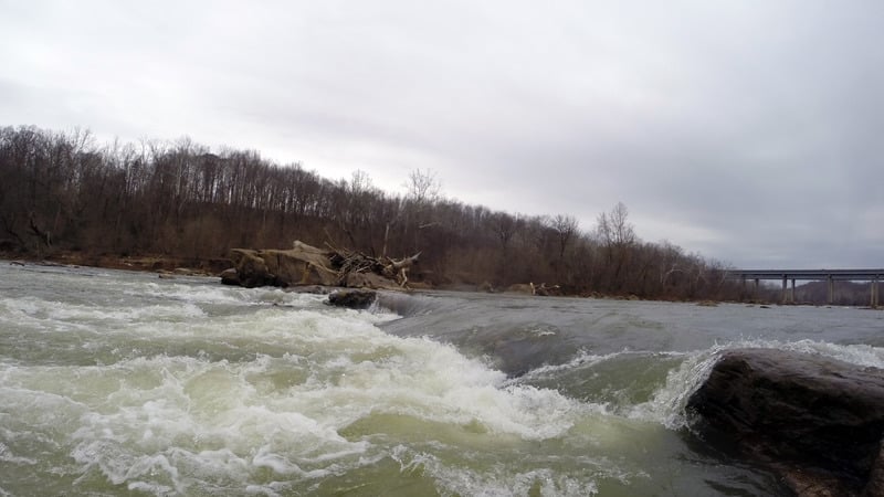
There are three Class I-II rapids in the first mile. This section is also quite beautiful and seemingly remote, as you are in a gorge of sorts owned by the City of Fredricksburg to protect its water supply.
As you go under I-95, you enter the section that used to be flatwater. Right at 95 there are some large boulders and bridge pilings that must be navigated around to quicken the heart of the novice. The first new Class II rapid is called Hunters Mill Rapid. Here water was diverted for a mill downstream near the dam. This is followed after a few hundred yards by "Carter Never Saw It", a tribute to the father of Virgnia Canoeing. The whole new section is reminiscent of Staircase or Kelly's Ford, with the two new rapids bookending the fun.
Novices looking for a fun trip can take out just below the removed dam. There is a takeout controlled by the Friends of the Rappahannock on river right.
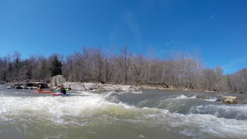
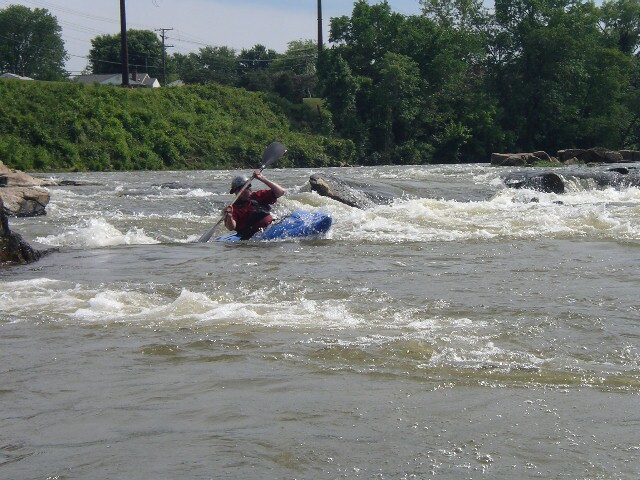
The Falmouth rapids section below the dam has some tasty Class III drops interspersed with short pools. You have a choice of routes for each rapid, and the more technical complicated passages tend to be to the right. Some of these routes are definitely Class III and pins are possible. The safer more straightforward routes involve staying with the main flow of the river.
For those into simulated creek boating, you can run the Falmouth section down a narrow passage on the left that runs on the other side of two islands.
The take out is on river right at Old Mill Park, just off of Fall Hill Avenue in Fredricksburg. To run just the bottom part, follow Fall Hill Avenue a mile upstream to the point where it turns away from the river.
Difficulty
Class I-III
Length
6.8 mi
Gradient
13 ft/mi
max 30
Rapids
0
Access Points
Difficulty Classes
I Easy
II Novice
III Intermediate
IV Advanced
V Expert/Extreme
VI Unrunnable
Current Conditions
5-Day Forecast
Whitewater data from
American Whitewater
American Whitewater