Carter Never Saw It
Save this feature with the run it belongs to.
Gauge Conditions
Data from American Whitewater & USGS
Photo
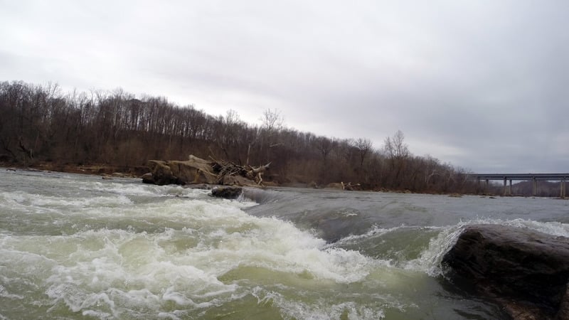
Photo courtesy of American Whitewater
Description
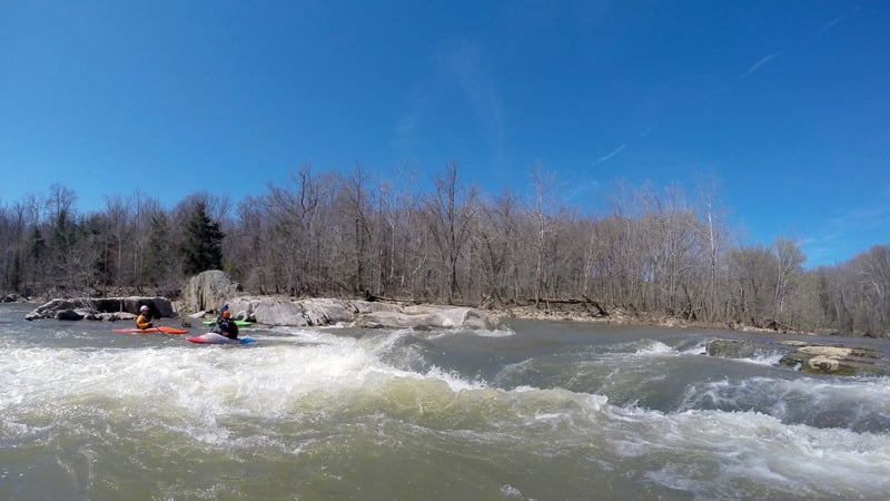
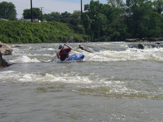
These rapids begin at the I-95 bridge and end just above Lauck's Island. Until the Embrey Dam was removed, all these rapids were flooded.
- Hunter's Mill Rapids:
- Remains of the pre-revolutionary war Hunter's Iron Works Dam. The river left portion of the last section is currently choked with several fallen trees.
- Iron Ring Rock aka Carter Never Saw It aka BFR
- Big Rock in the center of the river. All normal lines are to the left of the rock. There is a sieve just to the right of the biggest rock and an undercut danger on river right; however, most of the flow is going in the safe direction. Left of the rock there are 3 different chutes to choose from. All are good.
Location
View Full Run
4. Motts Run to Fredericksburg
Rappahannock
I-III
6.8 mi
Current Conditions
5-Day Forecast
Whitewater data from
American Whitewater
American Whitewater