5 - Middle Hooch - Buford Dam to Highway 20
Gauge Conditions
Runnable: 500.0 – 10,000.0 CFS
Data from American Whitewater & USGS
Run Map
Description
This attractive run, appropriate for giving beginners a taste of whitewater or a bit of low-pressure intermediate for non-release flows.
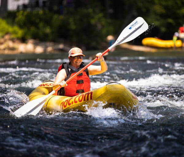
When the dam is releasing the difficulty increases to Class III+.
A siren sounds prior to opening the gates as warning to flow start. New boaters call ahead to check releases so you don't get caught. See Will Gosney's narrative below for more details.
The water quality is much better than 30 miles downstream; trout can be seen swimming along the bottom. It's COLD, since they intake the nice clear water 40 or 50 feet below the lake surface. The only hazards are strainers and the water temp. Although surrounding development has been heavy over the last decade, the river corridor there is still pristine, thanks to the Chattahoochee NRA and the efforts of the Chattahoochee Riverkeeper organization.
Put-in is just below Buford Dam at the southern end of Lake Lanier near Buford, GA. Drive across the dam to its western end and immediately hang a left through a gate onto a steep dirt road that winds downhill to a nice park on the west bank just below the dam. There's lots of free parking, picnic area, boat ramp and restrooms. This area typically gets gated shut at dark or 5PM, with remaining cars towed away, so plan your trip accordingly.
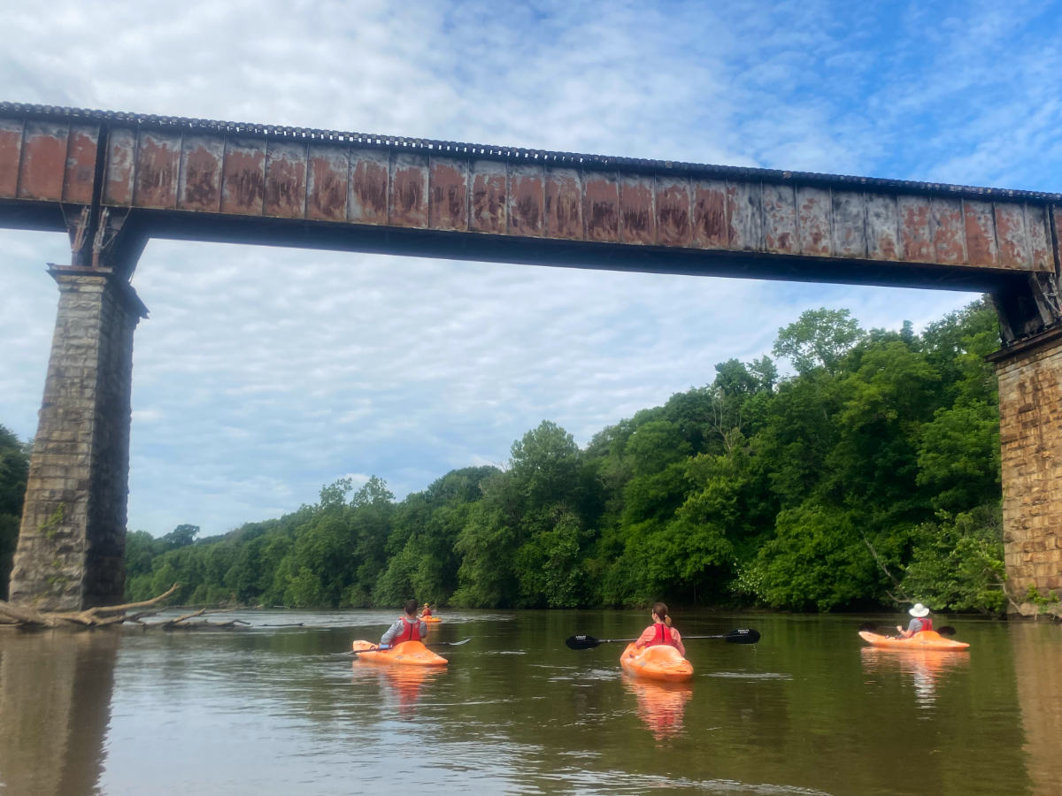
Half a mile or so below the put-in the river is split by Bowman's Island. You can run right or left; either side takes you down a quarter mile of Class I-II shoals until the flows merge again at the southern end of the island. There's lots of big, rounded, mossy rocks to keep things interesting. Good place to practice rockspins, ferrying and midstream eddying.
Another mile or so beyond this point the river disappears around a left-hand turn marked by a large gravel bar on river left. Around that bend is the best whitewater feature on this section, where a rock ledge extends across the river. Most of the water bangs into a big obvious truck-sized boulder (the "Hump") in the middle and funnels around the right side. Approach from the left side and set right to hit the chute. Fine spot for squirts & enders at the bottom. That end of the Hump is deeply undercut but the eddy pool below is huge and shallow, with a wide sandy beach on river left. Beware of ancient strainers on river right, the current will push you in that direction.
Part of the flow pours over left of the Hump and creates a small surfable hole. At high water a nice flat surfing wave opens up here (see photos).
This feature is also referred to as "The Tubes" by the squirtboaters (ref. http://www.sinkspots.org) - if you are a real good paddler in a smaller boat you can get down time here during release.
First take-out is below the Hump near the highway 20 bridge on the river-right side up a steep bank. That access is obtained by driving west on Highway 20 until you cross the bridge; look for the first dirt road on your right, drive in and find a park. No guarantees on the vandalism/theft factor at this location - cruiser traffic is heavy in the vicinity. You can park & play the Hump from there, however.
The second access point, if you don't mind wallowing through another couple miles of flat water, is to take out at the abandoned Settles Bridge. This is a marginally safer place to leave a car and ends the run with a nice leisurely float that cruisers will love and players will hate. Take Suwanee Dam road south for a couple miles past highway 20 and turn right on Johnson Road. Drive another mile and turn right at the stop sign onto Settles Bridge Road just before you would enter the big housing development. The road immediately turns to dirt; look for the small brown Chattahoochee NRA sign. It dead-ends a half mile down in a recently-improved gravel parking area. Walk down to the river for a look at the steel bridge ruins; that's your landmark for takeout.
Here's some wisdom from Will Gosney concerning the conditions during a dam release:
"Special care should be taken by newer paddlers (if you are not comfortable on class III swift & turbulent water) during dam releases. The water level, especially near the dam will rise about four feet and triple in speed within the space of less than 30 minutes. Special care should be taken if you are in a shoal area as the difficulty will increase dramatically as the water level rises. At the full height of the release, the rapids tend to wash out, so if you are caught in a mid-release situation, get to a safe area on shore or in a good eddy and wait for the water to rise fully. Do not get out on a mid stream rock as they will disappear underwater and a hydraulic will develop where the rock was. Keep in mind that if you put on shortly (within an hour or so) of the release, you can actually out paddle the bubble and arrive at the hump rapid when it is at mid release. At that stage, the difficulty may bump up to Class III/IV as it develops a river-wide hydraulic and the eddy behind the big rock becomes turbulent and whirlpool like. At mid release, the left side of the island increases to Class III+.
At full release the swift currents provide a very limited amount of rescue recovery potential and paddlers should be prepared to gather swimmers into their boats mid-stream using advanced rescue techniques. Most eddies disappear and the shoreline develops more strainers. The water is very cold, this will lead to an increased risk of hypothermia and possible drowning if a speedy rescue is not made."
One more warning - when the release is on, it can be very difficult to leave the river until past the highway 20 bridge, due to the steep banks and strainers. All the usual riverside eddies and sandbars go under, and it's a cold and miserable place to swim for more than a few minutes. People have drowned here due to lack of preparation. Please be safe out there and boat with friends.
Rapids in this Run (1)
Playspots (1)
Difficulty
Class I-II(III)
Length
2.4 mi
Gradient
15 ft/mi
Rapids
1
Access Points
Shuttle Info
From Ga20 take Swanee Dam north until it ends at Buford Dam Road.
Make a left on Buford Dam and make first left onto dirt road after crossing the dam
Difficulty Classes
I Easy
II Novice
III Intermediate
IV Advanced
V Expert/Extreme
VI Unrunnable
Current Conditions
5-Day Forecast
Whitewater data from
American Whitewater
American Whitewater