How's Your
River
×
Explore
Explore Map
Water Bodies
Gauges
Access Sites
Tidal Stations
Whitewater
Pricing
Login
Sign Up
Hazard Warning:
Hazard information may be user-submitted and unverified. Conditions change frequently. Always scout rapids and obstacles yourself.
Whitewater
Georgia
Chattahoochee - 5 - Middle Hooch - Buford Dam to Highway 20
The Hump
Playspot
GA
Class II+
The Hump
Chattahoochee - 5 - Middle Hooch - Buford Dam to Highway 20 (GA)
Monitor this Rapid
Water Body
This Run
Map
Other Rapids
Gauge
Weather
Directions
Gauge Conditions
Chattahoochee River at Buford DAM, near Buford, GA
Upstream
Primary
Runnable: 500.0 – 10,000.0 CFS
Data from
American Whitewater
&
USGS
Photo
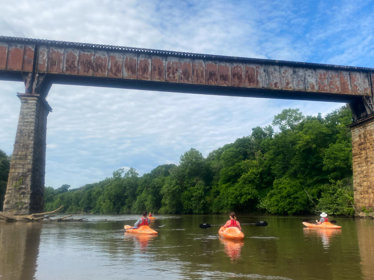
Photo courtesy of
American Whitewater
Description
Rock ledge extending from left bank with 2 chutes. Right chute is an S-turn; left pours into a hole.
Location
Radar
Counties
Cell
Verizon
AT&T
T-Mobile
Dark
Satellite
Terrain
Other Rapids on This Run (2)
Rapid
N/A
Put In
0.0 mi
Rapid
II
Bowman's Island
1.0 mi
Type
Playspot
Difficulty
Class II+
Mile Marker
2.5 mi
Directions
Navigate
View Full Run
5 - Middle Hooch - Buford Dam to Highway 20
Chattahoochee
I-II(III)
2.4 mi
Current Conditions
5-Day Forecast
Whitewater data from
American Whitewater
The Hump