5th St to Bob Bangart Park on Bottom Road (1 mile)
Gauge Conditions
Runnable: 200.0 – 2,400.0 CFS
Probably too low for good whitewater (may be passable in a boat).
Data from American Whitewater & USGS
Run Map
Run Time Estimate
Select put-in and take-out to estimate time.
Plan This Trip
See wind-adjusted speed maps, forecast planning, and detailed time estimates.
Sign in to generate an AI timing estimate for this run.
Whitewater timing varies with scouting, portages, and group pace. Use as a planning baseline.
Description
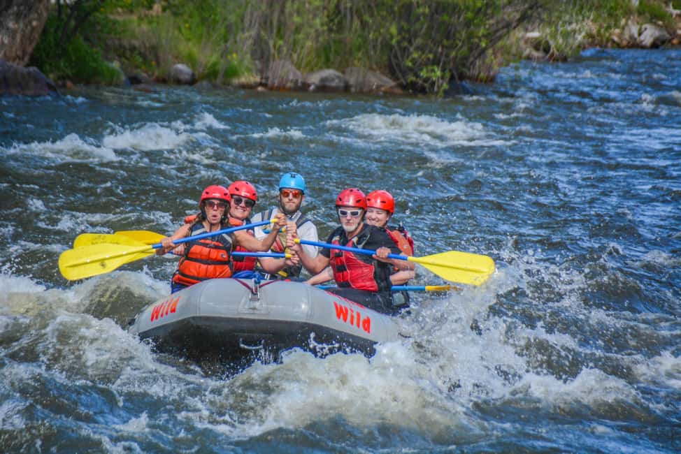
This is a great whitewater run that is VERY uncharacteristic of this part of Illinois. The pics do not do this creek justice.
While you can run a 4 mile section if you want, we generally choose to get our kicks by hitting the last mile (as listed here) starting below the 5th street bridge near the entrance to Parker Heights park. You can access the creek from the south side of the bridge by cutting through the woods from the railroad tracks.
This is a smooth rock bottom creek with some sediment in the pools, but the rock bottom makes for some great ledge drops and surfable features and holes. At low water this is a great learning run with forgivable features. No undercuts or really sharp rocks, the ledge drops are forgiving with recovery pools and a few (very few) eddies. The best surfable features have no eddy service, which is a drawback, but still a great creeking run.
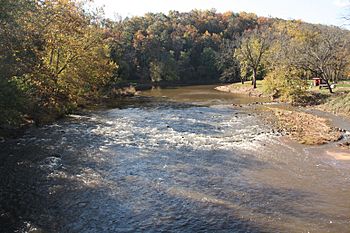
The best way to tell what to expect is to drive into the park and stop at the only large clearing in the trees at the side of the creek. The opening is just west of an overpass that spans over the park and you can see a diagonal concrete ledge that joins with an irregular rock surface on river right. That drop is called "Pecker's Knob."
If the ledge is mostly still visible and there is still somewhat of a drop, it's pretty low and I'd rate it about a class II+.
If the diagonal ledge can't been seen except for the concrete abutment on river left, then thats your class III+ with anywhere in between being a class III.
The class IV comes into effect when the diagonal ledge is all but gone and the water is flowing over the abutment on river left. this creates a nice hole at the bottom and another one on the last ledge.
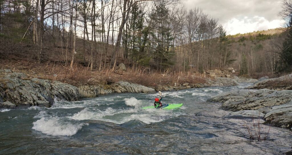
From this first diagonal ledge, it drops down to a long slider and another ledge with a hole and pool at the bottom which curves left next to a cliff face on the right. There is an eddy on river right before the cliff face if you need to rest. Make sure you catch it if you need to or if you swim; Once you pass the eddy, there is a vertical cliff on river right and the river left bank is extremely steep. The creek curves left and then right again with a rock cliff making up the river right bank all the way down almost to the end of the run. Around the right turn is a narrow slot with cliffs on both sides. Between these cliffs there is a drop and a long slider into a huge hole at high water -- great for playing but can catch the inexperienced paddler off guard. It's a very off camber drop, making kind of a horseshoe.
If you let the water take you when you come to the slot it will want to push you toward the center where there is often a low hanging tree branch and vine. Go to the left underneath it as you'll probably get hung up if you go to the right. Keep left as you go down the drop and into the hole and you can eddy out on river left. The cliff continues on river right for another 40 yards. Take out is on river right where the cliff ends. While you can continue downstream from the takeout, it's uneventful and difficult to find a takout spot. If you follow it long enough it empties into the mighty Mississippi.
We've run this creek at all levels except for when it is super high. Some of the features wash out at super high water, but it takes A LOT of water for that to happen. The holes aren't super-retentive and the water doesn't get much deeper than 5 feet in some of the pools, but the water moves so quickly that jammed toes and thumbs are common injuries. No real dangers of getting pinned on rocks. Logs, branches, and overhanging vines are usually the hazard to watch for.
Rapids in this Run (3)
Difficulty
Class II-IV
Length
0.5 mi
Gradient
35 ft/mi
Rapids
3
Access Points
Shuttle Info
Your shuttle is likely to be on foot, carrying up through the park.
Use the text-entry box below to enter your home or other starting address to get drive time, distance, and directions from there to this location.
Difficulty Classes
I Easy
II Novice
III Intermediate
IV Advanced
V Expert/Extreme
VI Unrunnable
Current Conditions
5-Day Forecast
Whitewater data from
American Whitewater
American Whitewater