7 Summersville Dam to Woods Ferry
Gauge Conditions
Runnable: ? – ? CFS
Approximate reading: This gauge is 0.2 miles away on Gauley. Use as a general reference only.
Data from American Whitewater & USGS
Run Map
Run Time Estimate
Select put-in and take-out to estimate time.
Plan This Trip
See wind-adjusted speed maps, forecast planning, and detailed time estimates.
Sign in to generate an AI timing estimate for this run.
Whitewater timing varies with scouting, portages, and group pace. Use as a planning baseline.
Description
Fun Fact: Every fall, the six weekends of Gauley season provide the biggest whitewater party of the year. American Whitewater's GauleyFest, is held on the third weekend of the month of September, is the world's largest whitewater festival.
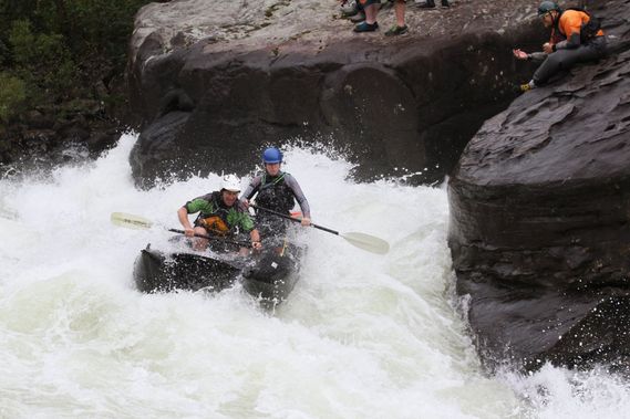
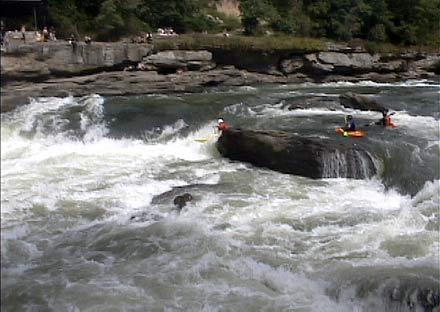
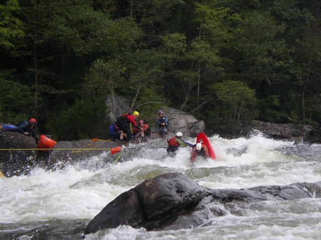
Hazards: There are several dangerous pinning spots on the Gauley. Three of the most famous are the sieve on river right at Initiation, Shipwreck Rock, and Conestoga Wagon.
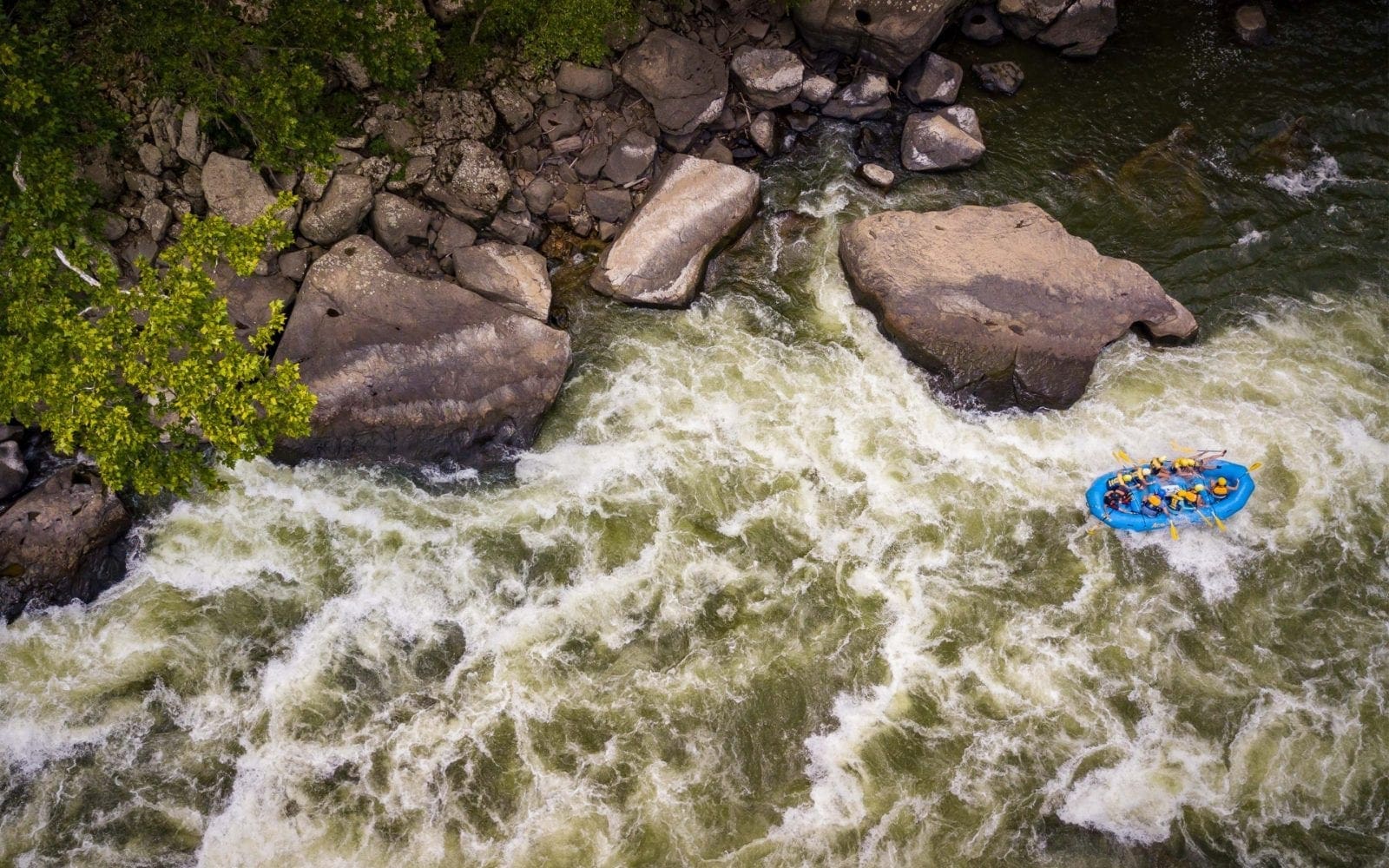
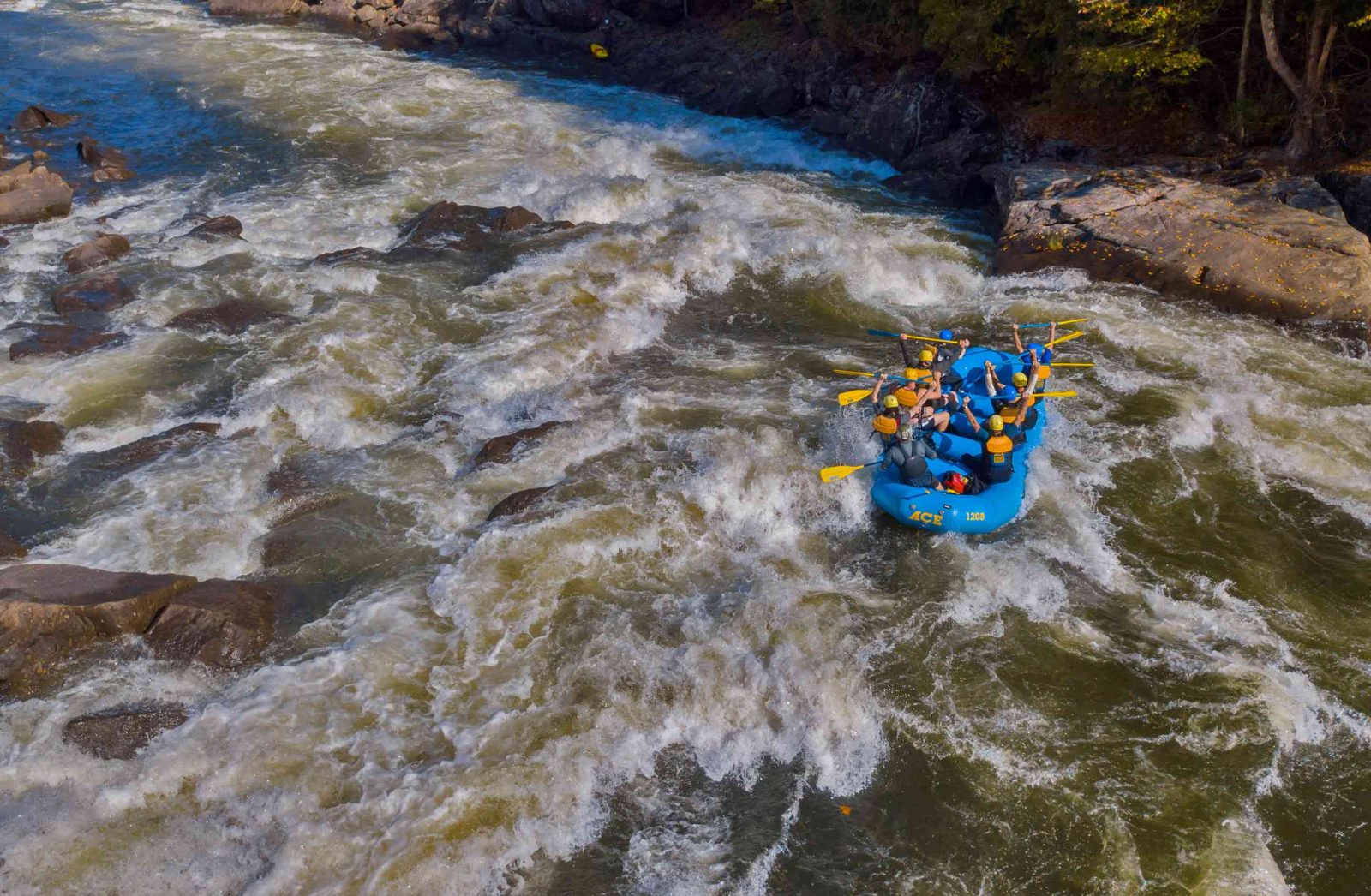
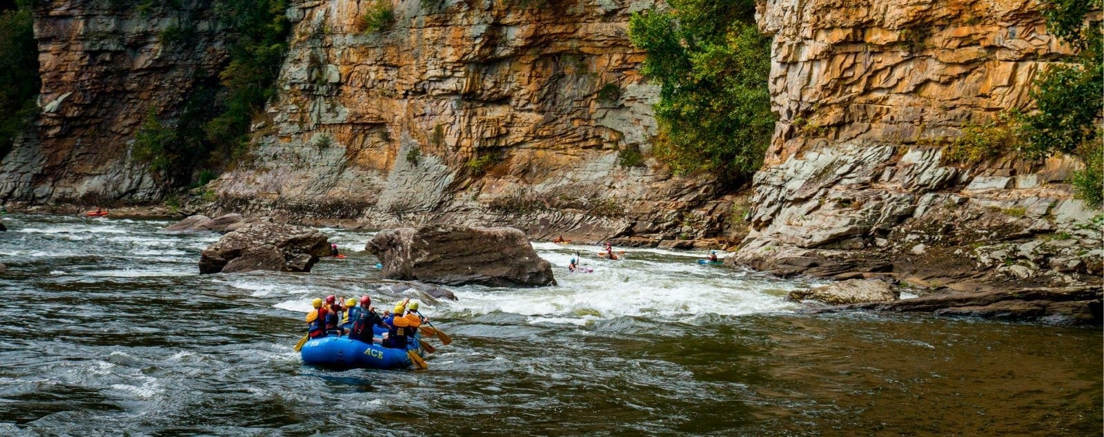
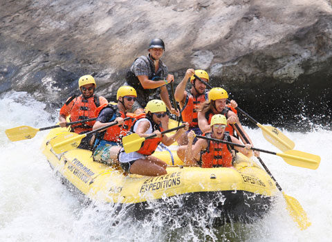
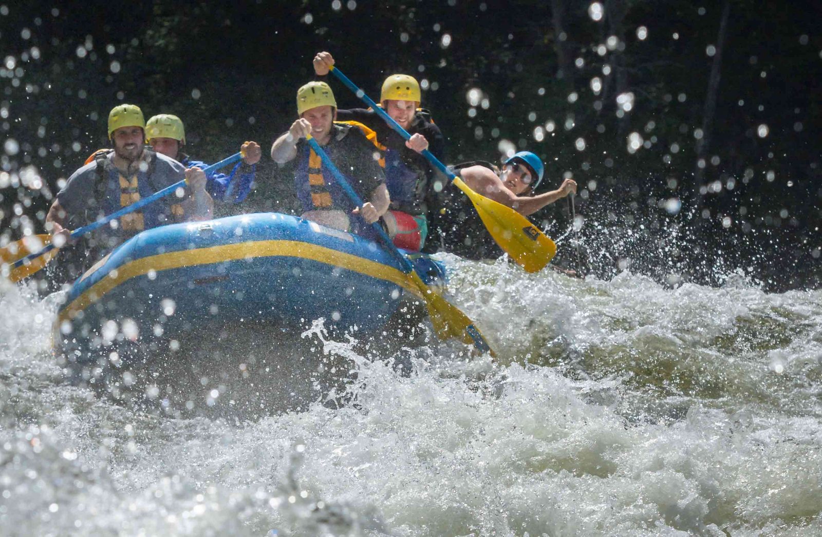
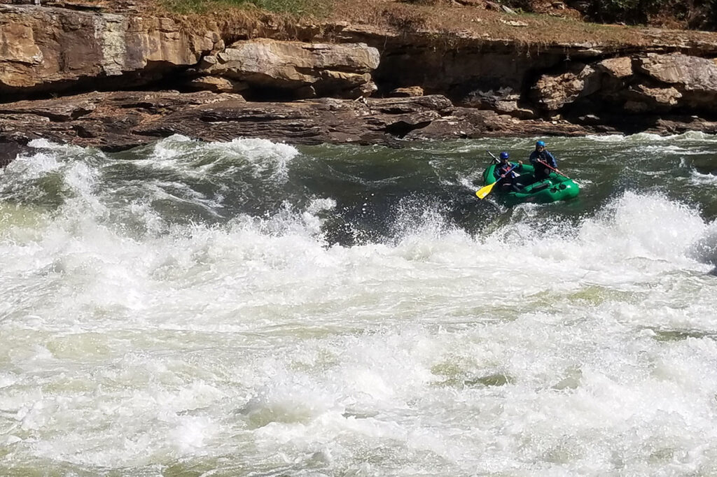
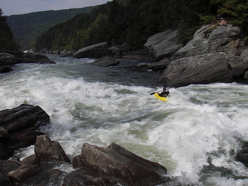
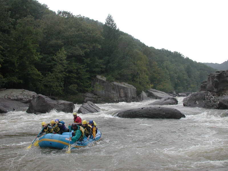
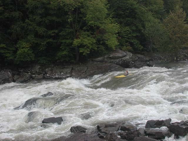
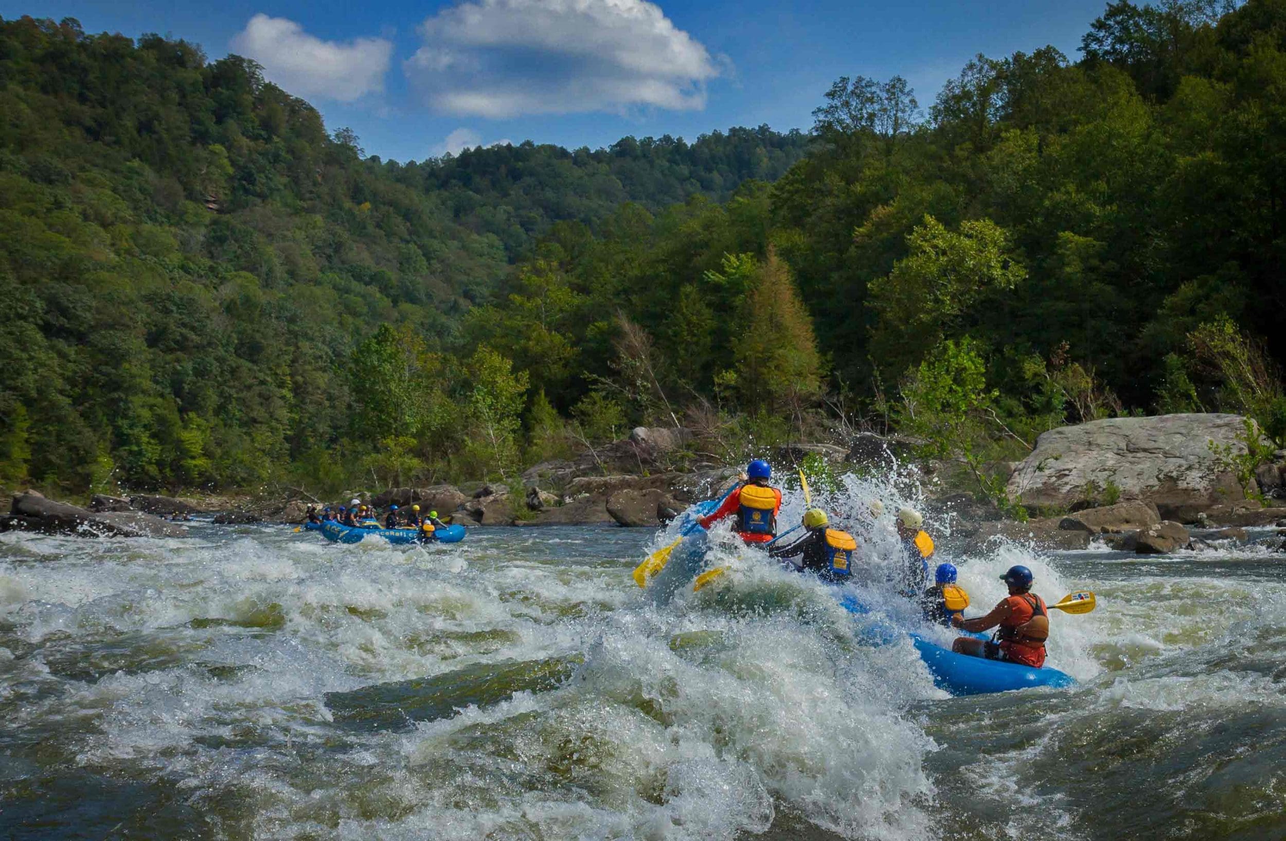
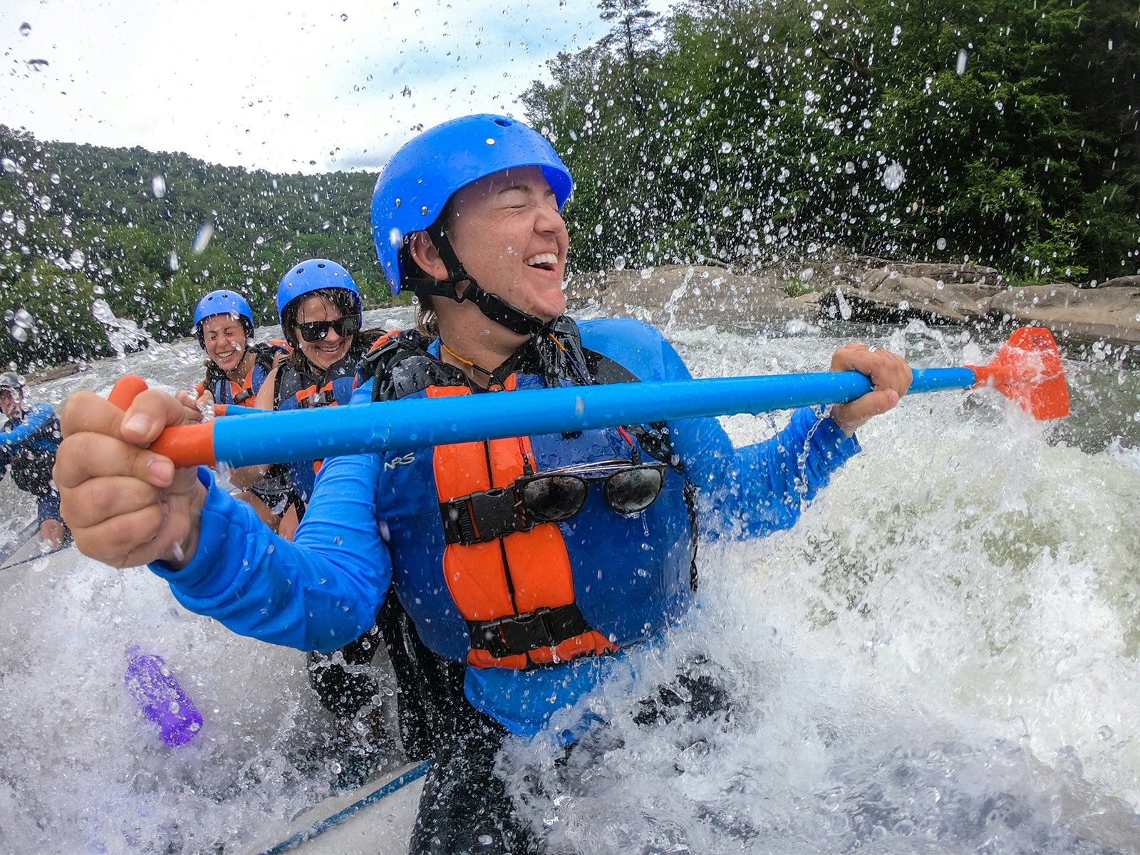
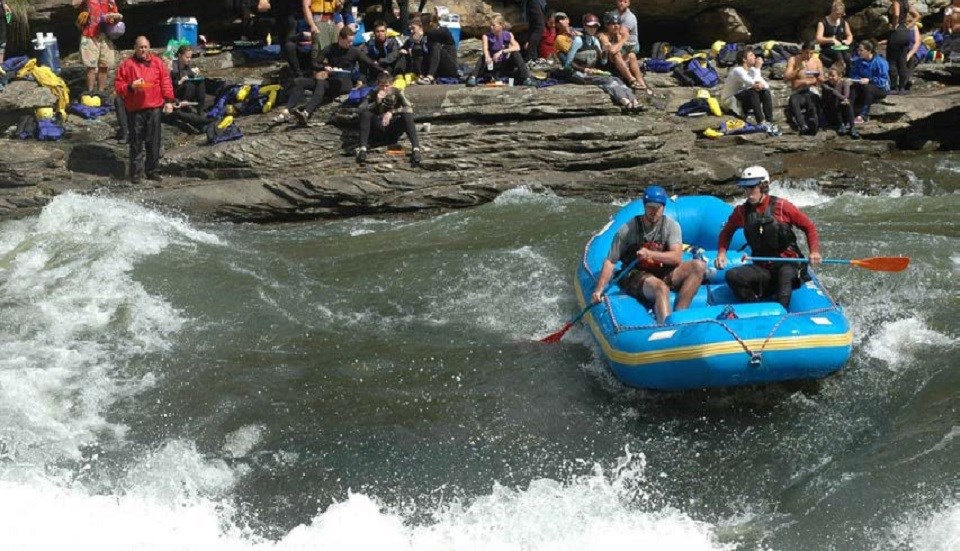
Description: The Gauley is a wonderfully busy river with an outstanding number of high-quality rapids throughout its 24-mile length from the Summersville Dam to Swiss. The character of the river is pool-drop and on the upper 9.8-mile section from the Summersville Dam to Mason's Branch, the most challenging rapids are at the lower limit of class V. Several other rapids on this river come in just a hair below this and are rated class IV+. The implication is simple. A paddler will need excellent endurance and very solid skills to prevent trouble on this long, powerful river. Bomb-proof bracing and 2-sided rolls, along with big water skills and precise maneuvering, are required to have reasonable assurance of a safe and an enjoyable run.
While many paddlers have the skills to enjoy the Gauley safely, there's still the occasional paddler who will have a great day until a certain point and then run out of steam. It seems that this point is sometimes reached about half way down Pillow Rock. Watch out for your friends. Once this level of fatigue is reached, mistakes and trashings occur much more often. Your friend may require some watchful assistance (and perhaps a few more rescues) before the day is over. PLEASE be careful! And remember, there's no shame in walking. The rapids won't be going anywhere.
The rapids on the Gauley are legendary. Insignificant, Pillow Rock, Lost Paddle, Iron Ring, and Sweet's Falls are world famous and deserve the notoriety. They are big, steep, demanding, and can have a serious bite for the paddler in the wrong place. But these aren't the only places where care is required. In fact some of the most dangerous places on the river are not as well known because the hazards are not immediately obvious.
A couple of simple pieces of advice can make the difference between a tired paddler and a beaten one at the end of the day. First, if you see a horizon line, go around it. There's usually a hole there. If you see a slot and nobody who knows the river well is going there, then don't go that way (until you scout it and consult with others for hazards at the bottom). And if you should swim, be extremely careful of the undercut rocks which are responsible for many of the fatalities that have occurred on this run.
The first run of the Gauley for whitewater recreation took place in 1957 when John Berry navigated the river by canoe prior to dam construction. The first decked-boat descent occurred in 1968 when John Sweet, Norm and Jimmy Hilcolmbe, Jack Wright, Miha Tomsic, and John Stuart explored the river during Labor Day weekend on a flow of approximately 1200 cfs. This was shortly after construction of Summersville Dam. John Sweet was the lone member of the party to attempt each of the big rapids that day, and they paddled the entire 26 miles from the dam to Swiss. In the following few years only a handful of boaters followed and the Gauley was known as one of the most challenging rivers in the east. While the river is still a challenging run with serious hazards, thousands of skilled boaters now paddle this river every year--making it one of the most popular runs in the country.
For those who want a taste of the Gauley River but are not yet ready for the Upper or Lower, you can boat a section known as the Middle Gauley from Mason Branch down to Woods Ferry (2.7 miles) or Bucklick (5.9 miles) which is an access just above Koontz Flume on the Lower. This gives you access to Perfect Wave and Julie's Juicer.
*Description and Rapid Summaries with contributions from Sam Lindblom, Lee Belknap, and John Kobak.*
Logistics:
From Charleston, WV:
Take I-64 East to Chelyan. Take the Chelyan-Cedar Grove exit, cross the river, and head East on Rt. 60. In Gauley Bridge, take a left onto Rt. 16 / 39 North. In Drennan, head East on 39. In Poe, head East on 129. Just after the Battle Run Campground on the Left, turn Right where the sign says 'Gauley River National Recreation Area.' If you cross the dam, you've gone too far. Head down the paved road to the water.
From Morgantown, WV:
Head down I-79. Take WV-19 South. *In Summersville, watch your speed on WV-19! Local police are aggressive with enforcement; if you are stopped, your car will very likely be searched!* After Summersville, Take Rte. 129 West. Just after the dam, turn left where the sign says 'Gauley River National Recreation Area.' (If you see Battle Run Campground, you've gone too far). Head down the paved road to the water. During the peak of Gauley season be prepared to walk down the road or use the shuttle service as parking fills up.
To the Panther Mountain Takeout near Mason's Branch: From the put-in head west on Hwy. 129. In Poe, at the white church, turn left onto Road 11/1. The road will turn unpaved soon. Don't worry about it. At the T intersection, turn left. When you see a field on the left, turn in and park. American Whitewater has leased this private property during Gauley season since 1990. Please behave yourself here. Please pick up after yourself. Don't camp overnight. Don't build fire rings. Don't allow your dogs to run free. The owners are very kind; let's not abuse their kindness. Continued use of the field is subject to annual renewal of the lease agreement. After many years of effort by dedicated volunteers and American Whitewater the National Park Service was able to acquire public access at the river at this site. Unfortunately parking is limited so during busy release weekends you still have to park your car at the field and hike up (NPS has provided a boat shuttle during times when they are not allowing personal vehicles down to the river). Incidentally, according to the topo map, the climb from the takeout to the parking area is roughly 400 feet. It's very steep, and with your boat on your shoulder, it feels like 4000! There are alternate take-outs downstream if you continue paddling the Middle Gauley or Lower Gauley.
Additional Information
- National Park Service, Gauley River National Recreation Area
- Army Corps of Engineers, Huntington District
- Belknap, L. 1999. Gauley River: Enjoy the Run but Beware.
- Lindblom, S. Upper Gauley Rapids, Volume 5: All of 'em.
- See the American Whitewater Standard Rated Rapids, Class V and Class IV for a comparison of some of the Gauley's rapids with others nationwide.
- Click here for the Middle Gauley, and click here for the Lower Gauley.
Rapids in this Run (17)
 Rapid
III
Rapid
III
Collision Creek
 Rapid
Rapid
Geek Wave
 Rapid
III+
Rapid
III+
Buds
 Rapid
V
Rapid
V
Insignificant
 Rapid
III+
Rapid
III+
Pick A Slot
 Rapid
IV
Rapid
IV
Iron Curtain
 Rapid
IV+
Rapid
IV+
Pillow
 Rapid
IV-
Rapid
IV-
Hungry Mother
 Rapid
III+
Rapid
III+
Meadow View
 Rapid
V
Rapid
V
Lost Paddle
 Rapid
IV+
Rapid
IV+
Tumblehome
 Rapid
IV+
Rapid
IV+
Iron Ring
 Rapid
III
Rapid
III
Fingernail
 Rapid
Rapid
Mason Branch Access
 Rapid
Rapid
Legg Field, America Whitewater Parking
 Rapid
III
Rapid
III
Perfect Wave
 Rapid
IV
Rapid
IV
Julie's Juicer
Waterfalls (1)
Hazards & Portages (2)
Caution: The following locations may require scouting or portaging. Always check current conditions.
Difficulty
Class IV-V
Length
12.0 mi
Gradient
36 ft/mi
max 48
Rapids
17
2 Hazards
Access Points
Shuttle Info
Use [this map](http://tinyurl.com/2dgqm6), or the one below, for good directions from the takeout to Rte. 129.
**Logistics:**
**From Charleston, WV:**
Take I-64 East to Chelyan. Take the Chelyan-Cedar Grove exit, cross the river, and head East on Rt. 60. In Gauley Bridge, take a left onto Rt. 16 / 39 North. In Drennan, head East on 39. In Poe, head East on 129. Just after the Battle Run Campground on the Left, turn Right where the sign says "Gauley River National Recreation Area." If you cross the dam, you've gone too far. Head down the paved road to the water. This is the only public-owned access to the river.
**From Morgantown, WV:**
Head down I-79. Take WV-19 South. _In Summersville, watch your speed on WV-19! Local police are aggressive with enforcement; if you are stopped, your car will very likely be searched!_ After Summersville, Take Rte. 129 West. Just after the dam, turn left where the sign says "Gauley River National Recreation Area." (If you see Battle Run Campground, you've gone too far). Head down the paved road to the water. During the peak of Gauley season be prepared to walk down the road or use the shuttle service as parking fills up.
**To the Panther Mountain Takeout near Mason's Branch:** From the put-in head west on Hwy. 129. In Poe, at the white church, turn left onto Road 11/1. The road will turn unpaved soon. Don't worry about it. At the T intersection, turn left. When you see a field on the left, turn in and park.
Difficulty Classes
I Easy
II Novice
III Intermediate
IV Advanced
V Expert/Extreme
VI Unrunnable
Current Conditions
5-Day Forecast
Whitewater data from
American Whitewater
American Whitewater