A) *2025.09.23 WOOD UPDATE* MenFalls: Main Street to Arthur Ave (0.4 mile)
Gauge Conditions
Runnable: 160.0 – 500.0 CFS
Bang and scrape (too low to call whitewater).
Data from American Whitewater & USGS
Run Map
Run Time Estimate
Select put-in and take-out to estimate time.
Plan This Trip
See wind-adjusted speed maps, forecast planning, and detailed time estimates.
Sign in to generate an AI timing estimate for this run.
Whitewater timing varies with scouting, portages, and group pace. Use as a planning baseline.
Description
Quick Facts:
For more than three years (spring 2022 through August 2025), this run had been essentially closed due to more than 20 trees down across the river! Epic rains hit the area in August, and flushed much of the wood out. While some wood remains, the next high-water event will flush more of the remaining wood out. As a result, this run is likely (cautiously) runnable. However, as always:
WALK THE FULL RUN BEFORE PUTTING ON ... *GET EYES ON EVERY INCH OF THE RUN* TO BE CERTAIN OF ACTUAL CONDITIONS THE DAY YOU ARE THERE ... JUST ONE FALLEN TREE OR SAPLING IN THE WRONG PLACE CAN TURN THIS FUN RUN INTO A DISASTER!
(If you aren't willing to do that, please just skip this run and go elsewhere!)
By the way, some remarks about the name: this is the Menom*o*nee River, not to be confused with the Menom*i*nee River. Both have three listed sections of whitewater. The Menom*o*nee River is in S.E.Wisconsin, while the Menom*i*nee River is on the northern border, between Wisconsin and Michigan. Since the name is pronounced the same (whether with the 'i' or with the 'o'), I distinguish the runs here by abbreviating the section names. This run on the Menomonee River in Menomonee Falls becomes *'MenFalls'*. (In similar fashion, other two runs on this river are *'MenWesTosa'* and *'MenTosa'*.)
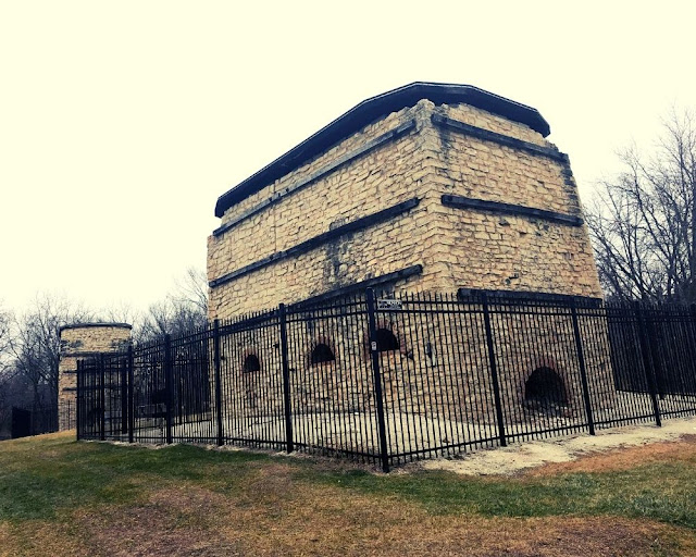
Location: Downtown Menomonee Falls
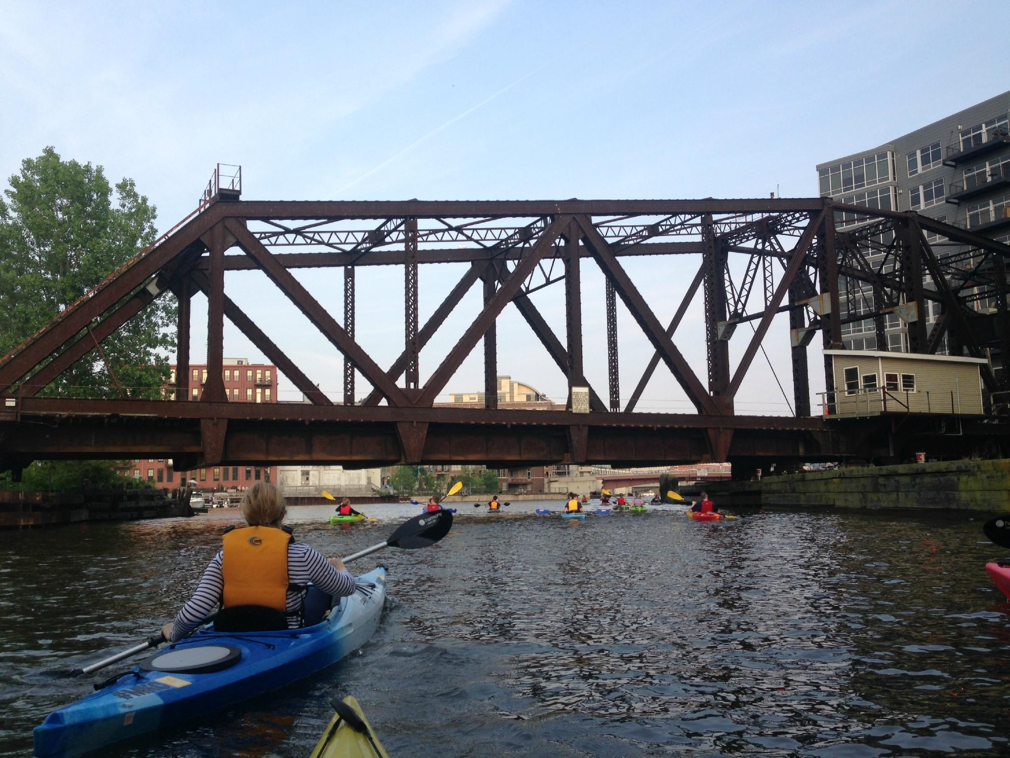
Put-in: *Mill Street Parking Lot, Menomonee Falls, WI*
Take-out: *43.1751, -88.1118* (public parking lot off of Arthur Ave., behind a Dairy Queen)
Shuttle Length: *<0.5 mile (carry up)*.
Put-in is approximately 820' elevation.
Take-out is approximately 767' elevation.
Thus total elevation change is approximately 53'.
(Avg. and Max. Gradients stated in masthead are 'actual' values IF one continued to a full mile downstream from put-in, thus include 7' of additional drop.)
Class/rating is NEVER enough to decide if you should run a river/rapids! Far more important than gradient and class/rating should be other less-quantifiable 'character factors': continuous versus pool/drop, wide-open routes versus constricted technical rapids, wide-channel (with multiple routes) versus narrow channel (with essentially one route), gradual river banks versus rocky shores or steep-walled gorges, et cetera.
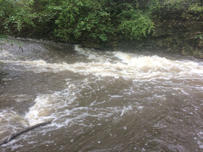
Character: Fairly continuous, extremely narrow, twists and turns, overhangs, overhanging shrubbery, random (ever-changing) deadfall.
River banks: vertical rock walls and steep banks (early), leading to eroded/undercut shores (later), with trees and shrubs overhanging and into the water.
Typical width: 10-30 ft.
Longest rapids: At low-to-moderate flows (from 150 to maybe 400 cfs) reasonably skilled whitewater boaters will be able to find eddies and 'work' the river. At higer flows, this whole run is one continuous rapids. If anyone 'abandons ship', they better have other experienced paddlers with them to give chase to boat(s) and paddle(s), or they can kiss their equipment goodbye!
Flow Info (using USGS flow data 2015-2025):
Average days per year above 200 cfs: 8.8
Average days per year above 300 cfs: 1.8
Average days per year above 400 cfs: 1.3
Average days per year above 500 cfs: 0.6
This tells you how rare it is to catch good flows on this incredibly fun brief dells: fewer than 45 hours per year over 300 cfs!
General Overview
Intimate 'mini canyon' run in a city park. Shallow limestone bedrock, with a river-wide 3' ledge (making a shallow wave/hole), make for a 'novelty' park-and-play with a decidedly 'creeky' feel. (There is something near 40-50' of drop in 0.45 mile, making an 'effective gradient' near 100 feet per mile!)
Be very cautious about boating this reach. At any time of year, at any boatable flow, it is virtually mandatory for all boaters to **hike this entire reach, *each and every time*, before boating. Since it is such a narrow, confined stream, with very few good eddies, trees or branches in the water at virtually any spot could be disastrous. Strong flows will also push you toward overhanging/undercut walls. Eddies will be few, small ('one-boat'), and often obstructed by overhanging vegetation (especially when foliage is fully lush). If you aren't completely confident that you can make the necessary twists and turns to negotiate the bends and get around or through any deadfall or strainers (or catch an eddy to get out before them), then don't put on!
Do not fall into the trap of thinking that since you have made it down once (or any number of times -- days, weeks, months or years before), that you can always make it down. The situation changes with each heavy rain or wind, as trees, wood and debris fall into and shift in this small stream. The key phrase to remember is 'Always walk before you run!'
The actual rapids almost never rate above a class III (really mostly class I-II). However, at anything above bare minimum flows, you need skills more in the class III-IV range (along with a proper whitewater boat). If you can't catch micro-eddies (or if you don't know what that means!), and if you can't roll your boat, do not even consider trying this run at flows above 200-250 cfs!
Contrary to logic or expectation, small rivers and creeks like this can be more dangerous than some larger rivers**, precisely because they will have so much UNAVOIDABLE overhanging shrubbery and deadfall, and essentially need to be in flood to run, meaning there won't be many eddies. You will be swept into things, and the strength of the current (and the steep-walled shore in many areas) can make it impossible to get you or your boat out of the river!
With no exaggeration, I would put this section of river as among the highest potential for calamity of any section in southeastern Wisconsin, especially if you fail to 'Walk before you run,' to know what hazards you have to deal with, and to make careful assessment of your true ability to navigate the tight bends and currents heading into undercut riverbanks.
Note: Legality of access may be questionable. Talking with local authorities (many years back), one time I was told it was completely 'ok' to boat here, another time I was told it is not permitted (though I can find no specific ordinance supporting such a claim). Therefore, my best recommendation is to be as quick and discreet as possible (while gearing up in this highly visible parking lot), and get to the river as quickly as possible.
If confronted by any anyone ('authorities' or not), be as polite as possible. You may wish to explain your experience with whitewater, explain your proper safety precaution and awareness, and explain your whitewater gear. But, do not belligerently assert your 'rights' to boat. Instead, be prepared to pack up, move on, and (perhaps) try some other time. Do not spoil it for others and give all boaters a bad reputation. *(FWIW, having boated this more than 40 times across 35+ years, I have never been stopped nor encountered any problem. Most folks either completely ignore us (as though they've seen it all before) or are politely curious and ask if they can watch.)*
Rapids in this Run (6)
Waterfalls (1)
Playspots (3)
Hazards & Portages (4)
Caution: The following locations may require scouting or portaging. Always check current conditions.

Difficulty
Class II-III
Length
0.4 mi
Gradient
60 ft/mi
Rapids
6
4 Hazards
Access Points
Shuttle Info
Most generally you will walk the shuttle on a paved path through the park back to your vehicle.
Therefore, use the following map mostly just to view for logisitics, and to enter your home or other starting location to get drive time/distance and directions to the put-in.
Difficulty Classes
I Easy
II Novice
III Intermediate
IV Advanced
V Expert/Extreme
VI Unrunnable
Current Conditions
5-Day Forecast
Whitewater data from
American Whitewater
American Whitewater