A) Bear Creek to Valley Lake Road/FR2141 (7 mi.) ***Likely access concerns***
Gauge Conditions
Runnable: ? – ? CFS
Approximate reading: This gauge is 6.7 miles away on Rat. Use as a general reference only.
Data from American Whitewater & USGS
Run Map
Interactive run map
Loads as you approach this section.
Run Time Estimate
Select put-in and take-out to estimate time.
Plan This Trip
See wind-adjusted speed maps, forecast planning, and detailed time estimates.
Sign in to generate an AI timing estimate for this run.
Whitewater timing varies with scouting, portages, and group pace. Use as a planning baseline.
Description
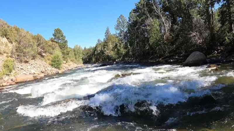
This is an upper reach of a tributary of the Peshtigo. USGS lists a one-time sampling site near Blackwell and lists drainage at that site as 47 square miles, which should be sufficient to create runnable flows at least a good handful of days a year. There are a good number of rapids marked on topo maps. Gradient is not high, so it's likely to entail a fair amount of flatwater paddling. Satellite view appears to show adequate size and (generally, best I can tell) a fairly open (unobstructed) stream. Alternate access points may be necessary, making longer (or possibly shorter) trips.
On some maps, this appears to be marked as entirely (or at least mostly) within Potowotomi Indian Reservation, which may affect legality of access.
So . . . anyone ever explore this reach? Add a comment or report of your findings! If it was not worth it save someone the brutality of the exploration, or (if it was) let folks know about a worthwhile 'discovery'!
Difficulty
Class II
Length
6.8 mi
Gradient
12 ft/mi
Rapids
9
Access Points
Difficulty Classes
I Easy
II Novice
III Intermediate
IV Advanced
V Expert/Extreme
VI Unrunnable
Current Conditions
5-Day Forecast
Whitewater data from
American Whitewater
American Whitewater