Rapid
WI
marked rapids #6
Save this feature with the run it belongs to.
Gauge Conditions
Runnable: ? – ? CFS
Approximate - nearest available gauge. Use as general reference only.
Data from American Whitewater & USGS
Photo
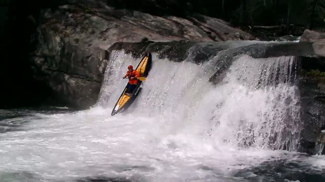
Photo courtesy of American Whitewater
Description
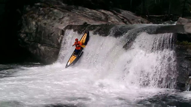
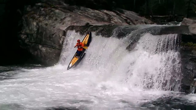
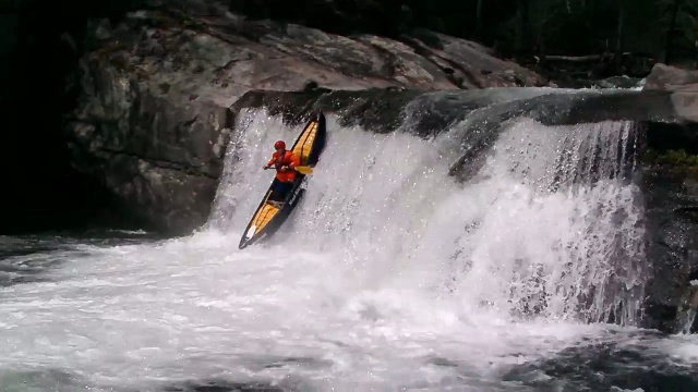
The Rat River's Rapid #6 presents a complex navigational challenge with its dense boulder field and multiple potential line choices. Paddlers must carefully scout and select a route that minimizes collision risk, as the rapid's rock formations create unpredictable water hydraulics and potential pin spots. Precise boat positioning and quick maneuvering are critical to successfully negotiating this technical section.
Location
Interactive river map
Loads as you approach this section.
Other Rapids on This Run (10)
Rapid
N/A
CTH.H: Possible alternate access
Rapid
N/A
Put In: 70.2 square miles
 Rapid
N/A
Rapid
N/A
Former USGS gauge: 47 sq.mi. Drainage
 Rapid
N/A
Rapid
N/A
marked rapids #1
 Rapid
N/A
Rapid
N/A
marked rapids #2
 Rapid
N/A
Rapid
N/A
marked rapids #3
Rapid
N/A
Diamond Road/Rat River Road (82.1 sq.mi.)
 Rapid
N/A
Rapid
N/A
marked rapids #4
 Rapid
N/A
Rapid
N/A
marked rapids #5
Rapid
N/A
Take Out: Valley Lake Road / FR2141
View Full Run
A) Bear Creek to Valley Lake Road/FR2141 (7 mi.) ***Likely access concerns***
Rat
II
6.8 mi
Current Conditions
5-Day Forecast
Whitewater data from
American Whitewater
American Whitewater