A) Belille Falls (Arpin Dam) to powerhouse (1 mile)
Gauge Conditions
Runnable: 864.0 – 2,064.0 CFS
Likely no flow in natural channel (if hydroplant is operating). Likely too low for whitewater boating.
Data from American Whitewater & USGS
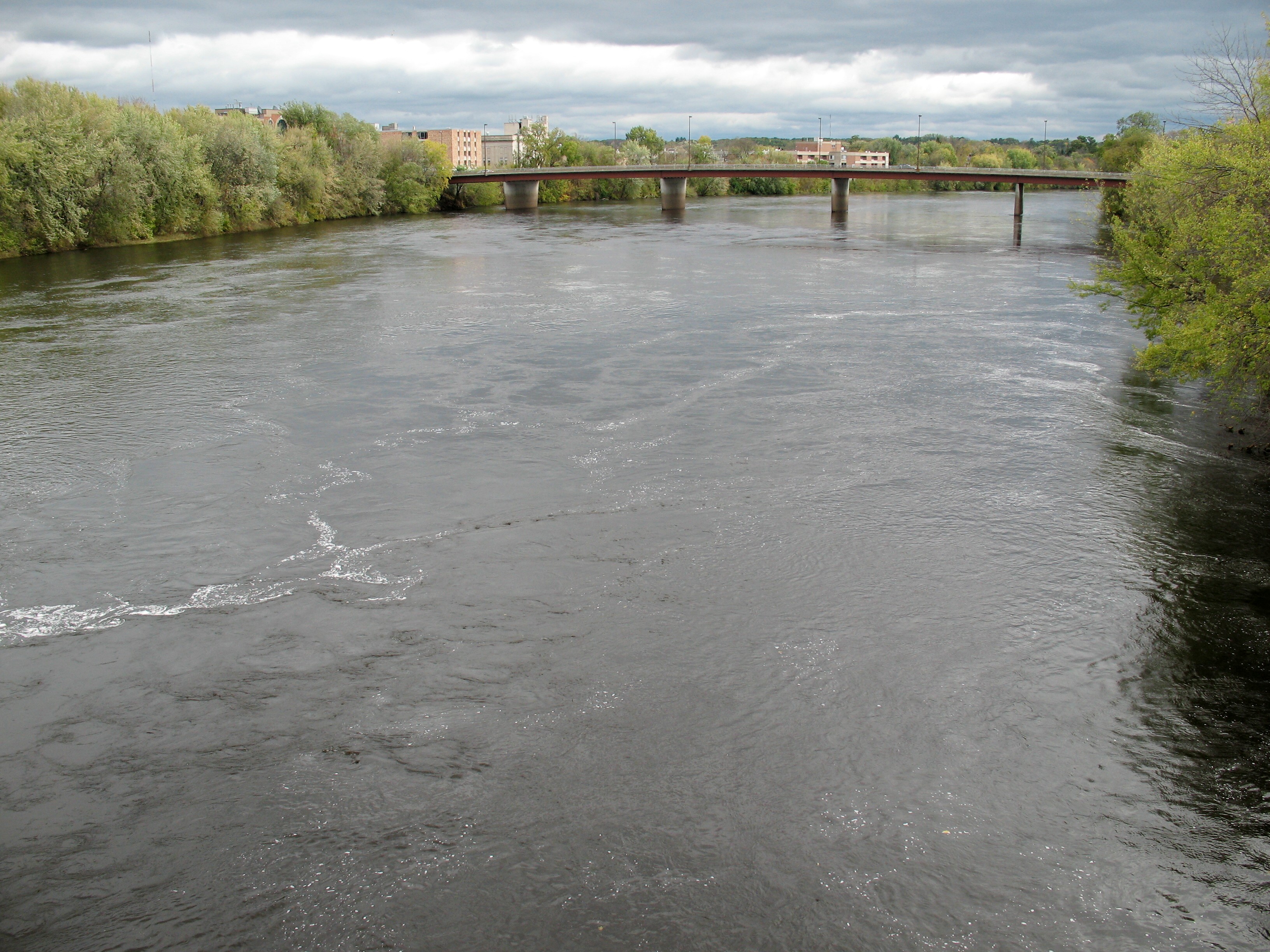
Run Map
Run Time Estimate
Select put-in and take-out to estimate time.
Plan This Trip
See wind-adjusted speed maps, forecast planning, and detailed time estimates.
Sign in to generate an AI timing estimate for this run.
Whitewater timing varies with scouting, portages, and group pace. Use as a planning baseline.
Description
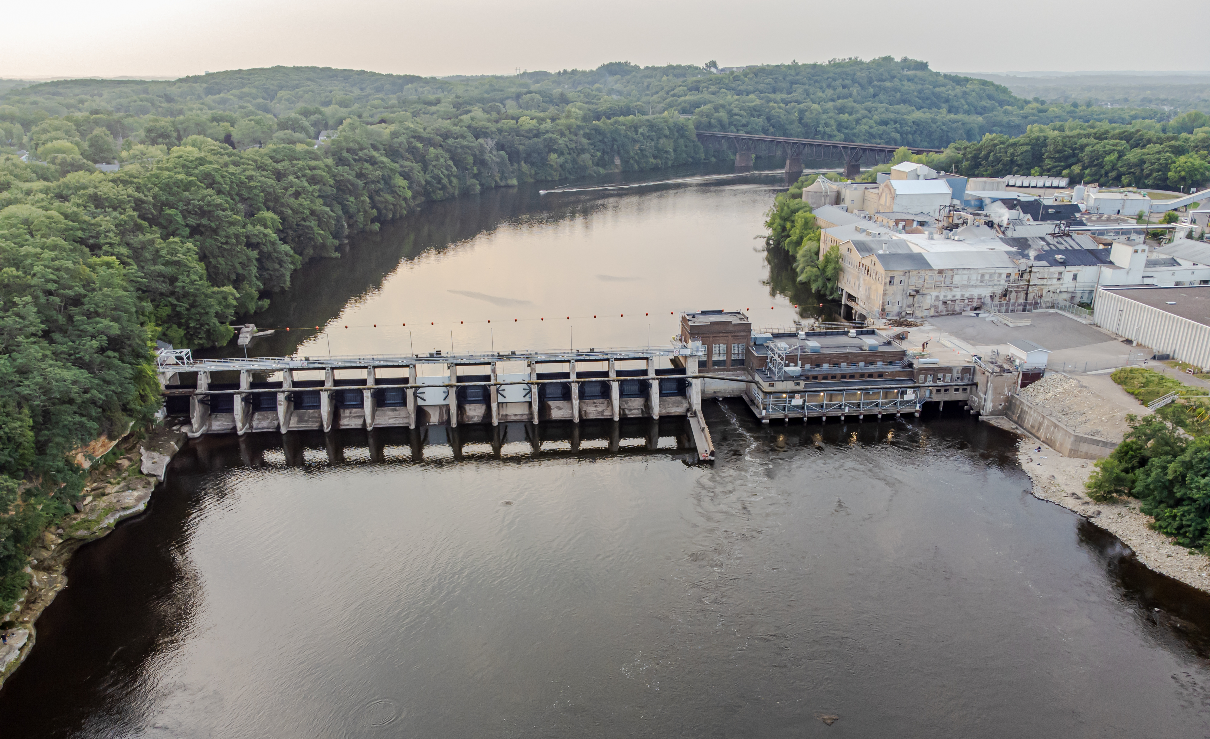
Class II Belille Falls is marked on maps as being in the natural river channel below Arpin Dam, and before the powerplant returns its water to the river.
We have no first-hand information regarding the remainder of the reach as listed here. Doing a 'virtual walk' (using online aerial views) downstream from the powerhouse, there are absolutely no obvious areas of rapids or shoals in the rest of this listed run. Thus, whitewater boaters are likely to be interested only in the (just less than) 1-mile stretch from the dam(s) to the powerhouse.
Anyone with more knowledge as to the merits of Belille Falls (rapids) and/or the rest of this reach is encouraged to help your fellow boaters using the "Comments" input box (which should appear below for all registered, logged-in users).
IMPORTANT NOTE!
It would appear that there are actually three sets of releasable gates from the Radisson Flowage (plus the intake canal for the hydroplant). When river flow exceeds hydroplant capacity, water will be released from the dam. However, depending upon how much needs to be released, it seems plausible that not all gates in all three releasable locations might be open.
This could affect your put-in location! Our coordinates will take you to the river-right-most location
To get to the river-left-most location, use coordinates: 45.7596, -91.2016
Rapids in this Run (4)
Playspots (1)
Difficulty
Class I-II
Length
9.7 mi
Gradient
25 ft/mi
Rapids
4
Access Points
Difficulty Classes
I Easy
II Novice
III Intermediate
IV Advanced
V Expert/Extreme
VI Unrunnable
Current Conditions
5-Day Forecast
Whitewater data from
American Whitewater
American Whitewater