A) Burned Dam CG to Bond Falls Flowage (6.4-11.5 miles) Wild
Gauge Conditions
Runnable: 150.0 – 1,000.0 CFS
Likely too low. Uncertain. We need your input! Add a comment or report.
Data from American Whitewater & USGS
Run Map
Put-in
Take-out
Rapids/Hazards
Wild
Scenic
Recreational
Run Time Estimate
Select put-in and take-out to estimate time.
Plan This Trip
See wind-adjusted speed maps, forecast planning, and detailed time estimates.
Sign in to generate an AI timing estimate for this run.
Whitewater timing varies with scouting, portages, and group pace. Use as a planning baseline.
Description
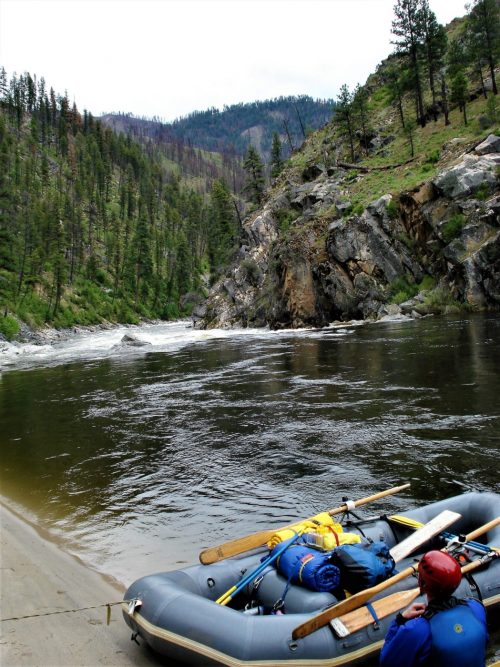
Put-in is at Burned Dam Campground either above or below Mex-i-min-e Falls, a class III or IV rapid depending upon flow. It may be noted that one of the holes in this drop has been known to forcibly extricate paddlers from their boat. Experienced boaters may be most likely to just park-and-huck this drop.
The reach from there is a pleasant float with intermittent rockbed rapids. Little Falls is marked on the maps where the river enters the Bond Falls Flowage. It is quite possible that the falls itself is buried beneath the waters of the flowage as there is only a short class II drop there now. There is an egress paddle over the waters of the flowage to a public access point off Bond Falls Rd. Bond Falls is located below the dam on the north side of the road and is well worth a visit if in the area. Like Agate Falls downstream, it is a high drop onto rock and not runnable but very scenic.
As the final miles of river before the flowage are primarily moving water, paddlers may wish to use an alternate take-out at Interior Road.
Difficulty
Class I-II(III)
Length
11.2 mi
Gradient
9 ft/mi
max 21
Rapids
8
Access Points
Difficulty Classes
I Easy
II Novice
III Intermediate
IV Advanced
V Expert/Extreme
VI Unrunnable
Current Conditions
5-Day Forecast
Whitewater data from
American Whitewater
American Whitewater