Rapid
MI
Horseshoe Bend
Save this feature with the run it belongs to.
Gauge Conditions
Runnable: 150.0 – 1,000.0 CFS
Likely too low. Uncertain. We need your input! Add a comment or report.
Data from American Whitewater & USGS
Description
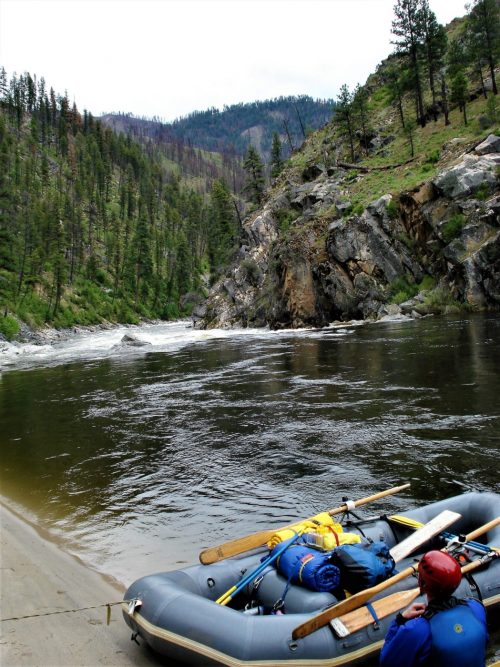
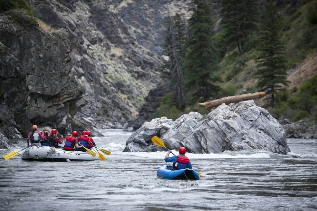
After a hairpin right-hand bend (from North around to South), as the river quickly heads 90-degrees left (East) it encounters a stretch of low-grade (class I-II) rapids which does a sweeping left-hand horseshoe bend (to the North, then back to the West), and through a few more lesser bends before petering out (about a half-mile).
Location

View Full Run
A) Burned Dam CG to Bond Falls Flowage (6.4-11.5 miles)
Ontonagon, M.Br.
I-II(III)
11.2 mi
Current Conditions
5-Day Forecast
Whitewater data from
American Whitewater
American Whitewater