A) Hwy.189 to FS2150 (15.8 miles)
Gauge Conditions
Runnable: 250.0 – 2,500.0 CFS
Likely low to moderate flows.Uncertain about best levels. If you have info, help us out with a comment or report.
Data from American Whitewater & USGS
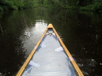
Run Map
Run Time Estimate
Select put-in and take-out to estimate time.
Plan This Trip
See wind-adjusted speed maps, forecast planning, and detailed time estimates.
Sign in to generate an AI timing estimate for this run.
Whitewater timing varies with scouting, portages, and group pace. Use as a planning baseline.
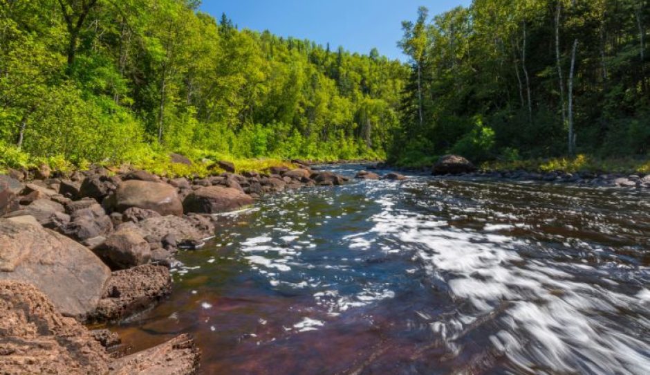
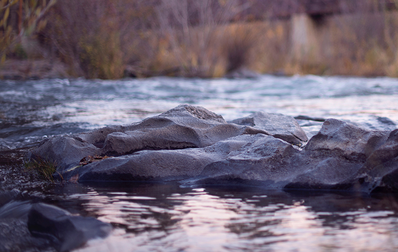
Description
Longer (mostly flatwater) trips available. Alternative access points may allow shortening this trip as well. It appears (via maps) the trip may be 'halved', and the lower portion may be almost 'halved' as well. (Convenience of access unknown, nor is the specific location of rapids, therefore unknown what accesses to use for 'best' whitewater on shortest reach.)
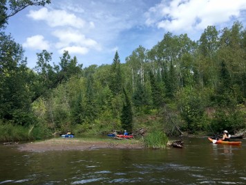
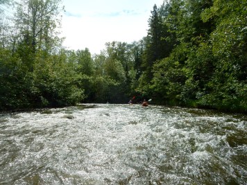
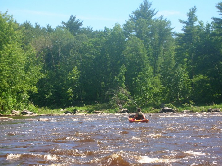
_Adding some info...this isn't really a whitewater river at all, atleast not from the lake near Nelma to Paint River Pond. You can paddle a continuous 50 mile section of river with no portages, however the biggest 'rapid' you'll find is a small 2 foot ledge. Beyond that if you want a scenic kayak camping trip that you could also canoe camp that flows when everything else is low this is perfect. There are a few established campsites along the way, one being just after that small ledge. -Jake_
Rapids in this Run (10)
 Rapid
Rapid
Drainage: ~163 sq.mi.
 Rapid
Rapid
Possible island/wave/ledge?
 Rapid
Rapid
Confluence: Outflow from Wisconsin Slough
 Rapid
Rapid
Island String
 Rapid
Rapid
Confluence: Iron River
 Rapid
Rapid
Scott Lake Rd/National Forest Rd.2152
 Rapid
Rapid
Rapids?
 Rapid
Rapid
Possible minor rapids?
 Rapid
Rapid
Pentoga Rd (WI) / Cherry Ave (MI) Bridge
 Rapid
Rapid
Island
Playspots (1)
Difficulty
Class I-II
Length
16.0 mi
Gradient
7 ft/mi
max 22
Rapids
10
Access Points
Difficulty Classes
I Easy
II Novice
III Intermediate
IV Advanced
V Expert/Extreme
VI Unrunnable
Current Conditions
5-Day Forecast
Whitewater data from
American Whitewater
American Whitewater