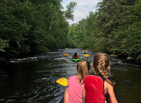
Rapid
WI
Confluence: Iron River
Save this feature with the run it belongs to.
Gauge Conditions
Runnable: 250.0 – 2,500.0 CFS
Likely low to moderate flows.Uncertain about best levels. If you have info, help us out with a comment or report.
Data from American Whitewater & USGS
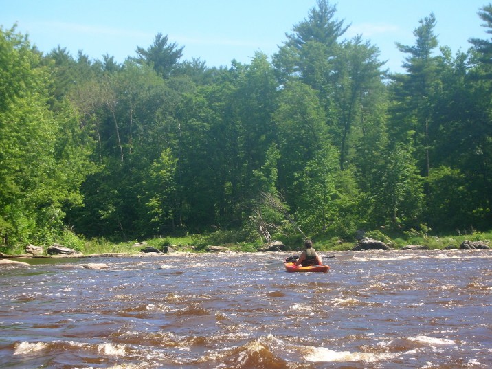
Photo
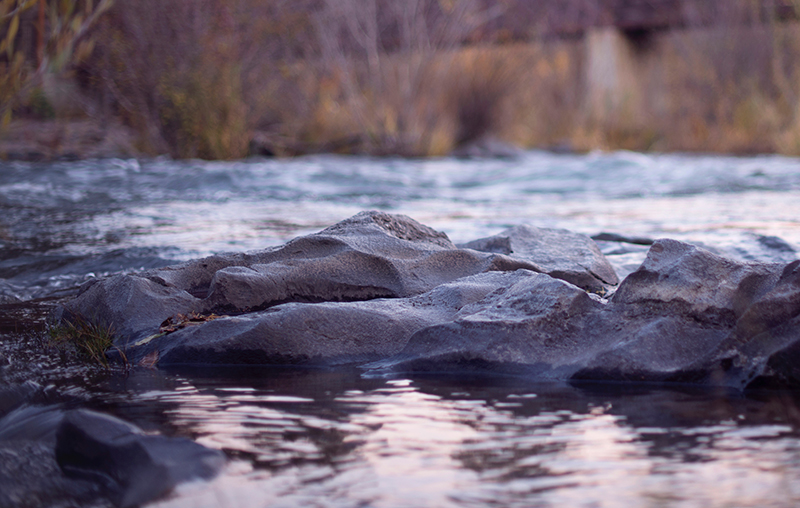
Photo courtesy of American Whitewater
Description
Iron River enters from the left. Just downstream, a (private?) bridge, and some minor swifts/shoals may be found.
USGS lists a (former) sampling site on the Brule just upstream of this confluence, showing drainage as 68.5 square miles.
Location
Other Rapids on This Run (12)
 Rapid
N/A
Rapid
N/A
Put In
 Rapid
N/A
Rapid
N/A
Drainage: ~163 sq.mi.
 Rapid
N/A
Rapid
N/A
Possible island/wave/ledge?
 Rapid
N/A
Rapid
N/A
Confluence: Outflow from Wisconsin Slough
 Rapid
N/A
Rapid
N/A
Island String
 Rapid
N/A
Rapid
N/A
Scott Lake Rd/National Forest Rd.2152
 Rapid
N/A
Rapid
N/A
Rapids?
 Rapid
N/A
Rapid
N/A
Possible minor rapids?
 Rapid
N/A
Rapid
N/A
Pentoga Rd (WI) / Cherry Ave (MI) Bridge
 Playspot
N/A
Playspot
N/A
Possible Short Ledge
 Rapid
N/A
Rapid
N/A
Island
 Rapid
N/A
Rapid
N/A
Take Out
View Full Run
A) Hwy.189 to FS2150 (15.8 miles)
Brule
I-II
16.0 mi
Current Conditions
5-Day Forecast
Whitewater data from
American Whitewater
American Whitewater