A) Hwy. 2 at WI/MI state line to Nylund Road (3.6 miles)
Gauge Conditions
Runnable: ? – ? CFS
Approximate reading: This gauge is 23.8 miles away on Montreal. Use as a general reference only.
Data from American Whitewater & USGS
Run Map
Interactive run map
Loads as you approach this section.
Description
Our preferred put-in is at the Wisconsin Welcome Center, just upstream (South) of Hwy 2. (It's great to have heated changing rooms!)
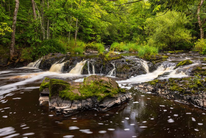
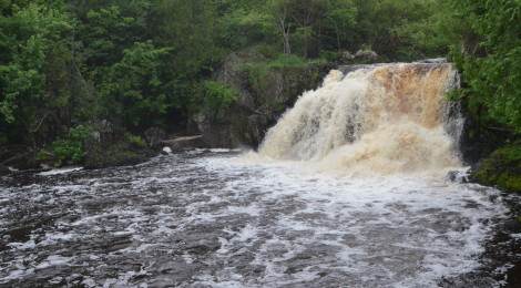
On river, after about a mile of flatwater access, you'll find two significant falls. Peterson Falls (IV) is a rocky slide. Interstate Falls (V) (25') is runnable, but usually portaged. Between them is fairly continuous with few eddies. It is easy to pass the 'point of no return' above Interstate Falls, which has a tricky approach and (across much of its width) lands on shallow or exposed rock. Downstream of the falls, after a brief pause, you'll find nearly continuous rapids (possibly with many strainers) nearly all the way to the take-out.
Take-out is Nylund Road (A.K.A. Town Road 0028). (This was formerly labeled as Erickson Road, but I find no online indications of that name at present.)
Waterfalls (2)
Difficulty
Class II-IV(V)
Length
3.4 mi
Gradient
73 ft/mi
max 136
Rapids
0
Access Points
Difficulty Classes
I Easy
II Novice
III Intermediate
IV Advanced
V Expert/Extreme
VI Unrunnable
Current Conditions
5-Day Forecast
Whitewater data from
American Whitewater
American Whitewater