A) MacArthur Pine Rd to Newald Tower Rd. (21.2 miles)
Gauge Conditions
Runnable: ? – ? CFS
Approximate reading: This gauge is 14.4 miles away on Popple. Use as a general reference only.
Data from American Whitewater & USGS
Run Map
Interactive run map
Loads as you approach this section.
Run Time Estimate
Select put-in and take-out to estimate time.
Plan This Trip
See wind-adjusted speed maps, forecast planning, and detailed time estimates.
Sign in to generate an AI timing estimate for this run.
Whitewater timing varies with scouting, portages, and group pace. Use as a planning baseline.
Description
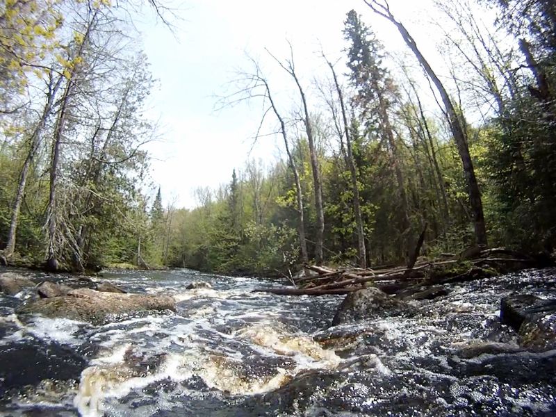
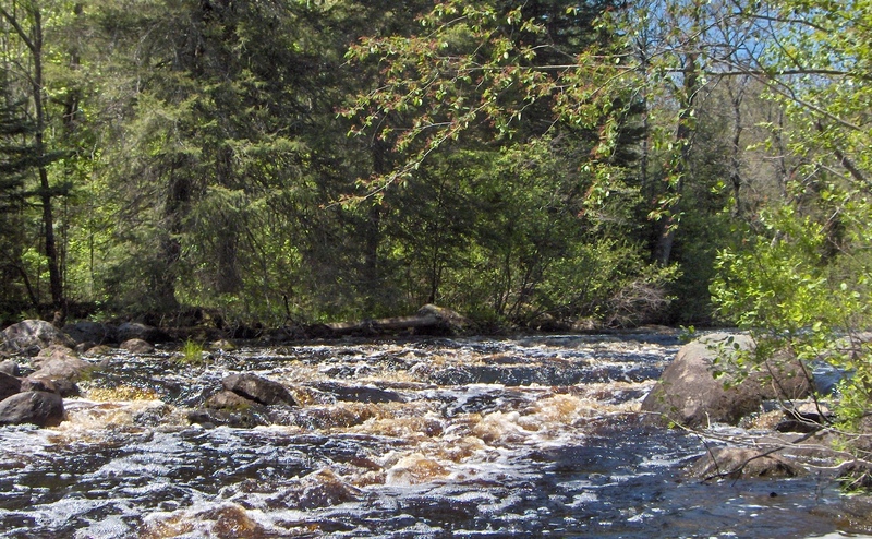
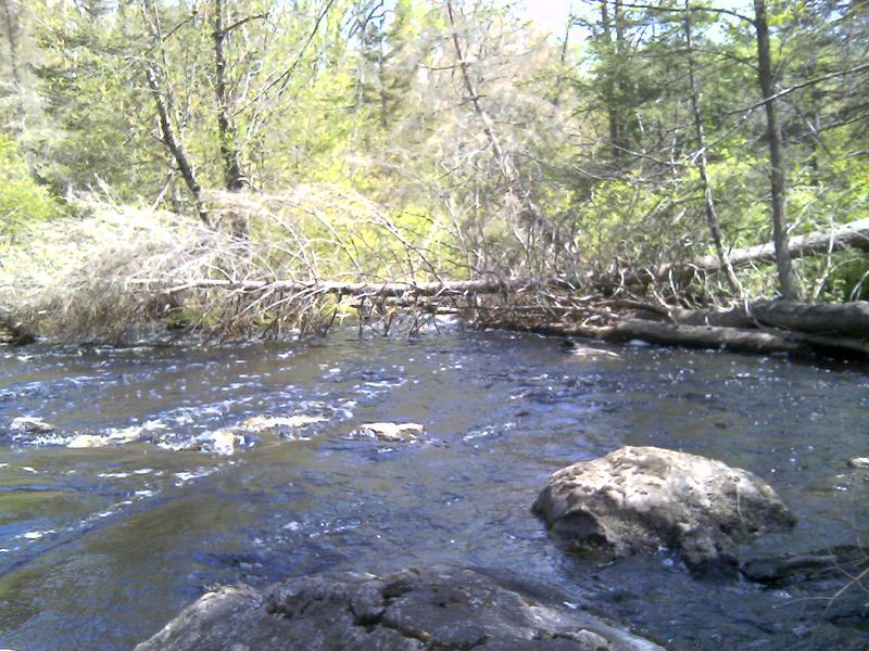
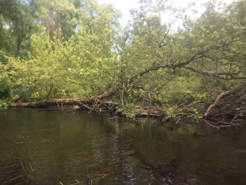
Above Cedar and NT (Newald Tower) Rapids the river is intimate, thus blockages are likely. There are 13 sets of low-gradient, rocky rapids (I-II): six from MacArthur Pine to Hwy 139, five from New 139 to Twin River Rd, and five (plus NT Rapids) from Twin River Rd. to Newald Tower Rd). Between rapids the river is generally deep and floatable.
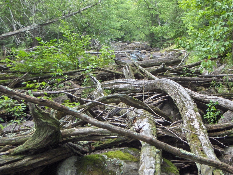
Whitewater adventures are available with higher flows (probably over 3-400 cfs measured at the USGS station 25 miles downriver) but the remoteness, narrowness, and the tendency for deadfalls increasing the level of risk or struggle the further upriver one starts. Shuttle distances are not long and gravel roads are usually acceptable for a bike-back option.
Twin River Rd to Newald Tower Rd is 5.8 miles of river and a shuttle distance of 6.7 miles. For several years there has been a growing obstruction (between the 4th and 5th of eight drops in Holmes Rapids) that requires a short, snarly drag-around on the right. The reward of this section is NT Rapids.
Hwy 139 to Twin River Rd. is 7.1 miles of river with a shuttle distance of 5.1 miles. Half of this stretch is through marshland. There is a massive obstruction in the middle of McDougal Rapids that requires a 1,800 foot (river-left) portage, mostly through upland forests.
MacArthur Pine Rd. to Hwy 139 is 4.6 to 7.0 miles of river and a shuttle distance of 10-11 miles depending on where you take out. Expect strainers, down trees and challenging rapids. Ratings on the unnamed rapids are only a guess of what they might rate with adequate flows. This stretch has a massive beaver dam and a couple of smaller ones. Between Old 139 and (new) Hwy.139, the river becomes braided and rocky, as it goes through a dense alder thicket that is seriously not worth trying. End the trip in the town of Popple River at Old Hwy 139 or expect to portage down to Hwy 139.
Rapids in this Run (15)
Rapid
Drainage area: ~36.8 sq.mi.
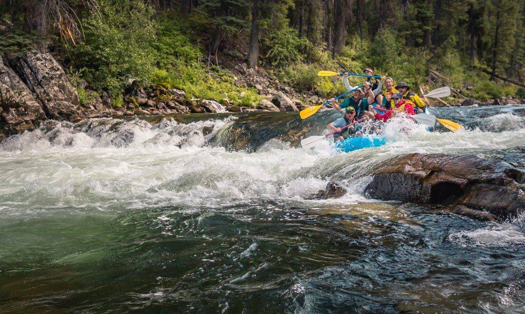 Rapid
I
Rapid
I
Unnamed Rapids 1
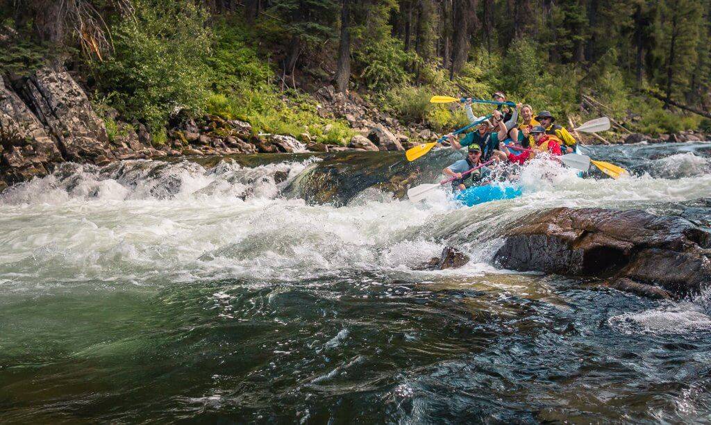 Rapid
II
Rapid
II
Unnamed Rapids 2
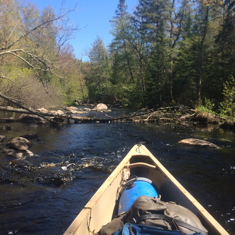 Rapid
II
Rapid
II
Unnamed Rapids 3
 Rapid
Rapid
Very Large Beaver Dam
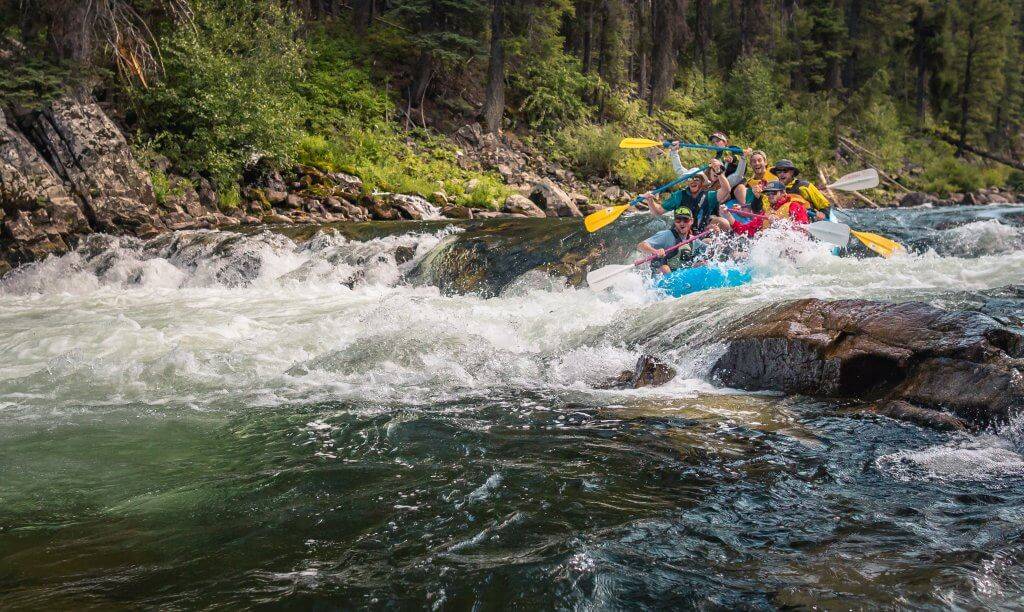 Rapid
II
Rapid
II
Unnamed Rapids 4
 Rapid
II
Rapid
II
Unnamed Rapids 5
 Rapid
II+
Rapid
II+
Unnamed Rapids 6
 Rapid
Rapid
Hwy 139 Bridge
 Rapid
I
Rapid
I
Castor Rapids
Rapid
II
Camp Dock Rapids
 Rapid
II
Rapid
II
Deerhead Rapids
 Rapid
Rapid
Old Podunk Dam Site
 Rapid
II
Rapid
II
Cedar Rapids
 Rapid
II
Rapid
II
NT Rapids
Hazards & Portages (6)
Caution: The following locations may require scouting or portaging. Always check current conditions.
Difficulty
Class I-II
Length
19.2 mi
Gradient
7 ft/mi
max 10
Rapids
15
6 Hazards
Access Points
Shuttle Info
For the Newald Tower Rd. to Twin River Rd section head west on Newald Tower Rd.(FS2159), then right on Newald Rd.(FS2162), then right on Twin River Rd.(FS2398)
For the Hwy 139 to Twin River Rd. section head north anr around the sharp bend on Twin River Rd.(FS2398), then left on Morgan Lake Rd (FS2161), the parking lot is on the left just before Hwy 139
For the MacArthur Pine Rd. to Old 139 section whether you take the north route or tthe south route the distance is virtually the same (10.25-10.5 miles). The south route goes through the village of Newald but the road condition may be more challenging in early spring shuttles. For the north route take Old 139, then left on Long Lake Rd (FS2166), then left on MacArthur Pine Rd (FS2167). For the south route take Old 139 to Hwy 139, then right on Double Bend Rd (FS2166), then right on MacArthur Pine Rd (FS2167).
Difficulty Classes
I Easy
II Novice
III Intermediate
IV Advanced
V Expert/Extreme
VI Unrunnable
Current Conditions
5-Day Forecast
Whitewater data from
American Whitewater
American Whitewater