Burnt Dam Rapids
Save this feature with the run it belongs to.
Gauge Conditions
Runnable: ? – ? CFS
Approximate - nearest available gauge. Use as general reference only.
Data from American Whitewater & USGS
Photo
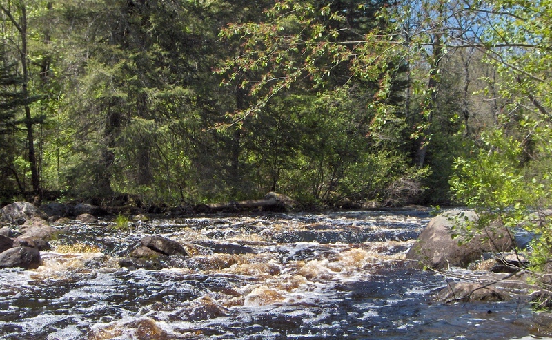
Photo courtesy of American Whitewater
Description
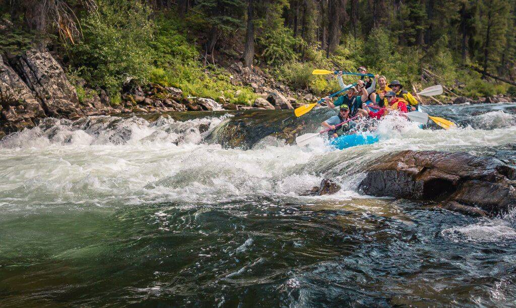
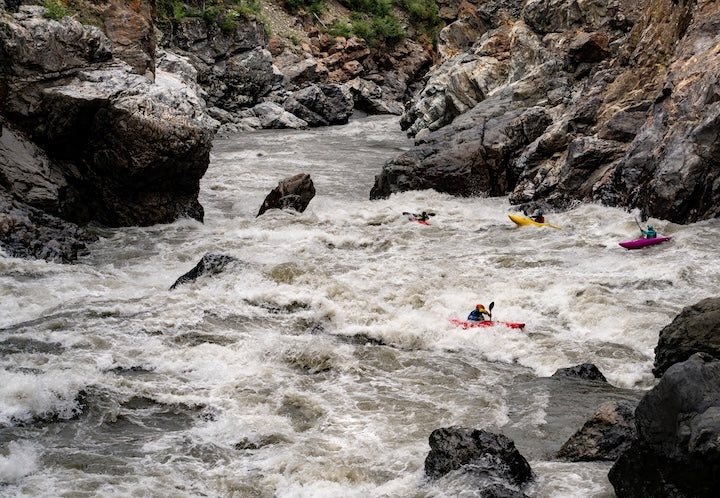
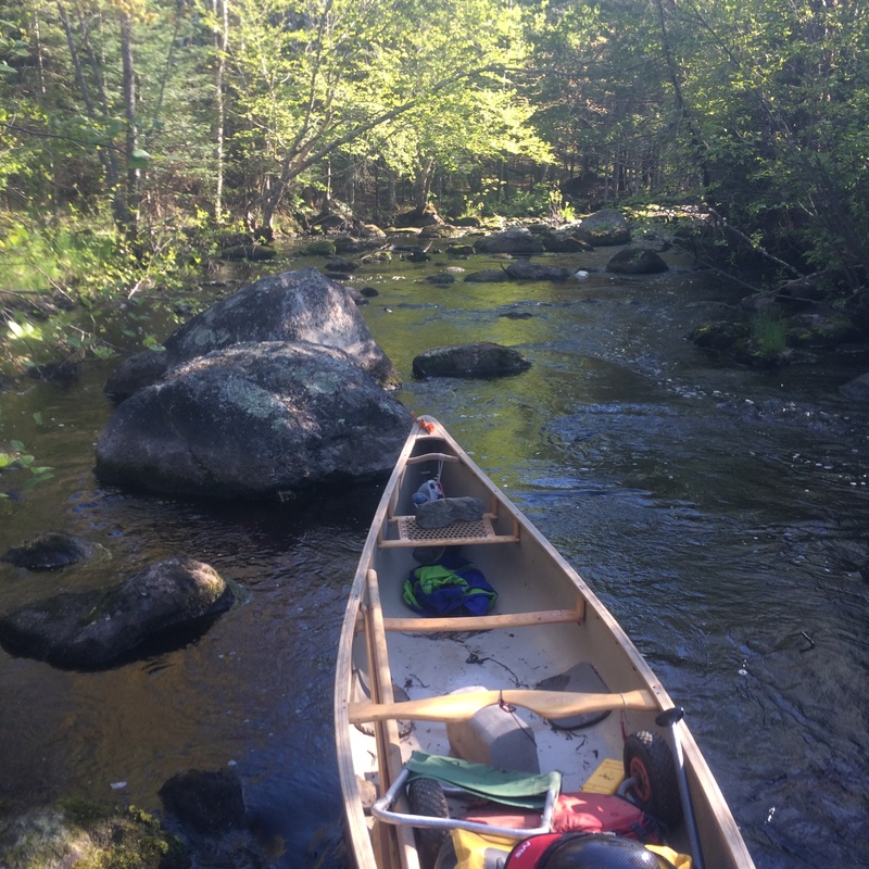
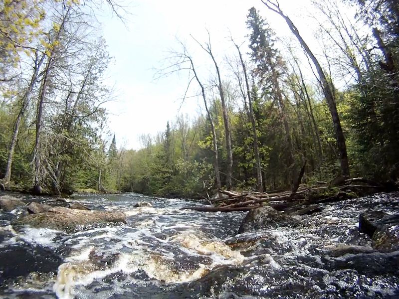
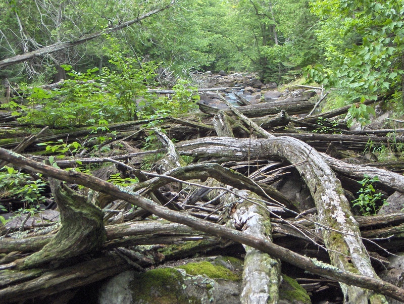
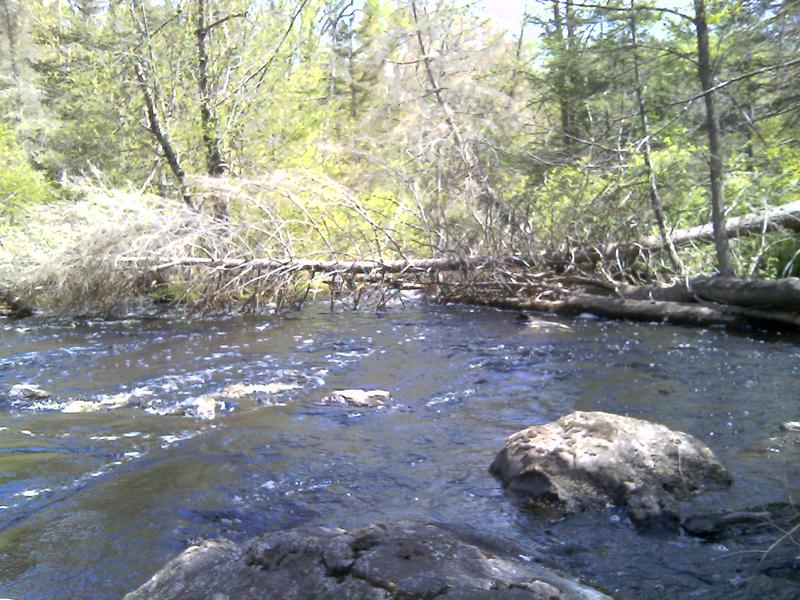
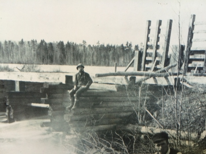
Rapids are a long, tight stretch (2,138 feet) of 8 separate rocky runs. Between the 4th and 5th run the river has been blocked by deadfalls for several years. Portage around the blockage is on the right, without trail, and is wading, and picking your way through a slightly flowing swamp/rocky land area.
Location
Interactive river map
Loads as you approach this section.
Other Rapids on This Run (20)
Rapid
N/A
Drainage area: ~36.8 sq.mi.
 Rapid
I
Rapid
I
Unnamed Rapids 1
 Rapid
II
Rapid
II
Unnamed Rapids 2
 Rapid
II
Rapid
II
Unnamed Rapids 3
 Rapid
N/A
Rapid
N/A
Very Large Beaver Dam
 Rapid
II
Rapid
II
Unnamed Rapids 4
 Rapid
II
Rapid
II
Unnamed Rapids 5
 Rapid
II+
Rapid
II+
Unnamed Rapids 6
 Hazard
N/A
Hazard
N/A
Old Hwy 139 (Recommended Takeout!)
 Hazard
N/A
Hazard
N/A
Start of barely penetrable Alder thicket
 Rapid
N/A
Rapid
N/A
Hwy 139 Bridge
Rapid
N/A
Landing (on left just after Hwy 139)
 Rapid
I
Rapid
I
Castor Rapids
Rapid
II
Camp Dock Rapids
 Rapid
II
Rapid
II
Deerhead Rapids
 Hazard
II+
Hazard
II+
McDougal Rapids
 Hazard
N/A
Hazard
N/A
Permanent Log Pile in McDougal Rapids
 Rapid
N/A
Rapid
N/A
Twin Rivers Rd. Landing
 Hazard
N/A
Hazard
N/A
Log Pile Across Burnt Dam Rapids
 Rapid
N/A
Rapid
N/A
Old Podunk Dam Site
View Full Run
A) MacArthur Pine Rd to Newald Tower Rd. (21.2 miles)
Popple
I-II
19.2 mi
Hazard — Exercise extreme caution in this area.
Current Conditions
5-Day Forecast
Whitewater data from
American Whitewater
American Whitewater