A) Wolf River Road to Wall Street (Big Falls) (7.4 miles)
No sufficiently local live gauge linked. 1 automated match was excluded because locality could not be verified. Difficulty and route details are not current water conditions.
Run Map
Run Time Estimate
Select put-in and take-out to estimate time.
Plan This Trip
See wind-adjusted speed maps, forecast planning, and detailed time estimates.
Sign in to generate an AI timing estimate for this run.
Whitewater timing varies with scouting, portages, and group pace. Use as a planning baseline.
Description
NOTE: the USGS gauge for the Little Wolf went unfunded June, 2020. (We have left our virtual gauge intact just in case the gauge would be reactivated. Oddly, it continues to show the final reading from before the gauge was disabled!) Click here for the NOAA gauge: .
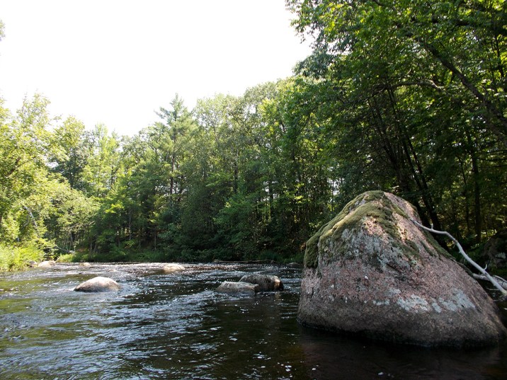
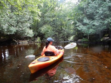
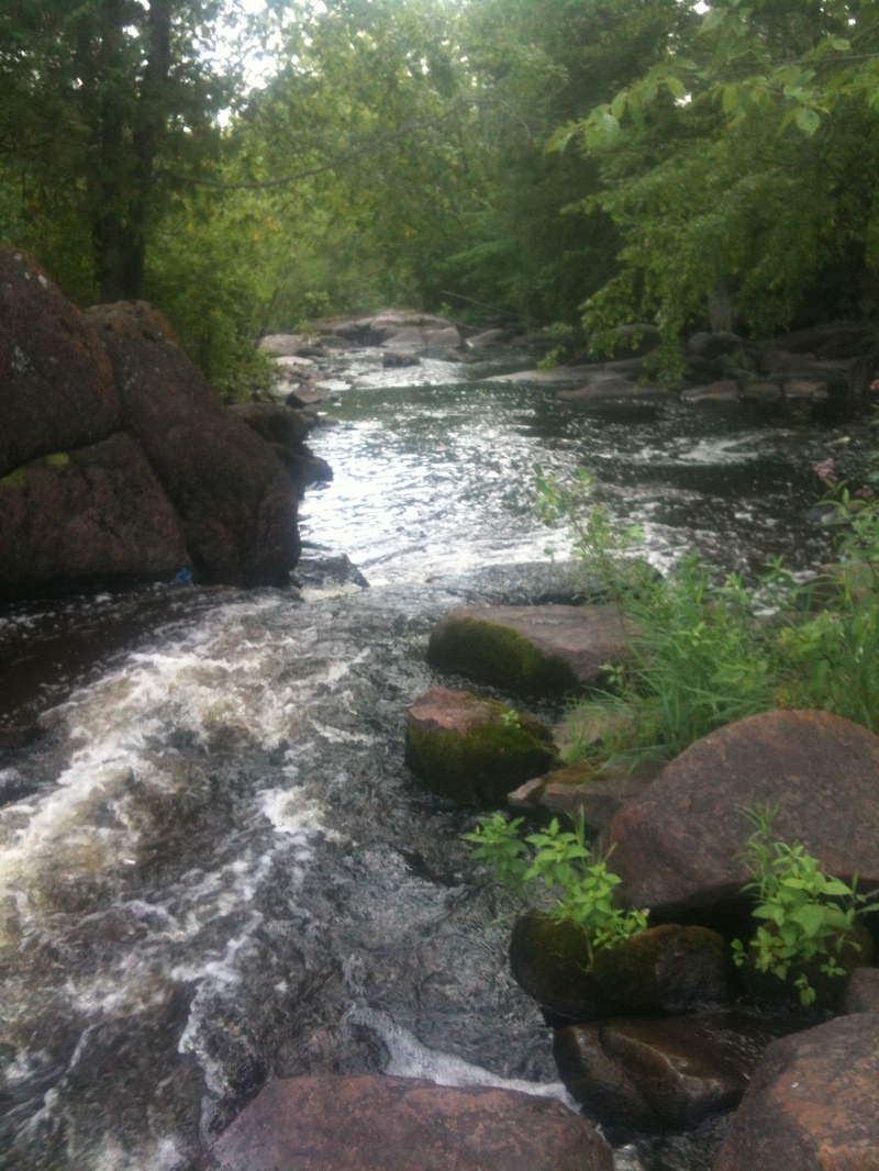
The reach as shown is the 'traditional' Little Wolf run. While this is certainly scenic, it does include a fair amount of flat/moving water paddling.
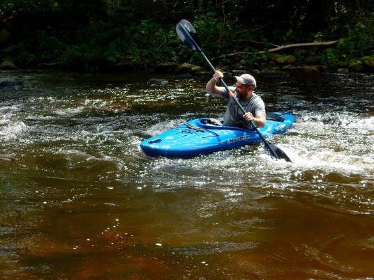
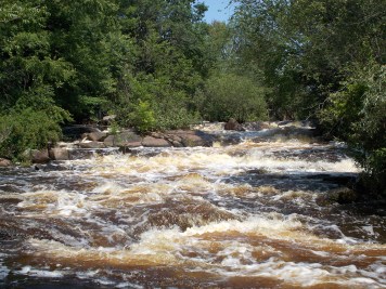
The reach begins with two miles of moving water interspersed with occasional low-grade rapids (class I-II), followed by nearly a mile and a half of fairly continuous class II whitewater, which makes the initial 2-mile access paddle a fair price to pay for the fun.
Those interested primarily in whitewater may wish to abbreviate the run (to just 3.55 miles) by taking out at Cty J.
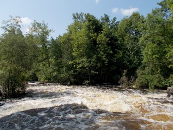
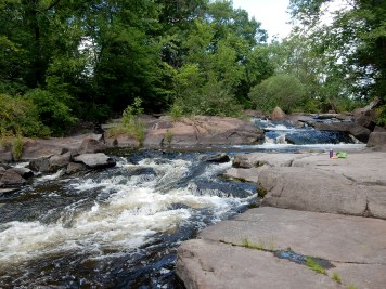
Below Cty J, the remaining four miles of this reach contains one rapids, the Little Wolf Dells (class II). Rather impressive (relative to the scenery of the rest of the run), the Dells may seem a bit intimidating, with some expectation of challenging rapids. In reality, it is not overly challenging. It has a split channel entrance of perhaps 50-60 yards (either side works but the left seems to carry more water) followed by a constriction between rock walls that can form some sizable waves, relative to flow. This dells is located just above the back-waters of the impoundment of Big Falls dam. Take-out after paddling across the impoundment (about a half mile) to a public boat ramp just above the dam.
The class IV (in the rating for this reach) refers to a 'bonus' rapid, Big Falls, which is just *downstream* of the dam. Most boaters will fantasize lines, but be content to secure their boats for another run elsewhere, as this river is often combined with other area runs (various options on the Embarass or the Red).
Rapids in this Run (12)
 Rapid
Rapid
Minor boulder garden
 Rapid
Rapid
Brief boulder narrowing
 Rapid
Rapid
Brief boulder garden
 Rapid
Rapid
minor boulder garden
 Rapid
Rapid
Slightly more significant rocky garden
 Rapid
Rapid
Rock dodge
 Rapid
Rapid
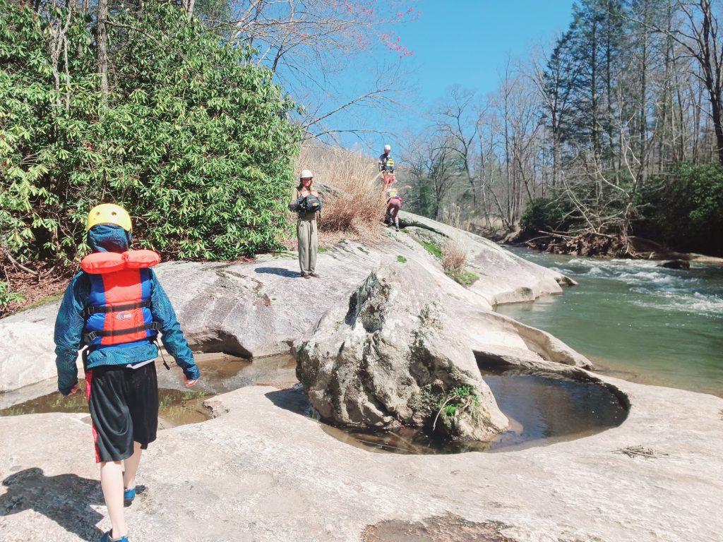
CTH.J Access/Parking
 Rapid
Rapid
Pine Rapids
 Rapid
Rapid
Possible rocky intrusion
 Rapid
Rapid
McNinch Road Rapids
 Rapid
II
Rapid
II
Little Wolf Dells
 Rapid
IV
Rapid
IV
Big Falls
Difficulty
Class II(IV)
Length
7.6 mi
Gradient
12 ft/mi
max 38
Rapids
12
Access Points
Difficulty Classes
I Easy
II Novice
III Intermediate
IV Advanced
V Expert/Extreme
VI Unrunnable
Current Conditions
5-Day Forecast
Whitewater data from
American Whitewater
American Whitewater