Rapid
WI
Pine Rapids
Save this feature with the run it belongs to.
No sufficiently local live gauge linked. 1 automated match was excluded because locality could not be verified. Use the parent run and local sources before making a trip decision.
Photo
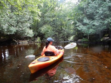
Photo courtesy of American Whitewater
Description
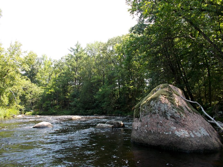
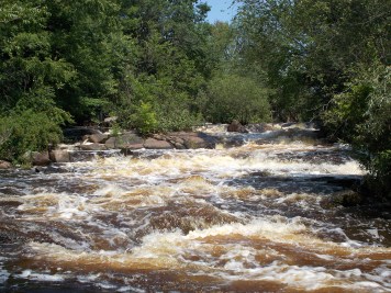
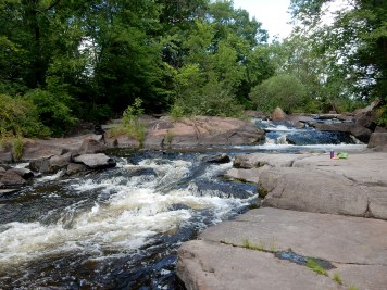
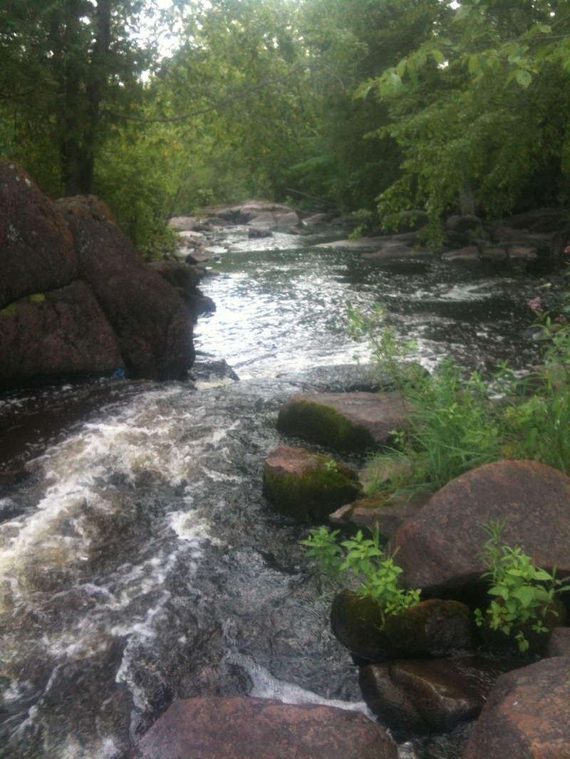
A road which comes up from the south toward the river is named Pine Rapids Road, so I gather this must be Pine Rapids. Probably barely ratable as a rapids, just some rocks to dodge. (In my experience, topo maps and other common usage often labeled as 'rapides' any area which might impair free and clear passage of trappers' and traders' fully laden voyager canoes. Thus, quite often, areas of shallows and shoals, or a good peppering of rocks in the river, would be called a rapids, even if no gradient nor significant whitewater features are present.)
Location
Other Rapids on This Run (13)
 Rapid
N/A
Rapid
N/A
Put In
 Rapid
N/A
Rapid
N/A
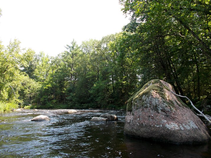
Minor boulder garden
 Rapid
N/A
Rapid
N/A
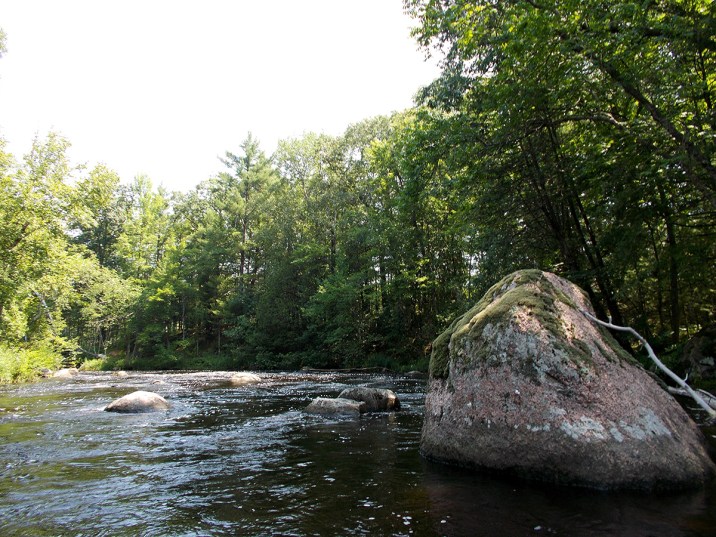
Brief boulder narrowing
 Rapid
N/A
Rapid
N/A
Brief boulder garden
 Rapid
N/A
Rapid
N/A
minor boulder garden
 Rapid
N/A
Rapid
N/A
Slightly more significant rocky garden
 Rapid
N/A
Rapid
N/A
Rock dodge
 Rapid
N/A
Rapid
N/A
CTH.J Access/Parking
 Rapid
N/A
Rapid
N/A
Possible rocky intrusion
 Rapid
N/A
Rapid
N/A
McNinch Road Rapids
 Rapid
II
Rapid
II
Little Wolf Dells
 Rapid
N/A
Rapid
N/A
Take Out
 Rapid
IV
Rapid
IV
Big Falls
View Full Run
A) Wolf River Road to Wall Street (Big Falls) (7.4 miles)
Little Wolf
II(IV)
7.6 mi
Current Conditions
5-Day Forecast
Whitewater data from
American Whitewater
American Whitewater