B) Jim Falls (Pnp or up to 1.1 mile)
Gauge Conditions
Runnable: ? – ? CFS
Approximate reading: This gauge is 7.0 miles away on Chippewa. Use as a general reference only.
Data from American Whitewater & USGS
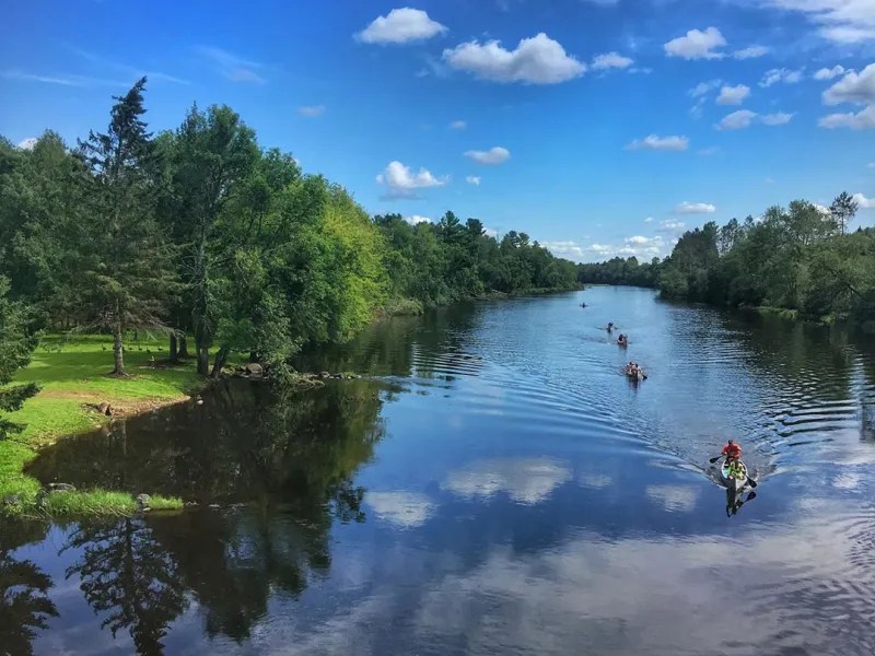
Run Map
Run Time Estimate
Select put-in and take-out to estimate time.
Plan This Trip
See wind-adjusted speed maps, forecast planning, and detailed time estimates.
Sign in to generate an AI timing estimate for this run.
Whitewater timing varies with scouting, portages, and group pace. Use as a planning baseline.
Description
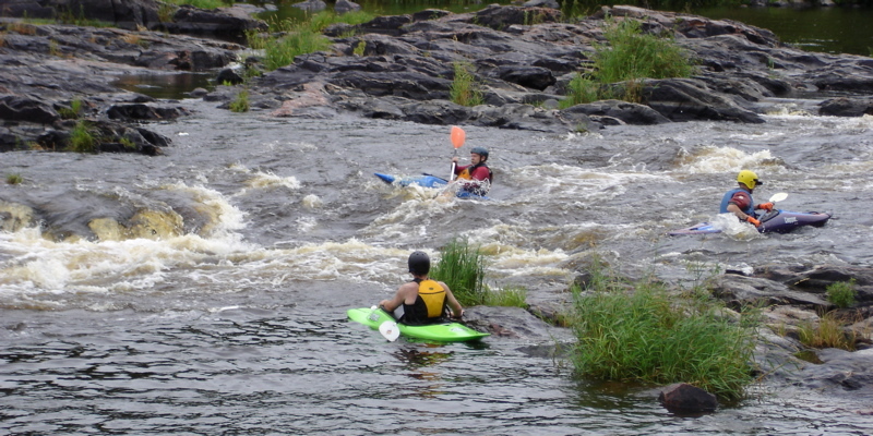
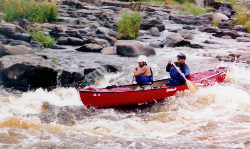
Located about 8 miles northwest of Chippewa Falls, at the junction of County Highway Y and Highway 178, this short reach of river is class II and class III pool-drop rapids, requiring intermediate to advanced skill level.
Releases into the original river channel (otherwise substantially dewatered between the dam and Xcel Energy's Jim Falls Hydro Plant) take place for two full months in spring (from April 1st to May 31st, for Sturgeon spawning) when this reach should run a constant 850 cfs, while summer releases (three weekends annually in July and August) will be 650 cfs.
Some boaters will put in by the dam to have a little "warm-up" before the main action. However, this upper portion of the reach contains little more than rocks and current, so most paddlers will prefer to put-in at an old bridge midway down the channel where the first real rapids start.
Below the bridge, a mix of rocks and chutes provide a few spots for minor play. There are plenty of 'stealth rocks' (both in the flow and in some eddies) just to keep you on your guard. Reportedly, the summer release flows are somewhat 'thin', so best play may be at the spring levels, when more of these rocks may be more covered.
Please be sure to sign in at the put-in location and include any comments you might have. These sheets will be used to evaluate participation and help make informed decision regarding future flow releases.
Access:
The put-in location is Old Abe Wayside Park on State Highway 178 on the west side of the river about a half-mile upstream of the County Y bridge. An access trail leads from the parking area to the water. The take-out site is located approximately 250 yards downstream from the County Y bridge on the east side of the river. The take-out point provides for the easy removal of boats from the river, and includes a foot trail to a parking area on Xcel Energy property.
A restroom is located immediately upstream of the main spillway section of the dam at the boat landing along State Highway 178 about one-quarter mile north of the put-in location. Another restroom is located at a convenience store in the town of Jim Falls, about one-quarter mile from the take-out site.
History and Additional Information:
During the 1990s and early-2000s, Xcel Energy underwent federal relicensing to obtain 30-year operating licenses of three hydro projects on the Lower Chippewa River: Holcombe, Wissota and Dells. As part of the relicensing, Xcel Energy cooperated with federal and state environmental resource agencies (including National Park Service Rivers and Trails Conservation Assistance Program), local governments, homeowners associations, hunting and fishing groups, local paddlers, and an environmental group, to arrive at new operating parameters for all six of the Lower Chippewa River hydro projects owned by Xcel Energy. Primary issues of concern included recreation, fish and wildlife habitat, flow coordination, and water quality. A settlement agreement was filed in January of 2001 with the Federal Energy Regulatory Commission (FERC), and new operating licenses were issued on Dec. 31, 2002. The whitewater flow release plan at the Jim Falls Hydro Project was agreed to in the settlement agreement as a means of providing additional recreational opportunities. The plan was amended in 2016 to include three additional whitewater releases. The releases remain an annual operating requirement of the Jim Falls Hydro Project.
For additional information, contact Joe Wawrzaszek at Spring Street Sports, Chippewa Falls: 715.723.6616 or by e-mail at sss@charter.net.
Although it has not been updated in recent years, you can check out the Jim Falls Blogspot some great photos, and other area info.
A fine "companion piece" may be the Big Falls of the Eau Claire, which lies just about 15 miles due south of Jim Falls, and about 9 miles due east of Eau Claire, WI.
Difficulty
Class II-III
Length
1.1 mi
Gradient
30 ft/mi
Rapids
11
Access Points
Shuttle Info
Shuttle will generally be by foot, carrying back up to your car.
Use the options below to get directions to this reach from your starting location.
Difficulty Classes
I Easy
II Novice
III Intermediate
IV Advanced
V Expert/Extreme
VI Unrunnable
Current Conditions
5-Day Forecast
Whitewater data from
American Whitewater
American Whitewater