Put-In Parking - "Old Abe" Wayside
Save this feature with the run it belongs to.
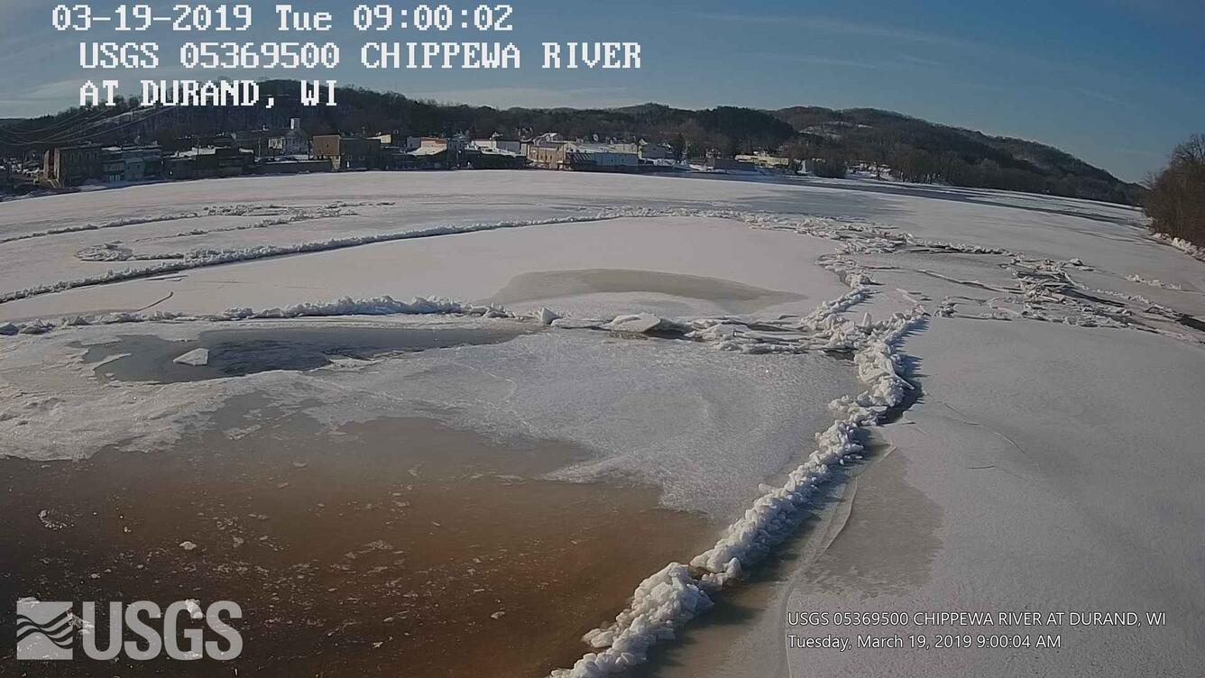
Gauge Conditions
Approximate - nearest available gauge. Use as general reference only.
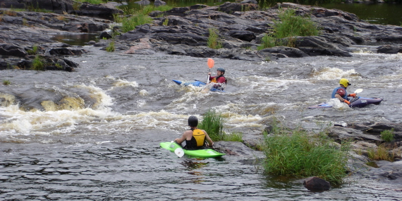
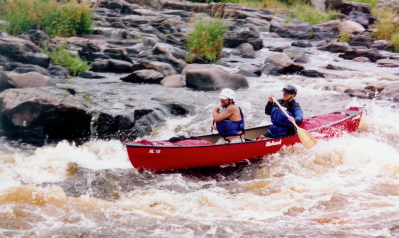
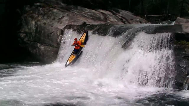
Photo
Description
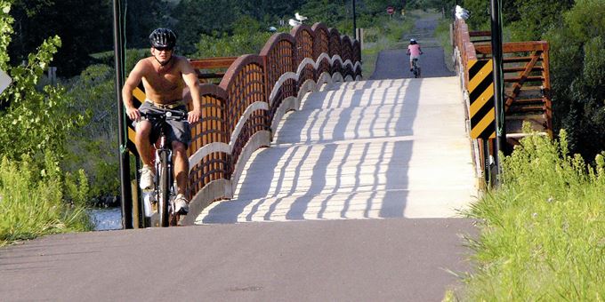
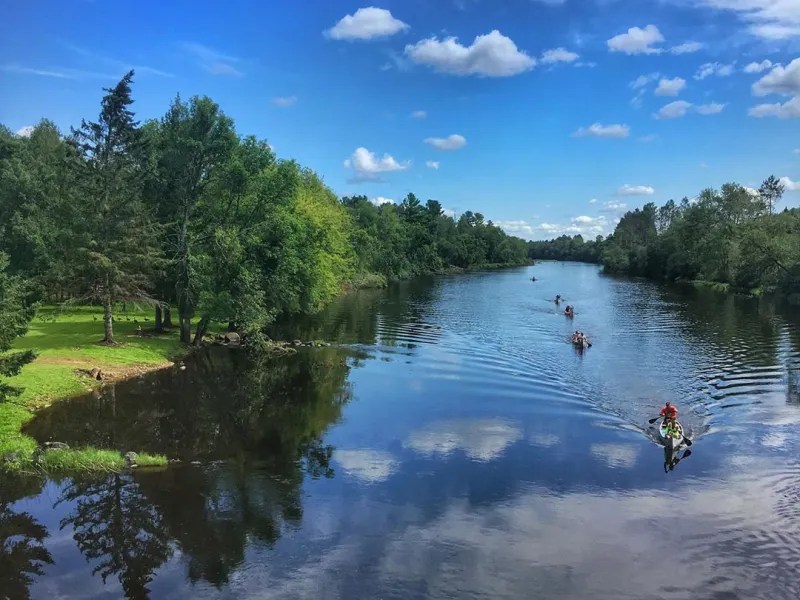
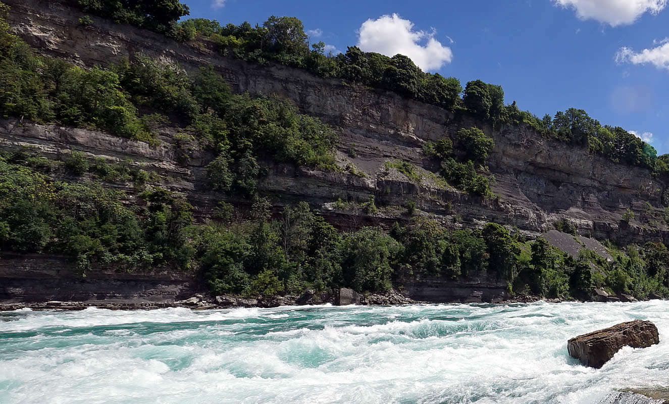
The usual Put-in parking lot when group shuttling. Follow the trail down to the river.
Glenn Felske provided (2004-11-22):
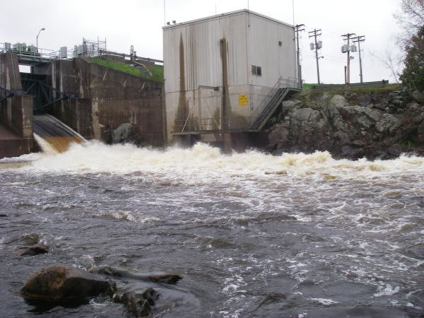
A better put in spot is 500 feet north on 178 past the old bridge. A historical marker and picnic area provides a parking lot and easy access to the river. The river is very shallow and a short walk up river is required during normal level. This put in allows you to get lined up on the river left chute below the bridge. This is a narrow chute that starts with a left turn into a gradual slope downstream. During normal levels, there are 2 rocks at the end of the chute. A hard right is required, although I have managed to canoe through them.
Those using this parking/access should stop at the sign-in location to show that you're using this resource in order to continue recreational releases for the future.
Location
Other Rapids on This Run (12)
 Rapid
N/A
Rapid
N/A
 Rapid
N/A
Rapid
N/A
 Rapid
N/A
Rapid
N/A
 Rapid
N/A
Rapid
N/A
 Rapid
N/A
Rapid
N/A
 Rapid
N/A
Rapid
N/A
 Rapid
N/A
Rapid
N/A
 Rapid
N/A
Rapid
N/A
 Rapid
N/A
Rapid
N/A
Current Conditions
5-Day Forecast
American Whitewater