Below Goose Lake to powerlines below Co.Rd.Fw (up to 9.34 miles) Scenic
Gauge Conditions
Runnable: ? – ? CFS
Approximate reading: This gauge is 4.8 miles away on Black (M.Br.Escanaba trib). Use as a general reference only.
Data from American Whitewater & USGS
Run Map
Put-in
Take-out
Rapids/Hazards
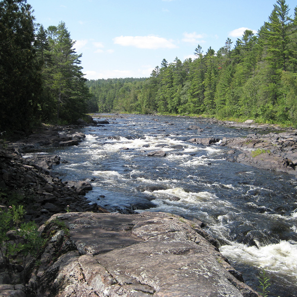
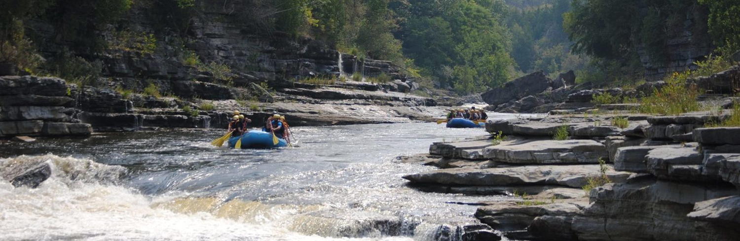
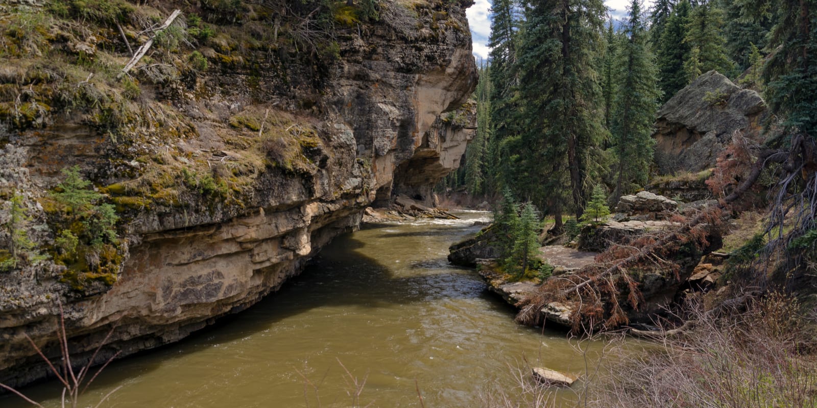
Scenic
Run Time Estimate
Select put-in and take-out to estimate time.
Plan This Trip
See wind-adjusted speed maps, forecast planning, and detailed time estimates.
Sign in to generate an AI timing estimate for this run.
Whitewater timing varies with scouting, portages, and group pace. Use as a planning baseline.
Description
OK, this is extremely small, has rather low gradient and a lot of flatwater, and is nestled between two other good-sized rivers (Michigamme to the South, M.Br.Escanaba to the North). Drainage at the uppermost access (our listed put-in) is only about 6 square miles. Additional access points exist, and may be desirable if it is too small (and insufficient flow) at the uppermost put-in. So . . . not likely to make anyone's 'must do' list. However, there are some rather interesting stretches of rapids . . . and . . . well downstream of our listed section, a named falls worth looking at. (We have included it on the map and features list.)
So, again, probably not likely to be run (unless everything in the area is in flood). But, hey, it could happen!
Rapids in this Run (21)
 Rapid
II
Rapid
II
Rocky Rips
 Rapid
II
Rapid
II
Brief Rips
Rapid
II
Republic-Champion Grade Trail
 Rapid
Rapid
M95 Bridge
Rapid
Rocky Rips
Rapid
II
Rocky Rips
 Rapid
II+
Rapid
II+
Long Narrows
 Rapid
Rapid
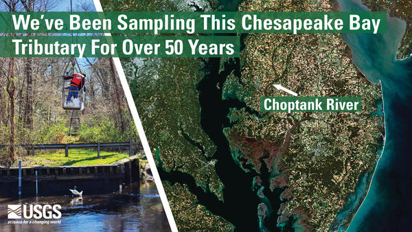
USGS sampling site
 Rapid
I
Rapid
I
LS&I
 Rapid
Rapid
Co.Rd.Ffk
 Rapid
Rapid
Greenwood Reservoir Road
Rapid
USGS sampling site
Rapid
Brief Rips
 Rapid
I
Rapid
I
Rips
 Rapid
Rapid
Private footbridge
 Rapid
Rapid
Islands/rips
 Rapid
Rapid
Wave and rips
 Rapid
Rapid
Co.Rd.Ffw
Rapid
USGS sampling site
 Rapid
V
Rapid
V
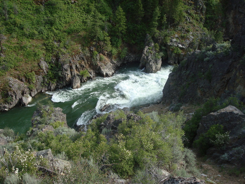
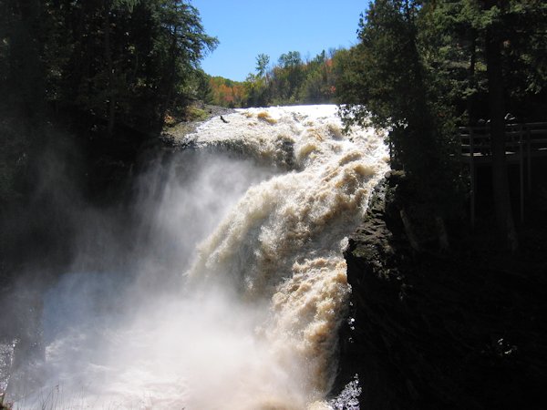
Black River Falls
Rapid
USGS sampling site
Hazards & Portages (1)
Caution: The following locations may require scouting or portaging. Always check current conditions.
Difficulty
Class I-II(III)
Length
8.2 mi
Gradient
13 ft/mi
max 37
Rapids
21
1 Hazard
Access Points
Shuttle Info
The (Google default) shuttle directions below, rather interestingly, seem to take you down a private driveway which appears to have a 'County Road' designation! We would assume it would be necessary to seek/obtain permission to park here, or drive in (on paths which are visible on the satellite views) to the end of the final rapids under the powerlines. In general, we would likely opt instead to check for parking along Co.Rd.Fw near where the powerlines cross, and walk out the powerline right-of-way --or-- just take out at the road bridge (skipping the final stretch of the rapids, since it is likely not that impressive, anyway).
This shuttle is somewhere near a half-hour (each way). We highly recommend meeting at take-out, gearing up, swapping boats and boaters to as few vehicles as possible (to leave 'drop vehicles' there), then driving to put-in to run river. This gets you on water without the delay which would result from meeting at put-in, having to run shuttle down and back up (while some boaters wait somewhere near a full hour) before putting on river!
Difficulty Classes
I Easy
II Novice
III Intermediate
IV Advanced
V Expert/Extreme
VI Unrunnable
Current Conditions
5-Day Forecast
Whitewater data from
American Whitewater
American Whitewater