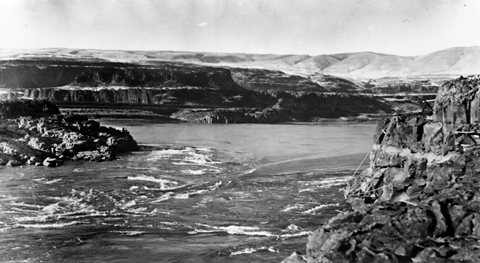
Co.Rd.601
Save this feature with the run it belongs to.
Gauge Conditions
Approximate - nearest available gauge. Use as general reference only.
Photo
Description
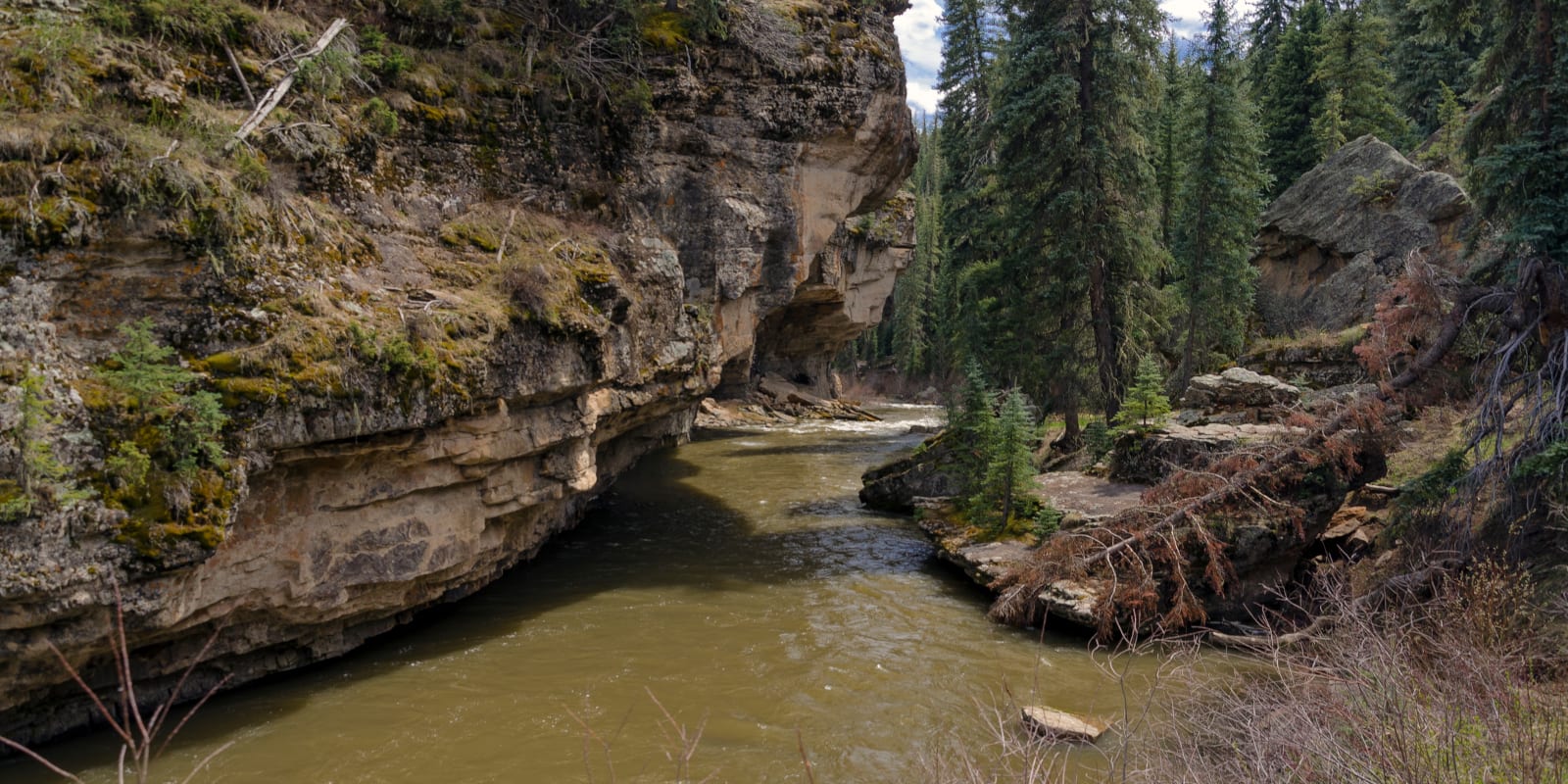
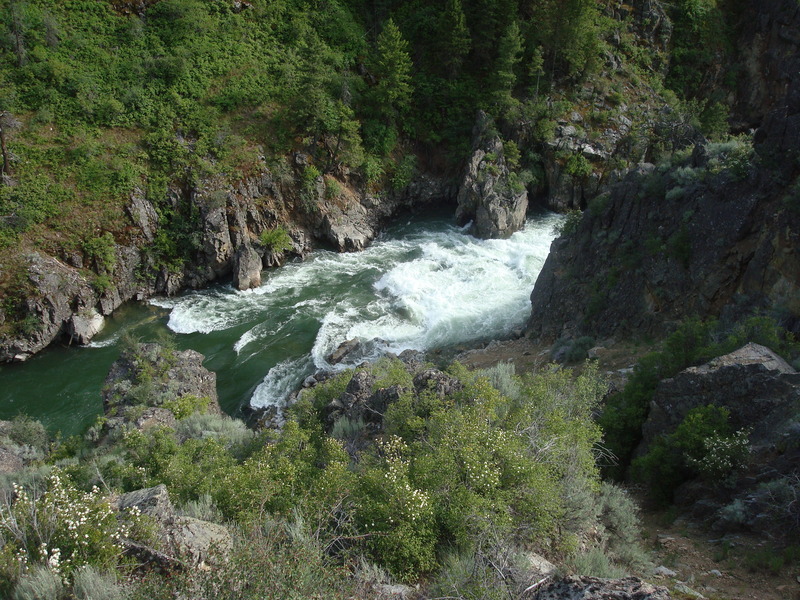
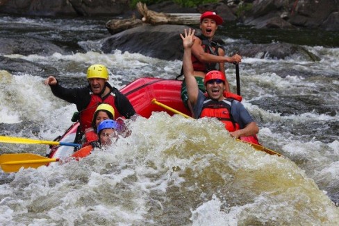
You should probably scout (before putting on) the place where Co.Rd.601 crosses, as there may not be adequate passage here. You'll want to know ahead of time what things look like, to be certain you will be either able to get through or able to safely get out to portage at this road, which crosses amid the aforementioned half-mile narrows. Additionally, just downstream, it appears there may be a private footbridge crossing the stream which you should check for adequate clearance. (You should be able to see it from the road.) This narrows/swifts continues a bit more than 0.1 mile downstream, but then peters out, and it's a good ways to the next rips, so *IF* this upper stretch is runnable, and you are looking for only the best gradient, this would be a good place to end your trip.
Location
Other Rapids on This Run (20)
 Rapid
II
Rapid
II
 Rapid
N/A
Rapid
N/A
 Rapid
II
Rapid
II
 Rapid
N/A
Rapid
N/A
Rapid
II
Rapid
N/A
Rapid
N/A
Rapid
II
 Rapid
II+
Rapid
II+
 Rapid
N/A
Rapid
N/A
 Rapid
I
Rapid
I
 Rapid
N/A
Rapid
N/A
 Rapid
N/A
Rapid
N/A
Rapid
N/A
Rapid
N/A
Rapid
N/A
Rapid
N/A
 Rapid
I
Rapid
I
 Rapid
N/A
Rapid
N/A
 Rapid
N/A
Rapid
N/A
 Rapid
N/A
Rapid
N/A
 Rapid
N/A
Rapid
N/A
Rapid
N/A
Rapid
N/A
Current Conditions
5-Day Forecast
American Whitewater