Blodgett to Philomath
Gauge Conditions
Runnable: 500.0 – 900.0 CFS
Data from American Whitewater & USGS
Run Map
Run Time Estimate
Select put-in and take-out to estimate time.
Plan This Trip
See wind-adjusted speed maps, forecast planning, and detailed time estimates.
Sign in to generate an AI timing estimate for this run.
Whitewater timing varies with scouting, portages, and group pace. Use as a planning baseline.
Description
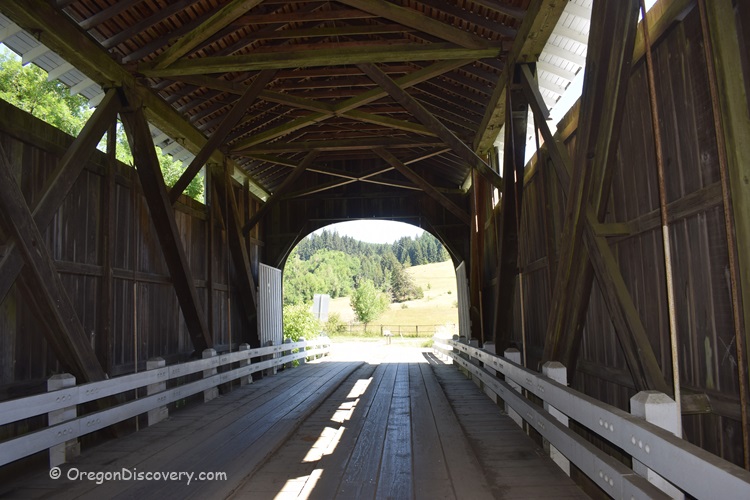
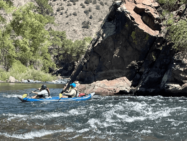
A coast range river that runs in the rainy season. Almost no significant whitewater except a blind drop just below the Harris Covered Bridge west of Wren and a blown-out weir at the end of Mustang Lane just west of Philomath between the US Highway 20 and Oregon Highway 34 bridges. There are a couple other class II- rapids along the way. Always be alert for wood; even though the gradient is low and the rapids are relatively tame, blind corners can hide log jams. Banks can be muddy, steep, and covered with blackberries making portage around log jams an experience in Type Two Fun.
Access is difficult for the upper stretches and usually involve dragging your boat down or up a muddy slope under a road bridge, usually with blackberries and/or poison oak. Such fun. There are slightly easier accesses along Harris Road. There is an easier access at Marys River Park in Philomath. There is an access with a long carry at Avery Park in Corvallis. There used to be an access at Pioneer Boat Basin near the confluence with the Willamette River, but the City of Corvallis has failed to maintain this access for so many years few people remember being able to paddle right up to the dock. The easiest take-out is a mile downstream on the Willamette at Aqua-enthusiast Park, locally known as Michael's Landing. A more difficult take-out can be had by paddling a half mile upstream to Willamette Park at the Crystal Lake Boat Ramp.
A description of the run is published in the Willamette Kayak & Canoe Club's guide, 'Soggy Sneakers' through the fifth (current) edition. In thFifth Edition, it is Run Number 95 on page 174. This description is from Wren to Philomath. The Second Edition had a description of the river above Wren up to Blodget. No description is published from Philomath to the confluence with the Willamette. Below Philomath there is no whitewater, but there can for sure be obstructions.
Difficulty
Class I-II
Length
20.0 mi
Gradient
5 ft/mi
max 20
Rapids
4
Access Points
Difficulty Classes
I Easy
II Novice
III Intermediate
IV Advanced
V Expert/Extreme
VI Unrunnable
Current Conditions
5-Day Forecast
Whitewater data from
American Whitewater
American Whitewater