How's Your
River
×
Explore
Explore Map
Water Bodies
Gauges
Access Sites
Tidal Stations
Whitewater
Pricing
Login
Sign Up
Hazard Warning:
Hazard information may be user-submitted and unverified. Conditions change frequently. Always scout rapids and obstacles yourself.
Whitewater
Oregon
Marys - Blodgett to Philomath
Wren Access, Hwy 20 Bridge
Rapid
OR
Wren Access, Hwy 20 Bridge
Marys - Blodgett to Philomath (OR)
Monitor this Rapid
Water Body
This Run
Map
Other Rapids
Gauge
Weather
Directions
Gauge Conditions
Marys River near Philomath, OR
Downstream
Primary
Runnable: 500.0 – 900.0 CFS
Data from
American Whitewater
&
USGS
Description
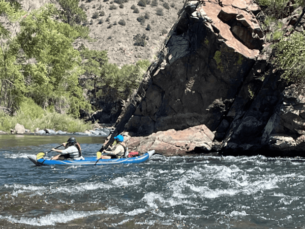
Access at the Highway 20 Bridge across the river.
Location
Radar
Counties
Cell
Verizon
AT&T
T-Mobile
Dark
Satellite
Terrain
Other Rapids on This Run (5)
Rapid
N/A
Harris Road Bridge Put In
0.0 mi
Rapid
N/A
Harris Road Covered Bridge Access
5.1 mi
Rapid
N/A
Kings Valley Hwy 223 Bridge Access
10.4 mi
Rapid
N/A
Alsea Highway 34 Bridge Access
18.7 mi
Rapid
N/A
Marys River Park Take Out
18.7 mi
Type
Rapid
Difficulty
Class N/A
Mile Marker
9.2 mi
Directions
Navigate
View Full Run
Blodgett to Philomath
Marys
I-II
20.0 mi
Current Conditions
5-Day Forecast
Whitewater data from
American Whitewater
Wren Access, Hwy 20 Bridge