C) below Saxon Falls to Hwy. 122 (3.1 miles)
Gauge Conditions
Runnable: ? – ? CFS
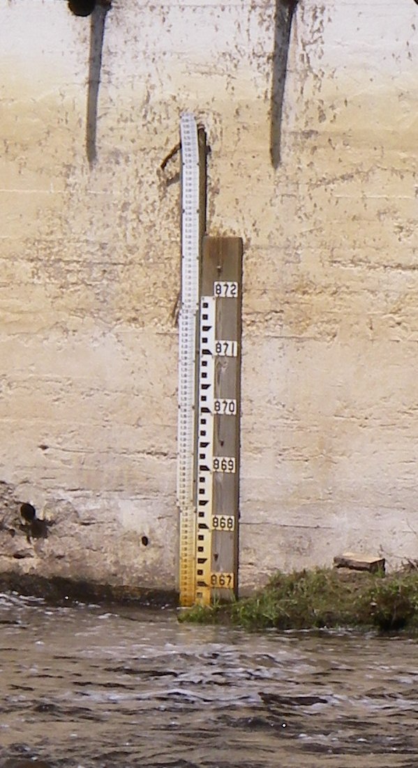
Approximate reading: This gauge is 19.5 miles away on Montreal. Use as a general reference only.
Data from American Whitewater & USGS
Run Map
Interactive run map
Loads as you approach this section.
Run Time Estimate
Select put-in and take-out to estimate time.
Plan This Trip
See wind-adjusted speed maps, forecast planning, and detailed time estimates.
Sign in to generate an AI timing estimate for this run.
Whitewater timing varies with scouting, portages, and group pace. Use as a planning baseline.
Description
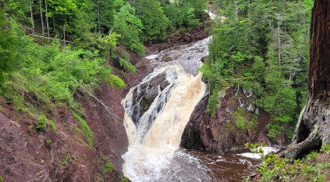
The scenic Canyon of the Montreal River is one of the best intermediate whitewater runs in the state. The season for this run starts in early spring but usually continues running for about a month or longer. It is high in early spring but eases down to water fun for intermediates towards the end of spring.
Ledges along nearly the entire length of this run create beautiful glassy waves for hours of playboating pleasure. Aside from a few troublesome holes that can form at higher flows, this run is rather constant in terms of difficulty. One important safety concern to be aware of is that once you are in the canyon and committed to the run it is impossible to get back out. Sheer rock cliffs of conglomerate and sandstone rise up to 200' on either side. This also makes it extremely difficult to mount a rescue in several spots. Although there are some gravel bars in the canyon, they start to disappear at higher water. At most flows, however, they provide a place for you to scout the river and pull swimmers to shore.
Entering the canyon requires descending a long stairway that takes you to the bottom of the canyon at the put-in. Use caution and be sure you have a firm grasp on your boat and wait for others to clear out of the way below you. An alternative method is to take about 250' of rope with you and belay your boat to the river off of a big tree at the top of the canyon. This method might be necessary if you have a particularly heavy boat or if you don't like climbing down stairs with a boat in your hand.
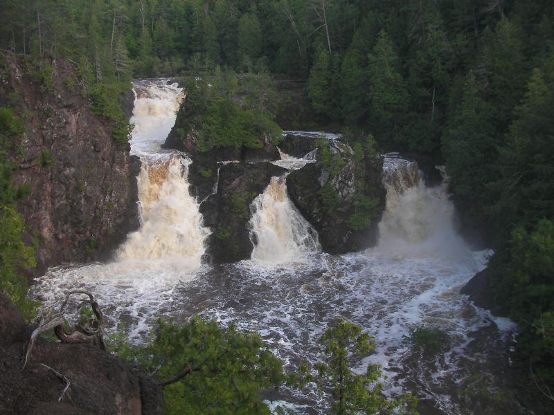
You can look up at Saxon Falls just upstream of the put-in. If you see three fingers of water coming over the drop the river will be pumping and rather pushy, but at a great level for play boating.
There aren't many drops on this run, just a bunch of continuous class III rapids, most of which mellow out to class II at lower flow. A sheer wall on river left where the river makes a hard turn to the right is the Cathedral. A hole forms here that can be real trouble for intermediates, but great fun for aggressive experts looking for a good trashing.
Once you exit the canyon you reach a gravel bar. You may have to drag your boat if the water is low. At higher flows this will be a nice stretch of continuous class II. As the river spreads out, the current slows and you will soon reach the takeout bridge. You will find a good landing spot on the river left upstream side of the Hwy. 122 bridge.
Below this bridge the river enters a very steep canyon containing class V-VI whitewater ending with Superior Falls. The falls has been run but its a rowdy approach to the 55' drop. You can get a good look at it by driving along the river right shore of the river to a trail which gives you a good view of the falls and a glimpse of entry.
Logistics: The put-in is at the Saxon Falls Powerplant, down Saxon Falls Power House Rd. off of Co. Hwy. B. Continue north towards the river at the point where Co. Hwy. B makes a 90 degree turn to the west. The take-out is at the Highway 122 bridge across the Montreal River. Upstream river left.
Click here for Part 1 of an article from the AW Journal, way back in 1981!
Click here for Part 2 of the article.
The article describes the following: Michigan's, Upper Presque Isle, Lower Presque Isle, Middle Black, Lower Black, Upper Silver, Lower Silver, Falls, and Rock; and Wisconsin's Lower Brunsweiler, Montreal Canyon, and West Branch Montreal.
Rapids in this Run (1)
Waterfalls (2)
Difficulty
Class II-III
Length
3.1 mi
Gradient
54 ft/mi
max 107
Rapids
1
Access Points
Difficulty Classes
I Easy
II Novice
III Intermediate
IV Advanced
V Expert/Extreme
VI Unrunnable
Current Conditions
5-Day Forecast
Whitewater data from
American Whitewater
American Whitewater