Waterfall
WI
Saxon Falls
Save this feature with the run it belongs to.
Gauge Conditions
Runnable: ? – ? CFS
Approximate - nearest available gauge. Use as general reference only.
Data from American Whitewater & USGS
Photo
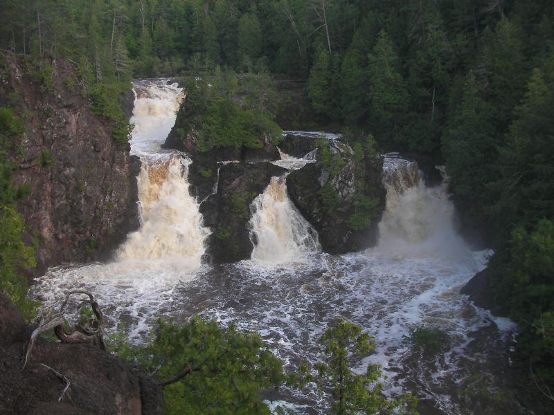
Photo courtesy of American Whitewater
Description
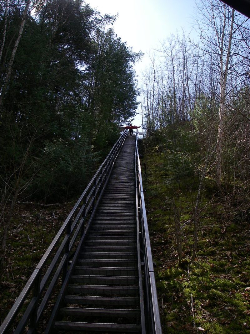
This is upstream of the listed put-in. Once you descend the long steep staircase to the river, you can look upstream to see this awesome falls. However, you will not be seeing it from this perspective (photo is from a high angle on the opposite shore). The first known descent of Saxon Falls took place on April 23rd, 2007 by Tao Berman, Josh Bechtel, and Eric Boomer.
Location
Interactive river map
Loads as you approach this section.
Other Rapids on This Run (4)
View Full Run
C) below Saxon Falls to Hwy. 122 (3.1 miles)
Montreal
II-III
3.1 mi
Current Conditions
5-Day Forecast
Whitewater data from
American Whitewater
American Whitewater