C) Hollister Rd to Langlade (Hwy 64) (8 miles)
Gauge Conditions
Runnable: 250.0 – 3,000.0 CFS
Low-to-moderate boatable flow.
Data from American Whitewater & USGS
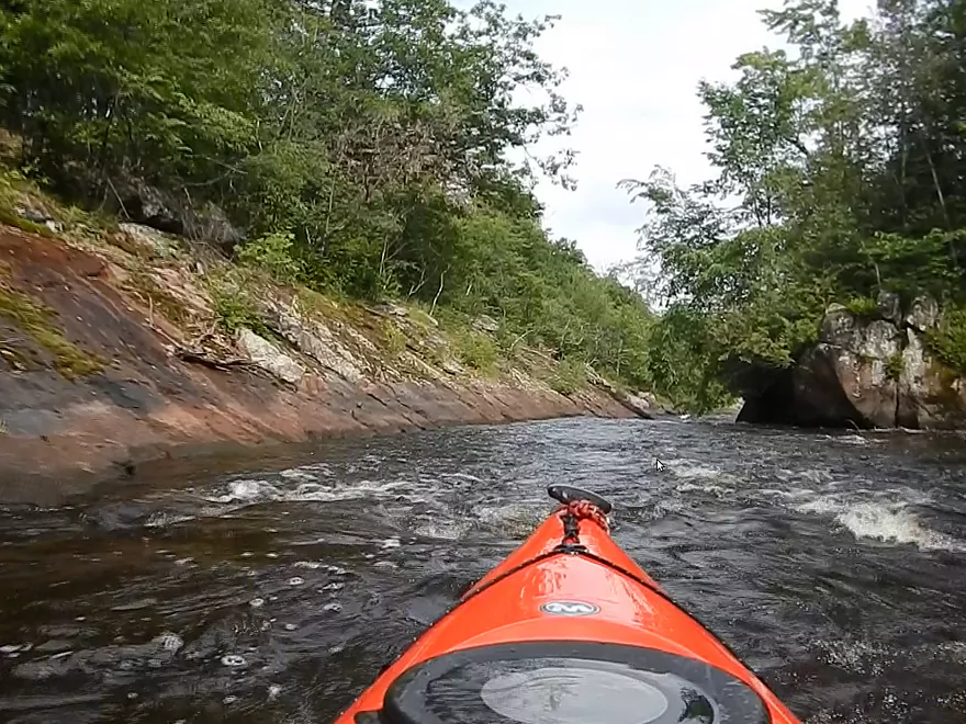
Run Map
Run Time Estimate
Select put-in and take-out to estimate time.
Plan This Trip
See wind-adjusted speed maps, forecast planning, and detailed time estimates.
Sign in to generate an AI timing estimate for this run.
Whitewater timing varies with scouting, portages, and group pace. Use as a planning baseline.
Description
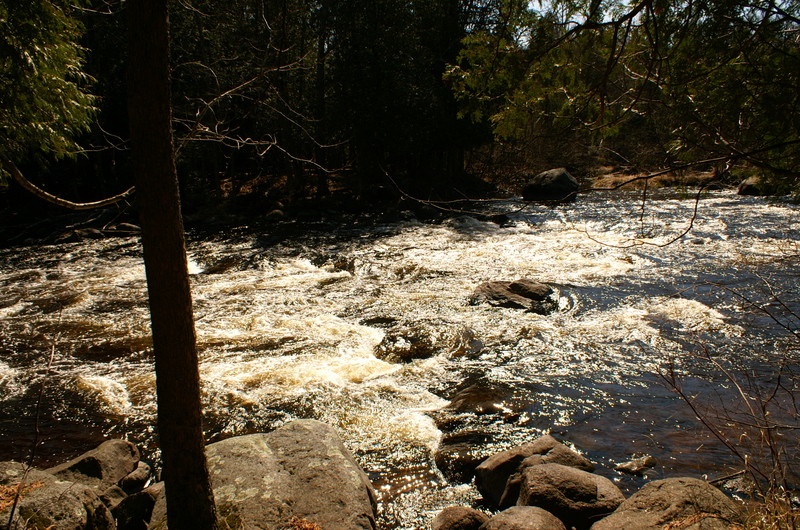
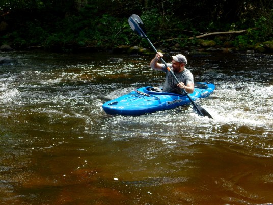
This 8-mile stretch (commonly know as _'Section II of the Wolf'_) is often paddled by beginners because it offers a variety of Class I and II rapids with good surfing waves and countless eddies.
Put in at Hollister Road, at the top of _Burnt Point Rapids_. After this Class II rock-garden there is about 2.5 miles of flatwater to reach a succession of three Class II rapids: _Oxbow_, _Cedar_ and _Hemlock_. The last of these is the shortest but offers the biggest challenge of the three with its higher gradient.
Another two miles of flatwater follows, which passes _Irrigation Ditch_. Boaters commonly run from _'the Ditch' down to Langlade ('Short II')_, as the shuttle is easy and the trip down this 3-mile section is less than two hours. (Use coordinates _45.21325 -88.75814_ for directions to Irrigation Ditch.)
Three rapids follow on this section, with the second ( _Sherry Rapid_) being by far the most difficult on the entire stretch.
Take out on river right just past the Langlade Bridge. Wisconsin DNR maintains the public access, complete with outhouses and a large parking area.
_'Paddling Northern Wisconsin,'_ by Mike Svob/Wisconsin Trails Press provides another fine reference for this (and many others) stretch of river.

Difficulty
Class I-II
Length
8.2 mi
Gradient
15 ft/mi
max 26
Rapids
8
Access Points
Difficulty Classes
I Easy
II Novice
III Intermediate
IV Advanced
V Expert/Extreme
VI Unrunnable
Current Conditions
5-Day Forecast
Whitewater data from
American Whitewater
American Whitewater