Sherry Rapids
Save this feature with the run it belongs to.
Gauge Conditions
Runnable: 250.0 – 3,000.0 CFS
Low-to-moderate boatable flow.
Data from American Whitewater & USGS
Photo
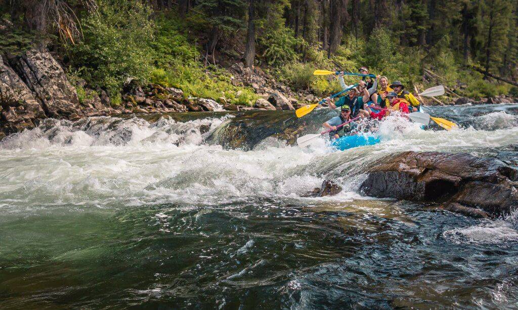
Photo courtesy of American Whitewater
Description
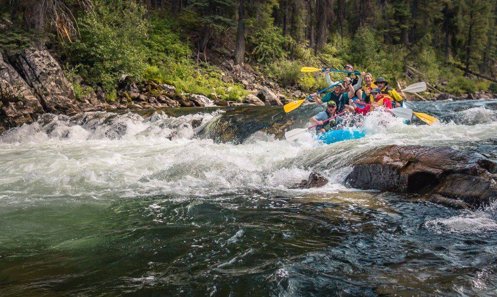
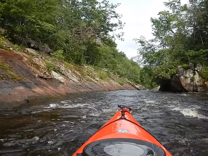
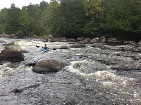
Sherry Rapids presents a continuous Class II challenge with multiple small ledges and rock gardens that require precise boat positioning and strategic maneuvering. Paddlers should be prepared to navigate a series of moderate waves and potential hydraulic features, with the primary line running center-right to avoid isolated mid-stream boulders and maintain momentum through the rapid's most technical sections. Competent boat control and the ability to quickly read and react to changing water conditions are essential for a clean descent.
Location
Interactive river map
Loads as you approach this section.
View Full Run
C) Hollister Rd to Langlade (Hwy 64) (8 miles)
Wolf
I-II
8.2 mi
Current Conditions
5-Day Forecast
Whitewater data from
American Whitewater
American Whitewater