Camp Creek State Forest to Bluestone River
Gauge Conditions
Runnable: 6.0 – 10.0 FT
Data from American Whitewater & USGS
Run Map
Run Time Estimate
Select put-in and take-out to estimate time.
Plan This Trip
See wind-adjusted speed maps, forecast planning, and detailed time estimates.
Sign in to generate an AI timing estimate for this run.
Whitewater timing varies with scouting, portages, and group pace. Use as a planning baseline.
Description
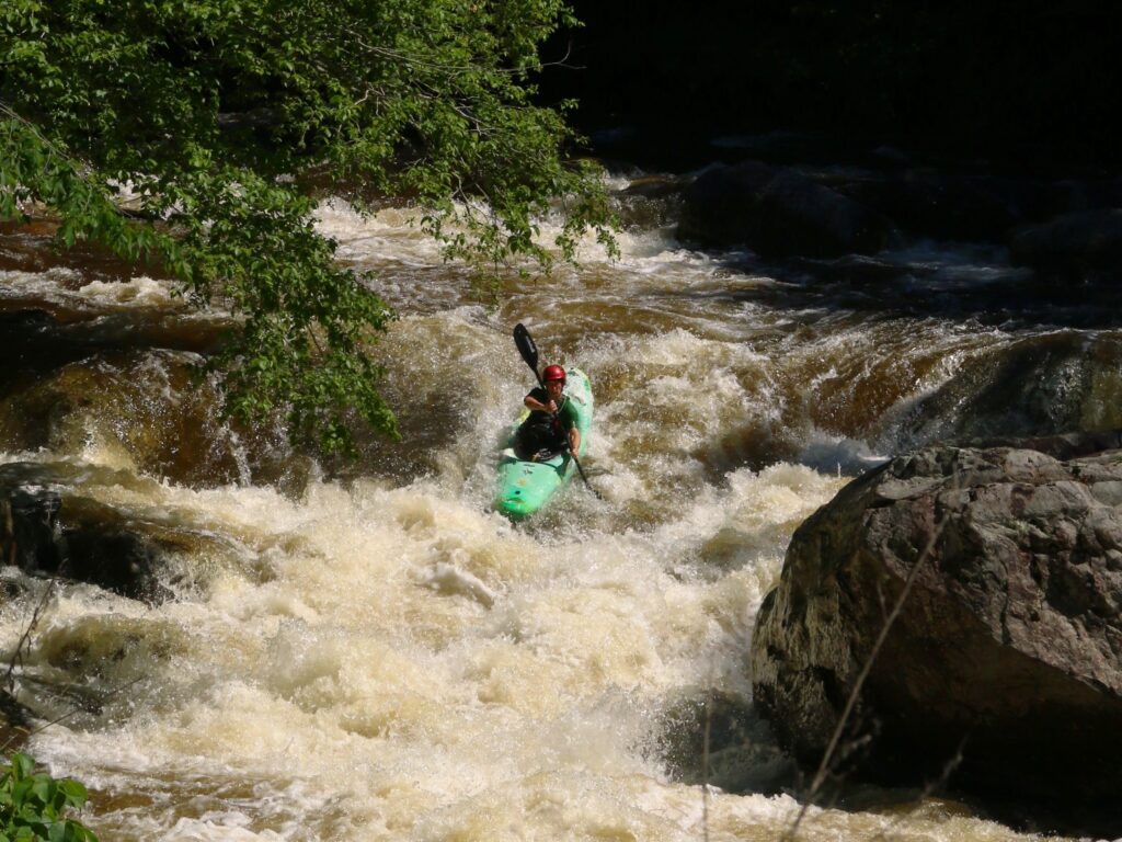
From the put-in near the confluence of Mash Fork in Camp Creek State Forest to a church parking area just off the Camp Creek exit of the West Virginia Turnpike(I -77 exit 20 is a 2.5 mile paddle. However most boaters put-in near the church parking area for an exciting two mile entrance to the Bluestone River. This section has a lot of bedrock exposed and contains 3 major slide ledges. The first two are straight forward with the third being more complex. The last series of rapids just before entering the Bluestone river are the only technical rapids and this section is known as Pinball. The Maximum gradient(80'mile) is found in this section.
Rapids in this Run (2)
Difficulty
Class II-III
Length
4.8 mi
Gradient
35 ft/mi
max 80
Rapids
2
Access Points
Difficulty Classes
I Easy
II Novice
III Intermediate
IV Advanced
V Expert/Extreme
VI Unrunnable
Current Conditions
5-Day Forecast
Whitewater data from
American Whitewater
American Whitewater