Rapid
WV
Confluence with the Bluestone
Save this feature with the run it belongs to.
Gauge Conditions
Data from American Whitewater & USGS
Photo
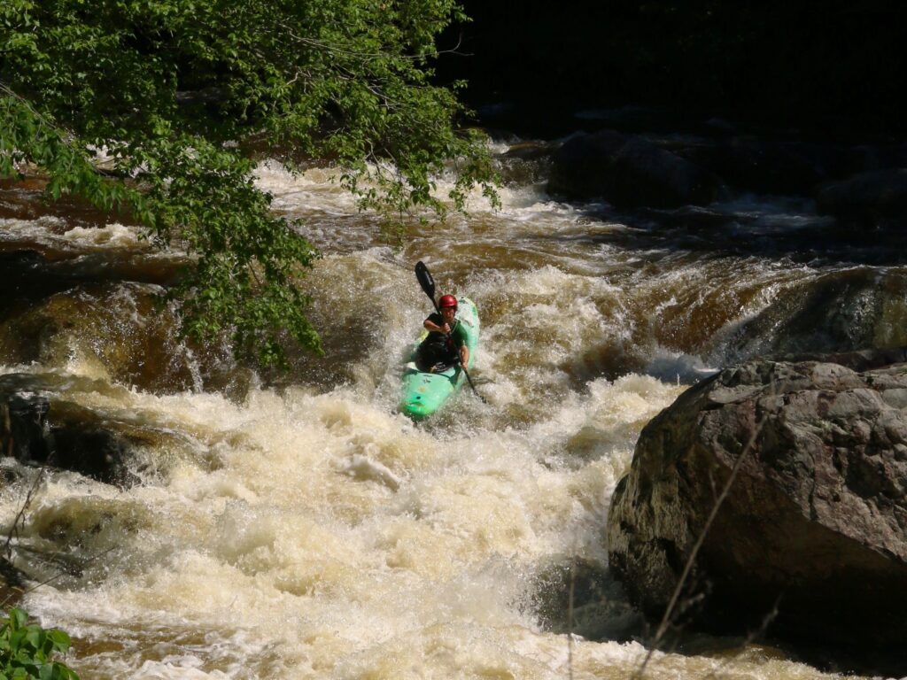
Photo courtesy of American Whitewater
Description
The Confluence with the Bluestone marks the terminus of Camp Creek's whitewater section, where paddlers transition from the creek's tight technical descent to the larger volume of the Bluestone River. While specific details are limited, the confluence likely presents potential hazards from converging currents, potential hydraulics, and potential debris or rock formations at the meeting point of the two waterways.
Location
Other Rapids on This Run (3)
View Full Run
Camp Creek State Forest to Bluestone River
Camp Creek
II-III
4.8 mi
Current Conditions
5-Day Forecast
Whitewater data from
American Whitewater
American Whitewater