Croton Dam to Hudson River - Island Rapids
Gauge Conditions
Runnable: 2.5 – 7.0 FT
Data from American Whitewater & USGS
Run Map
Run Time Estimate
Select put-in and take-out to estimate time.
Plan This Trip
See wind-adjusted speed maps, forecast planning, and detailed time estimates.
Sign in to generate an AI timing estimate for this run.
Whitewater timing varies with scouting, portages, and group pace. Use as a planning baseline.
Description
The Croton isn't something most folks would travel far for, though doing it once and launching at the dam is pretty impressive. It's one of the largest masonary structures in the world. But if you don't have to travel far, it runs often and holds well. Croton resevior is NYC's back up water in case one of the 2 water tunnels fail, so it's normally kept full and even a half an inch or rain will push it up for a few days. A good soaking will keep it up for weeks.
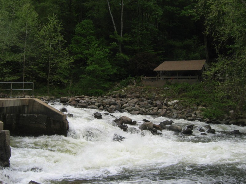
Log crosses diversion canal at right of low-dam (first dam on run) at water department. It's visable if you peak down the canal, and avoidable but lots of flow going under it and a trapped log away from being a death trap. Dam can be boofed or portaged at river right.
Access:
Normal start is Croton Dam Park is owned by Westchester County; you may have to pay on nice weekends before about 4 PM. (Note we were told by Parks Maintenence we couldn't launch from the park spring of 2022, so recommend speed and descretion).
Starting at Black Rock you just miss some eddies next to the road (and the amazing view of the dam).
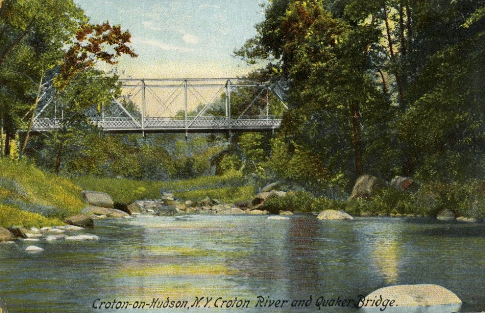
Do not park in Black Rock Park at Quaker Bridge for the surfwave. They ticket nonresidents. You can park at a pull-off another 100 feet from the bridge or on non-posted side streets further up the road (drop at park and then park).
Attaining from Silver Lake to Quaker Bridge is pretty easy (1 portage above about 2.8 feet) and Silver Lake has legal parking.
Normal takeout is Mayo's Landing or at the RR station (pay for parking).
River sequence Croton Dam to Hudson River:
Pumping station dam,
Rock Slide at Black Rock Park Dam above Quaker Bridge Dam: class II ish with class IV consequences, 8 feet high 30 ft long: Run the rock slide at river left or portage right If you flip, you will get scraped up. Do not run next to the sluice as there is rebar. Below 3 feet it's too shallow.
Surf wave below Quaker Bridge.
Silver Lake dam: Run hard right. There is a strong hole below the rest of the dam but it is quite shallow. At high water it's more wave-like.
Island Rapid: II and up, depending on level.
Carry up island center of island for laps.
Mayo's Landing, Nordica Drive. Second takeout: On right, just before the river splits again with most of it going left. Can park legally on road at top of path except summer weekends and holiday(Mem day to labor day), when you can park further up the road.
Rest of river fast or flatwater at high tide to Hudson. Take out at the RR station just before bridge. Legal paid parking at all times.
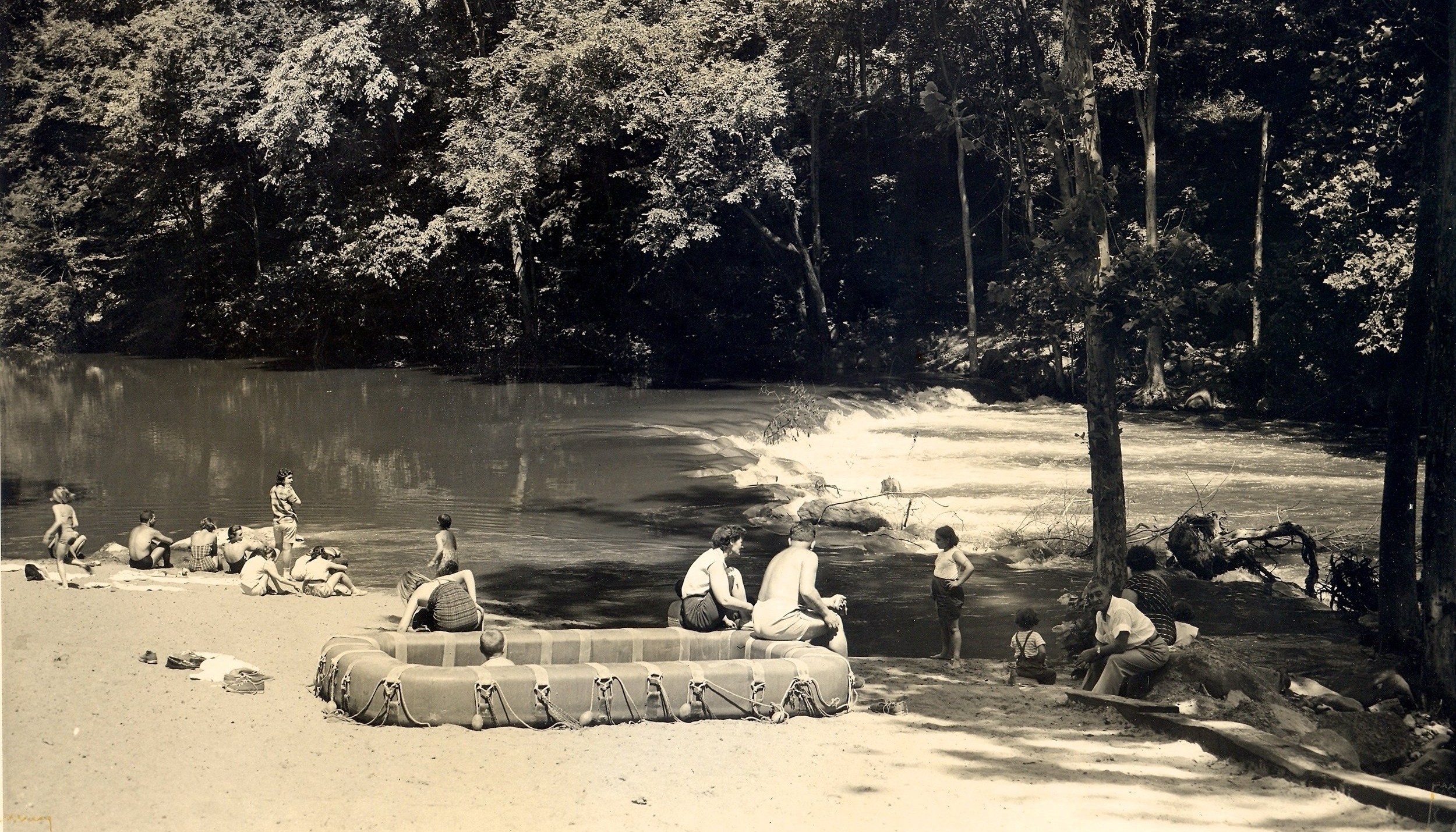
The Croton has several flat sections but does have some nice features.
Rapids in this Run (5)
Hazards & Portages (1)
Caution: The following locations may require scouting or portaging. Always check current conditions.
Difficulty
Class II-III(IV)
Length
7.1 mi
Rapids
5
1 Hazard
Access Points
Difficulty Classes
I Easy
II Novice
III Intermediate
IV Advanced
V Expert/Extreme
VI Unrunnable
Current Conditions
5-Day Forecast
Whitewater data from
American Whitewater
American Whitewater