Mayo's Landing
Save this feature with the run it belongs to.
Gauge Conditions
Data from American Whitewater & USGS
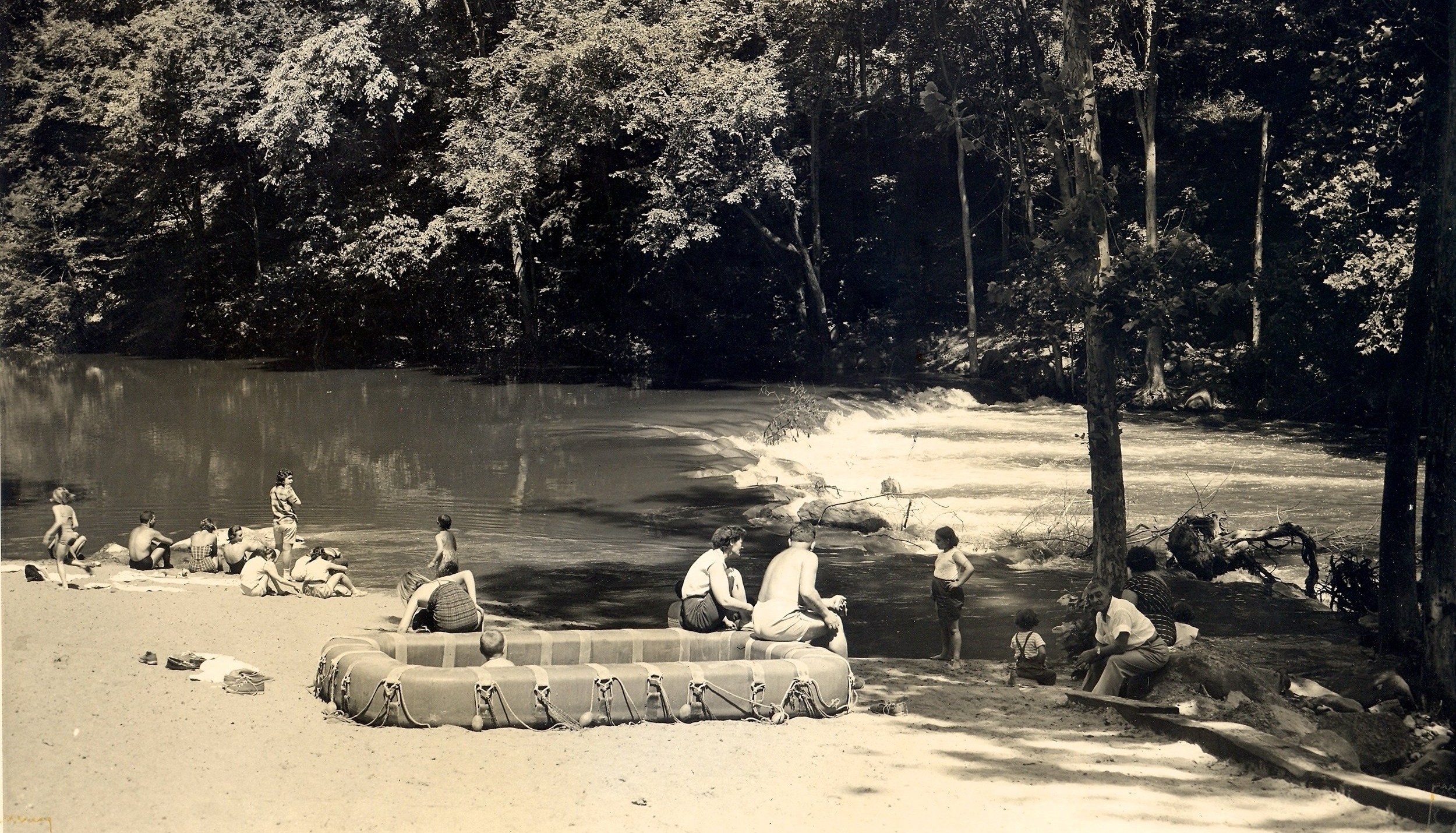
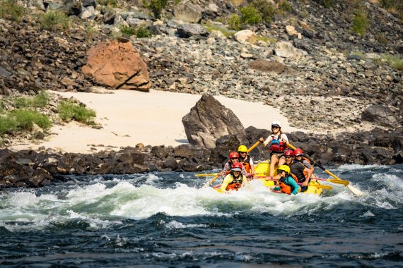
Photo
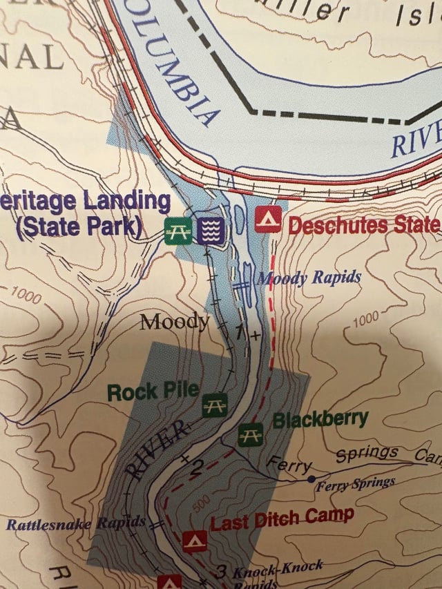
Photo courtesy of American Whitewater
Description
Take-out on river right just before river turns left around island after the last of a string of houses perched on the cliffs (and countless no trespassing signs). Limitted parking on Nordica Drive except summer weekends (Mem day - Labor Day. Then go to take out at the RR station just before bridge. Legal paid parking at all times ).
Steep and often muddy slope about 100' carry 20' feet vertical.
Location
Interactive river map
Loads as you approach this section.


View Full Run
Croton Dam to Hudson River - Island Rapids
Croton
II-III(IV)
7.1 mi
Current Conditions
5-Day Forecast
Whitewater data from
American Whitewater
American Whitewater