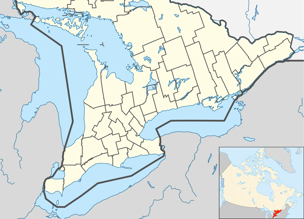
D) Elm Hoist Rd to Odanah (20.4 miles) ** ACCESS ISSUES **
Gauge Conditions
Data from American Whitewater & USGS
Run Map
Run Time Estimate
Select put-in and take-out to estimate time.
Plan This Trip
See wind-adjusted speed maps, forecast planning, and detailed time estimates.
Sign in to generate an AI timing estimate for this run.
Whitewater timing varies with scouting, portages, and group pace. Use as a planning baseline.
Description
A relatively long reach with relatively little whitewater, this reach is better suited to canoe tripping. Boulder bed rapids at Upper and Lower Bad River Falls.
Permission required from Bad River Band of Lake Superior Chippewa. Access uncertain at this time. Snowmobilers have reportedly been fired upon in this area.
Difficulty
Class I-II(III)
Length
20.7 mi
Gradient
4 ft/mi
max 30
Rapids
4
Access Points
Shuttle Info
It can be advantageous on many runs (where possible) to meet at the take-out, gear-up, swap boats & boaters into shuttle vehicle(s), leaving 'drop' vehicle(s) at the take-out. This eliminates the need for some (non-driving) boaters to sit idle while shuttle is run, and means driving only one way (upstream) before the run. (Unless you have non-boating/shuttle-only drivers, meeting at the put-in would mean at least _some_ vehicles/drivers have to drive downstream **and back up** before the group starts down the river. There are times when that 'extra' time could make a difference on the river! Think of it this way: you run the river top-to-bottom, you run the shuttle bottom-to-top.
Difficulty Classes
I Easy
II Novice
III Intermediate
IV Advanced
V Expert/Extreme
VI Unrunnable
Current Conditions
5-Day Forecast
Whitewater data from
American Whitewater
American Whitewater