Rapid
WI
USGS Gauge: 597 sq.mi.
Save this feature with the run it belongs to.
Gauge Conditions
Data from American Whitewater & USGS
Photo
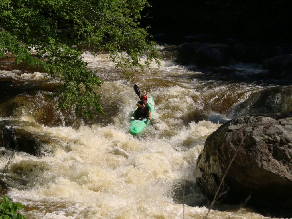
Photo courtesy of American Whitewater
Description
The Bad River's lower section presents complex hydraulics with a substantial drainage area of 597 square miles, creating unpredictable water dynamics. Paddlers should be aware of potential access challenges and carefully assess current conditions, as the river's volume and flow characteristics can significantly impact navigability and route selection.
Location
Other Rapids on This Run (5)

View Full Run
D) Elm Hoist Rd to Odanah (20.4 miles) ** ACCESS ISSUES **
Bad
I-II(III)
20.7 mi
Current Conditions
5-Day Forecast
Whitewater data from
American Whitewater
American Whitewater