D) Hwy.61 (Scanlon) to CR210 (Thomson Reservoir) (3.4 miles)
Gauge Conditions
Runnable: 1,000.0 – 10,000.0 CFS
Very low, but doable. (At least two worthwhile rapids.)
Data from American Whitewater & USGS
Run Map
Run Time Estimate
Select put-in and take-out to estimate time.
Plan This Trip
See wind-adjusted speed maps, forecast planning, and detailed time estimates.
Sign in to generate an AI timing estimate for this run.
Whitewater timing varies with scouting, portages, and group pace. Use as a planning baseline.
Description
This stretch is a popular raft trip, convenient to Duluth and (slightly less so) to Minneapolis/St.Paul. Action is very pool/drop, with significant stretches of flatwater between the drops, as well as a reservoir to paddle across at the end of the trip to access the take out.
Put in is at a rafting outfitters, where parking of vehicles by private boaters is tolerated in the further reaches (closer to the frontage road) of the grassy lot.
A brief access paddle (crossing under I-35) leads to the first rapids. The river bends right, then left, through a series of small, smooth waves, and (on river left) a couple rocks which create a couple of good play holes. The rodeo crowd will spend much time here.
The main feature on the run is _Electric Ledge_. As power-lines span the river, a bedrock intrusion into the river chokes the stream to flow through a couple of waves and holes. Play may be possible here, depending on levels as well as boater confidence and ability.
Not far downstream, an island splits the river. The left channel (normal run) is _Little Kahuna_, a fine, long boulder garden, with a couple potentially sticky holes toward the end, river right. The right channel loses most of its gradient at the head of the island, as it trips down a particularly jumbled, boney falls, _Big Kahuna_. A couple possible lines exist to run this, though most choose to pass (running the left channel, as previously described).
There are a few other scenic dells and a couple minor rapids on the run before the gradient peters out, as one reaches the backwaters of the Thomson Dam. Nearly a mile (it will seem longer) of paddling across the reservoir will bring you to a pier (to the left of the dam), where you will carry across a poison-ivy covered berm, and to the parking lot at the paddling center at Hwy.210.
Check out the DNR map for this river.
A Minnesota boating group, Rapids Riders, has a fine river map (in the style of William Nealy) available HERE.
Want to see some video of the river in FLOOD? 45,000cfs!!!
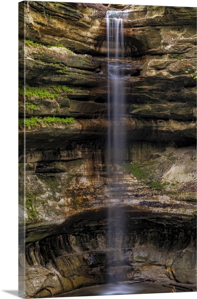
Waterfalls (1)
Difficulty
Class II-III
Length
3.2 mi
Gradient
12 ft/mi
max 25
Rapids
0
Access Points
Difficulty Classes
I Easy
II Novice
III Intermediate
IV Advanced
V Expert/Extreme
VI Unrunnable
Current Conditions
5-Day Forecast
Whitewater data from
American Whitewater
American Whitewater