Narrows
Save this feature with the run it belongs to.
Gauge Conditions
Runnable: 1,000.0 – 10,000.0 CFS
Very low, but doable. (At least two worthwhile rapids.)
Data from American Whitewater & USGS
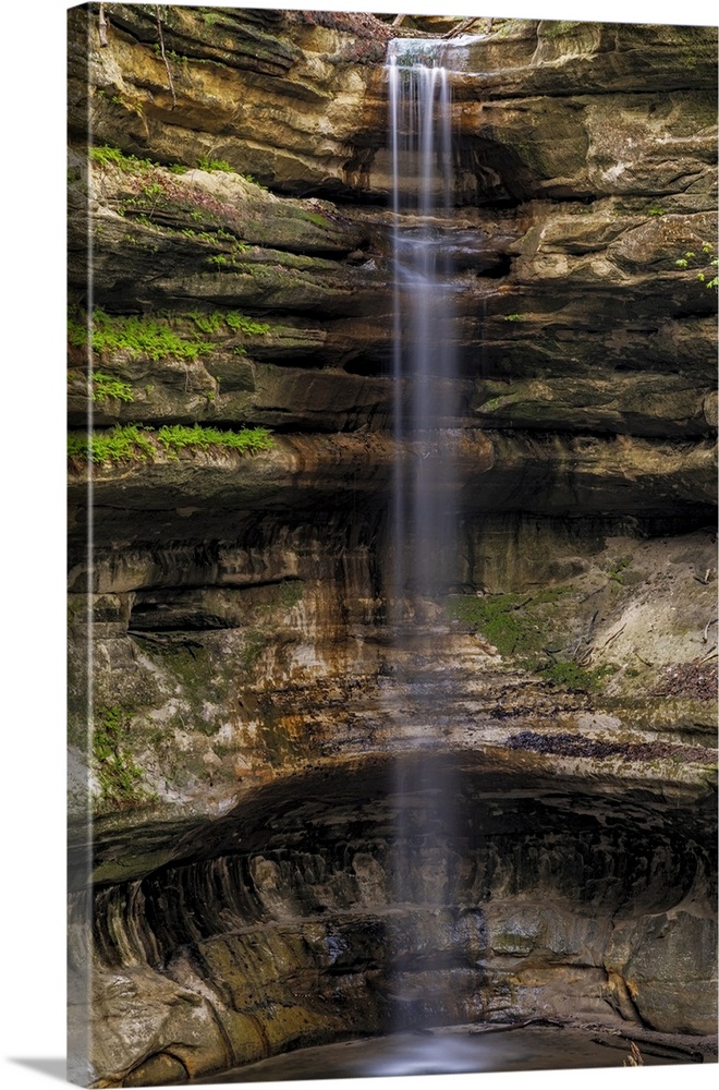
Photo
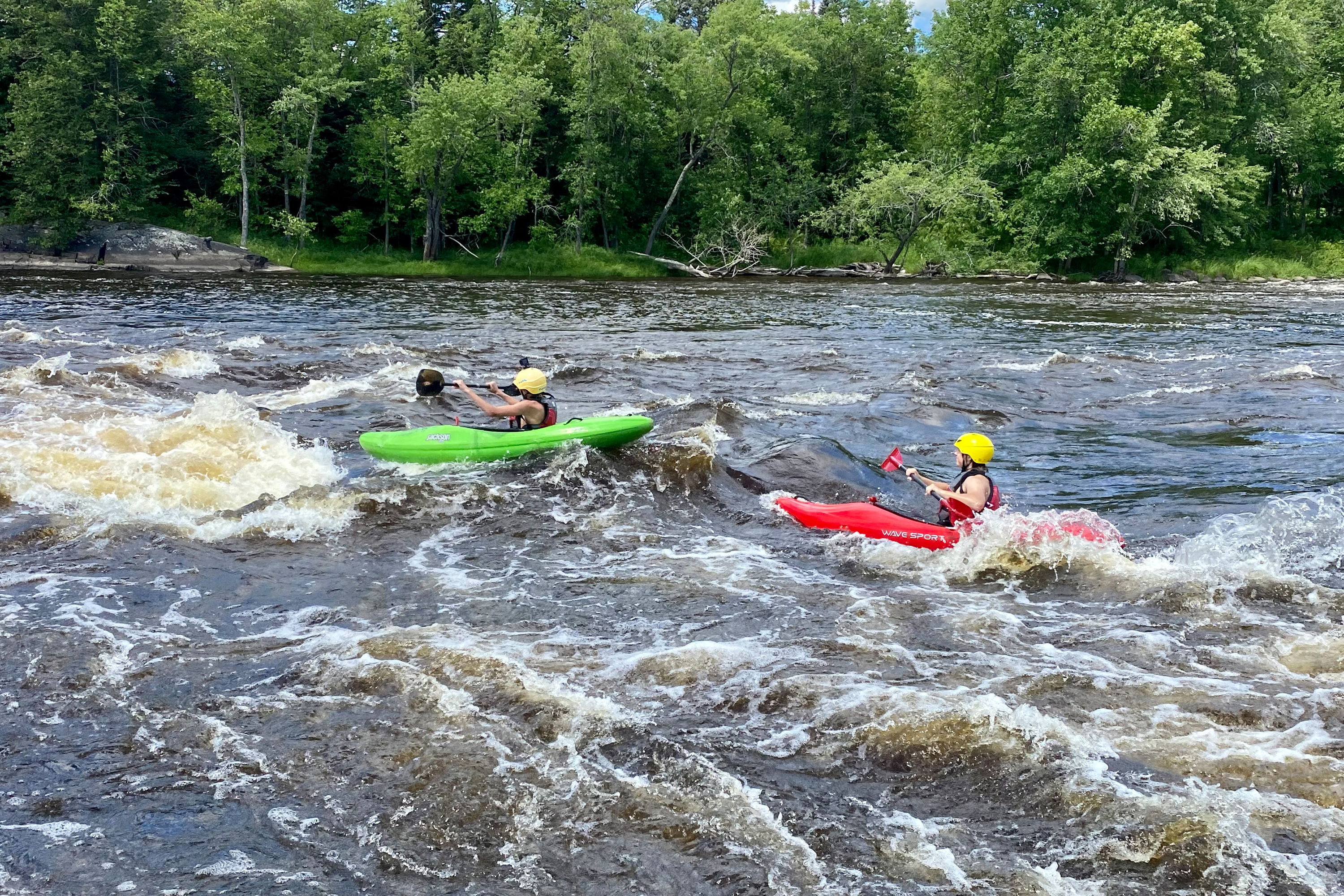
Photo courtesy of American Whitewater
Description
The river narrows through a bit of a dells. There are minor rapids leading in and out of this area. Some boaters enjoy taking out river-left and carrying up a path to a high outcropping from which they can do a high 'seal start' into the river. (Depth at the base is plenty good to 'go deep'.)
Location
Other Rapids on This Run (6)

View Full Run
D) Hwy.61 (Scanlon) to CR210 (Thomson Reservoir) (3.4 miles)
St. Louis
II-III
3.2 mi
Current Conditions
5-Day Forecast
Whitewater data from
American Whitewater
American Whitewater