Put-in
MN
Put In
Save this feature with the run it belongs to.
Gauge Conditions
Runnable: 1,000.0 – 10,000.0 CFS
Very low, but doable. (At least two worthwhile rapids.)
Data from American Whitewater & USGS
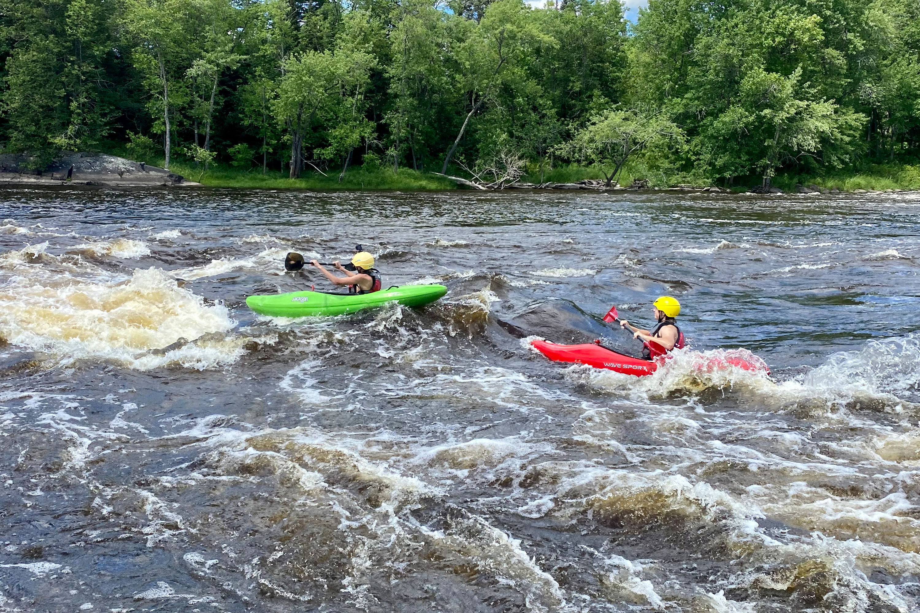
Photo

Photo courtesy of American Whitewater
Description
Put In rapid on the St. Louis River offers a relatively straightforward entry point for paddlers accessing this section of the river. While details are limited due to its N/A classification, boaters should be prepared for potential mixed water conditions and scout the rapid carefully before launching. Awareness of local water levels and potential underwater obstacles is recommended.
Location
Interactive river map
Loads as you approach this section.
Other Rapids on This Run (6)
View Full Run
D) Hwy.61 (Scanlon) to CR210 (Thomson Reservoir) (3.4 miles)
St. Louis
II-III
3.2 mi
Current Conditions
5-Day Forecast
Whitewater data from
American Whitewater
American Whitewater