East Branch Rd to Hwy.45 (7.5 miles) Wild
Gauge Conditions
Runnable: ? – ? CFS
Approximate reading: This gauge is 6.7 miles away on Ontonagon. Use as a general reference only.
Data from American Whitewater & USGS
Run Map
Put-in
Take-out
Rapids/Hazards
Wild
Recreational
Run Time Estimate
Select put-in and take-out to estimate time.
Plan This Trip
See wind-adjusted speed maps, forecast planning, and detailed time estimates.
Sign in to generate an AI timing estimate for this run.
Whitewater timing varies with scouting, portages, and group pace. Use as a planning baseline.
Description
Put-in: There is no bridge across the river on East Branch Road. The final 100 meters of East Branch Road (to the river) are 'abandoned' and are now private property. Please request permission at the last house on right to park and carry down to river.
Take-out: Hwy.45 "Military Bridge"
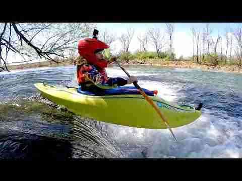
This makes a good play run at higher water, with some fine stretches of continuous I-II rapids, and a few areas which may push into class III-ish range, and some fine 'squirt spots'. There are no 'major' drops which would require scouting by competent whitewater boaters.
Rapids in this Run (1)
Playspots (1)
Difficulty
Class II-III
Length
7.6 mi
Gradient
27 ft/mi
max 54
Rapids
1
Access Points
Difficulty Classes
I Easy
II Novice
III Intermediate
IV Advanced
V Expert/Extreme
VI Unrunnable
Current Conditions
5-Day Forecast
Whitewater data from
American Whitewater
American Whitewater