Goodwin Dam to Knights Ferry
Gauge Conditions
Runnable: ? – ? CFS
Approximate reading: This gauge is 0.1 miles away on Stanislaus. Use as a general reference only.
Data from American Whitewater & USGS
CDEC Flow Data California
Data from California Data Exchange Center (CDEC)
Run Map
Interactive run map
Loads as you approach this section.
Description
Getting There: The take out is at Knights Ferry's Recreation Area, approximately 30 miles northeast of Modesto, CA. From this public park, drive about 2-3 miles east along Highway 120/108 to Tullock Road (a left turn). Drive another 1.6 miles to the put-in. GPS Coordinates at Google Maps.&hl=en&ie=UTF8&z=17&ll=,37.8594-120.6348&spn=0.00376,0.010632&t=h&om=1) If you can see the Goodwin Dam, you've gone too far.

There is limited parking along both sides of the road. From here it is a short walk to the river.

Scouting Mr. Toad's: After turning onto Tullock Road, there is a dirt road 1.3 miles down on the left hand side. From here you can scout Mr. Toad's Wild Ride. Park on the dirt road and its a short hike to the overlook. From this spot it is only another 0.3 miles to the put in.

Local Clubs:
For more information on this and other local paddling areas, please feel free to contact these local clubs: Gold Country Paddlers.
Online:
You can get more information from California's Whitewater Community at boof.com.
Goodwin-Canyon.com is a website that has a lot of useful information about the river and area. They have a river map that you can print out and take with you.
There is also a write up on California Creeks.
Goodwin Dam is 80 feet high and was completed in 1913. It is jointly owned by two irrigation districts: the South San Joaquin ID and the Oakdale ID. Two canals lead from the dam, one on each side of the river. SSJID supplies water to 70,000 acres of farmland in the Manteca, Escalon, Ripon area. Oakdale ID supplies water to about 20,000 acres of farmland on either side of the Stanislaus river in the Oakdale, Riverbank area. Both districts also supply domestic water. They also produce electricity at their various dam projects and recently from solar projects.
Rapids in this Run (8)
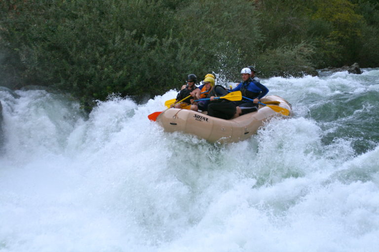
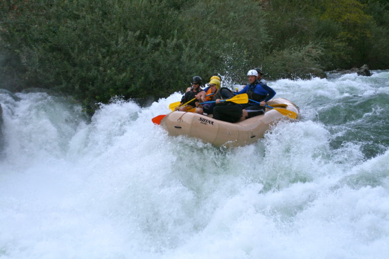
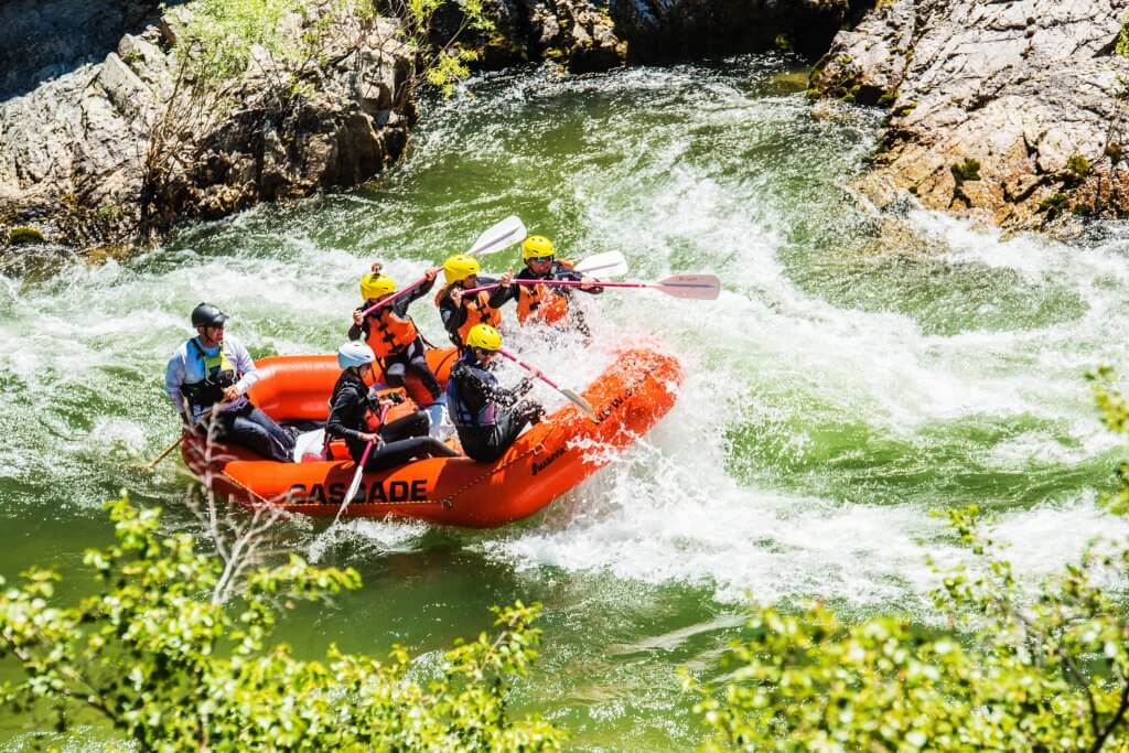
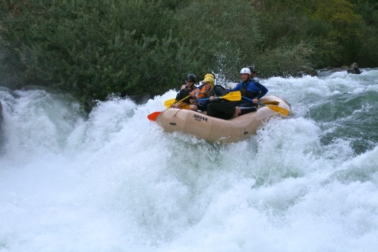
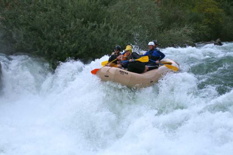
Waterfalls (1)
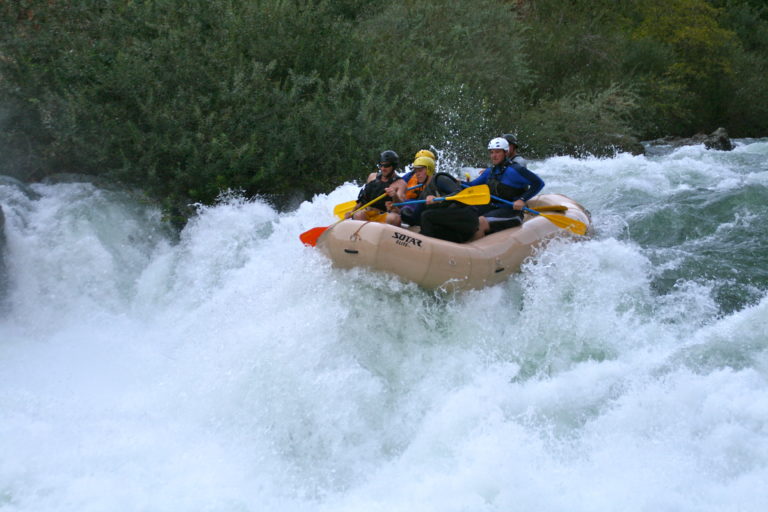
Hazards & Portages (3)
Caution: The following locations may require scouting or portaging. Always check current conditions.
Difficulty
Class III-IV+
Length
3.8 mi
Gradient
30 ft/mi
max 50
Rapids
8
3 Hazards
Access Points
Shuttle Info

Difficulty Classes
I Easy
II Novice
III Intermediate
IV Advanced
V Expert/Extreme
VI Unrunnable
Current Conditions
5-Day Forecast
Whitewater data from
American Whitewater
American Whitewater