The Shallows
Save this feature with the run it belongs to.
Gauge Conditions
Runnable: ? – ? CFS
Approximate - nearest available gauge. Use as general reference only.
Data from American Whitewater & USGS
CDEC Flow Data California
Data from California Data Exchange Center (CDEC)
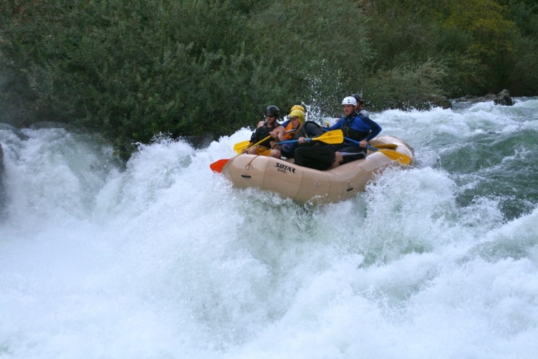
Photo
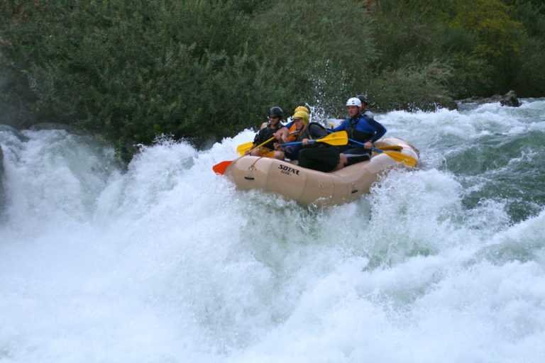
Photo courtesy of American Whitewater
Description
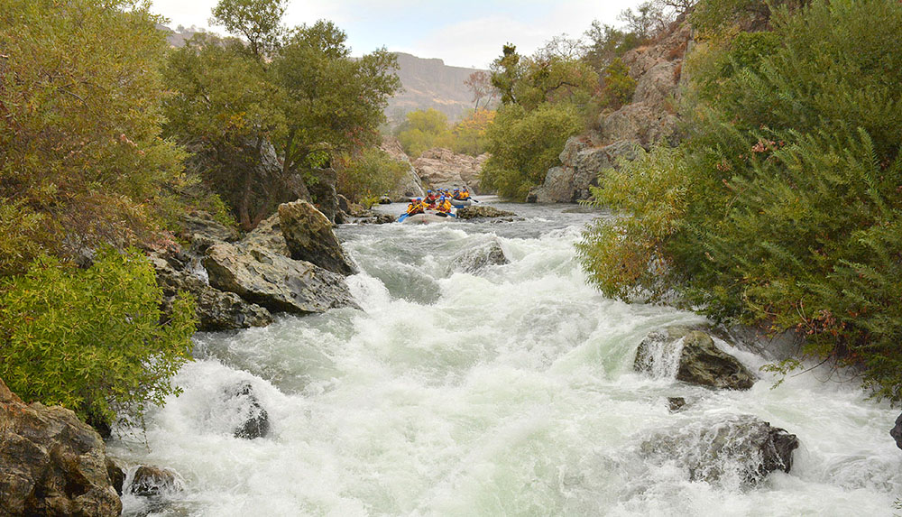
The Shallows presents a technical Class II+ challenge with a series of closely spaced rock gardens that require precise boat positioning and quick maneuvering. Paddlers should anticipate multiple small hydraulics and the need to thread between larger mid-stream boulders, with the main line running along the river right, but requiring careful momentum control to avoid potential pin spots. The rapid becomes more challenging at lower water levels, where exposed rocks create additional route-finding complexity.
Location
Interactive river map
Loads as you approach this section.
Other Rapids on This Run (13)
 Rapid
I
Rapid
I
Goodwin Dam
 Rapid
III
Rapid
III
Laundry Chute
 Rapid
III
Rapid
III
Surf City
 Hazard
IV+
Hazard
IV+
Mr. Toad's Wild Ride
 Rapid
III
Rapid
III
Willow Rapid
 Waterfall
V
Waterfall
V
Matterhorn
Rapid
III+
Upper Pinball
Rapid
III+
Lower Pinball
 Hazard
IV+
Hazard
IV+
Haunted House
 Rapid
II
Rapid
II
The Narrows
Rapid
III+
Air Mattress
Rapid
Knights Ferry Covered Bridge
Rapid
Knights Ferry Public Park
View Full Run
Goodwin Dam to Knights Ferry
Stanislaus
III-IV+
3.8 mi
Current Conditions
5-Day Forecast
Whitewater data from
American Whitewater
American Whitewater