Take-out
CA
Knights Ferry Public Park
Save this feature with the run it belongs to.
Gauge Conditions
Runnable: ? – ? CFS
Approximate - nearest available gauge. Use as general reference only.
Data from American Whitewater & USGS
CDEC Flow Data California
Data from California Data Exchange Center (CDEC)
Description
GPS Coordinates at Google Maps.
A public park that has an easy takeout on river right. There is free parking, port-a-potties, hiking trails, boat launching areas, and picnic tables. The Army Corp of Engineers also maintains a free visitor center at Knights Ferry, (209) 881-3517.
A public park that has an easy takeout on river right. There is free parking, port-a-potties, hiking trails, boat launching areas, and picnic tables. The Army Corp of Engineers also maintains a free visitor center at Knights Ferry, (209) 881-3517.
Location
Interactive river map
Loads as you approach this section.
Other Rapids on This Run (13)
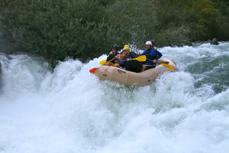 Rapid
I
Rapid
I
Goodwin Dam
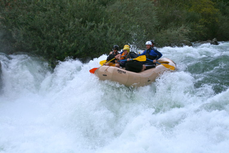 Rapid
III
Rapid
III
Laundry Chute
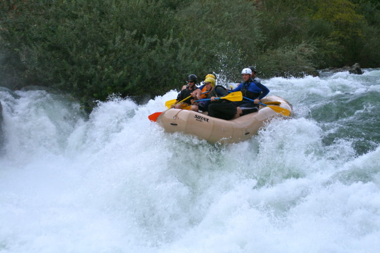 Rapid
III
Rapid
III
Surf City
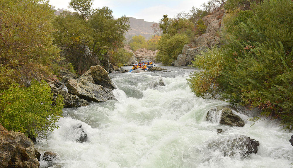 Hazard
IV+
Hazard
IV+
Mr. Toad's Wild Ride
 Rapid
III
Rapid
III
Willow Rapid
 Waterfall
V
Waterfall
V
Matterhorn
Rapid
III+
Upper Pinball
Rapid
III+
Lower Pinball
 Hazard
IV+
Hazard
IV+
Haunted House
 Rapid
II
Rapid
II
The Narrows
Rapid
III+
Air Mattress
 Rapid
II+
Rapid
II+
The Shallows
Rapid
Knights Ferry Covered Bridge
View Full Run
Goodwin Dam to Knights Ferry
Stanislaus
III-IV+
3.8 mi
Current Conditions
5-Day Forecast
Whitewater data from
American Whitewater
American Whitewater