Hemlock Rapids: Hemlock River to Bates Amasa Rd. (5.6 miles)
No sufficiently local live gauge linked. 1 automated match was excluded because the closest is 358.3 miles away. Difficulty and route details are not current water conditions.
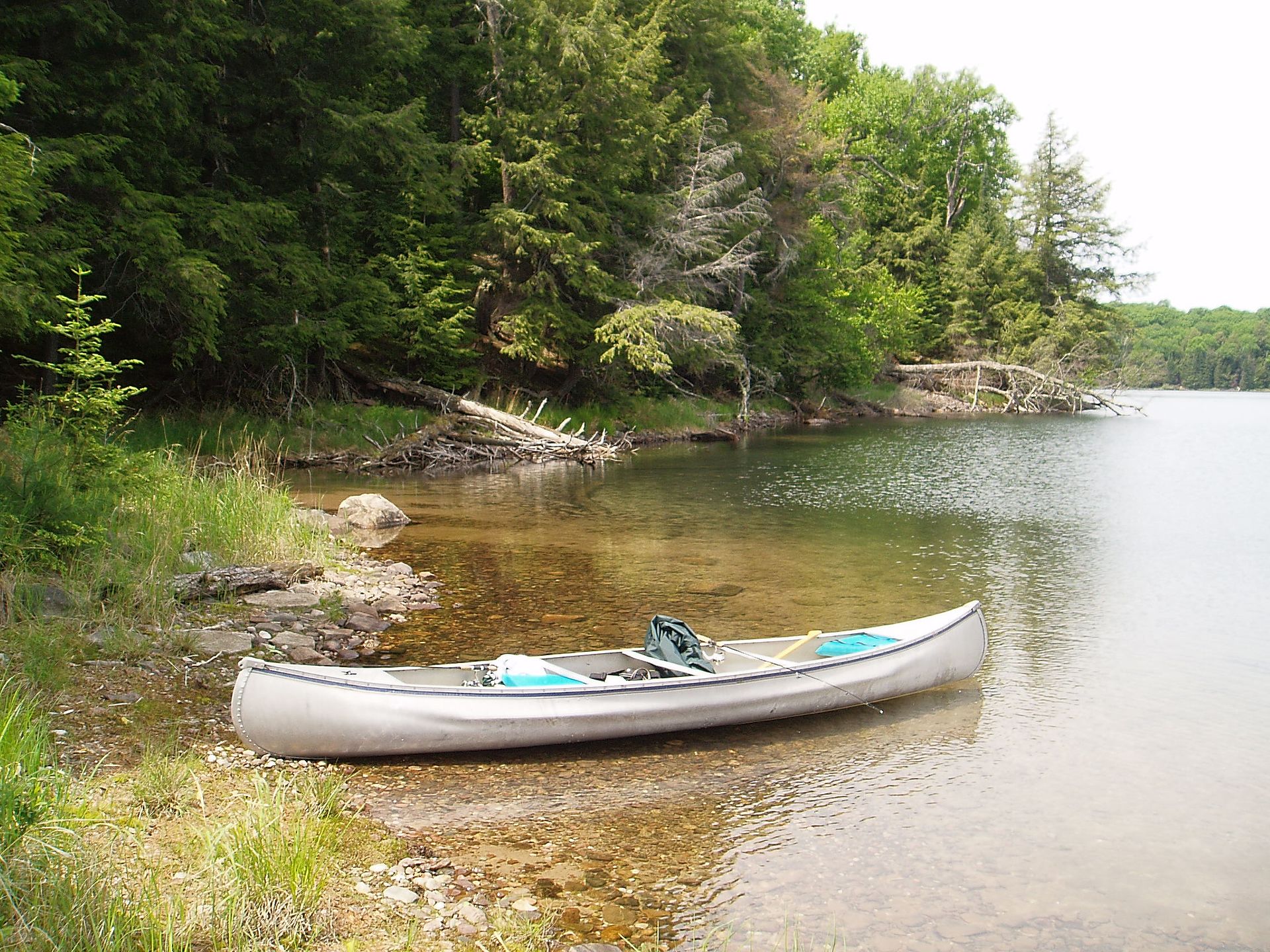
Run Map
Run Time Estimate
Select put-in and take-out to estimate time.
Plan This Trip
See wind-adjusted speed maps, forecast planning, and detailed time estimates.
Sign in to generate an AI timing estimate for this run.
Whitewater timing varies with scouting, portages, and group pace. Use as a planning baseline.
Description
The access paddle down the Hemlock River has a good number of short rocky stretches. At high water, a few of these may be mildly entertaining rapids. At low water, they will all be (varyingly) boney, frustrating boulder fields to pick your way through, knuckle-walk your boat through, or get out and drag/carry your boat through.
Very shortly after the last (and worst at low water) of the boulder-garden drops, you reach the Paint River. Just downstream of the confluence, you'll encounter Hemlock Rapids (about 1/3 mile long), a brief flatwater stretch (about 1/3 mile long), then Lower Hemlock Rapids (again, about 1/3 mile long). These two rapids contain some pretty fair action, and (at moderate-to-high levels) could be a real hoot. A few spots could develop wicked holes.
Once that action subsides, you are left with about two miles of flatwater to the take-out. Note: DeLormes and topo maps show a road extending upstream from 0.7 miles north of the listed take-out, extending upstream all the way to the end of Lower Hemlock Rapids. Unfortunately, the road and all property along it is privately held, making access via this means extremely unlikely -- count on paddling the flatwater all the way to the listed bridge, where there is plenty of parking and great easy access to the river.
As listed here, the suggested put-in is on the Hemlock River, and the take-out is at the bridge on Bates-Amasa Road. Using this combination makes the shuttle as short and simple as can be -- just follow Bates-Amasa Road for 3.5 miles.
Alternative access points do exist, and may be advisable for low-to-moderate water-level runs to avoid the grungy access on the Hemlock River. Specifically, it appears (I have not verified) one should find reasonable access at a location marked on TopoZone as "Paint Dam (Abandoned)". Total river miles are changed very little (you get about 1.8 miles of flatwater on the Paint instead of about 2.1 miles of flatwater interspersed with very likely grungy boulderbed rapids on the Hemlock River). This does, however, more than double the shuttle length (to at least 8.5 miles).

Difficulty
Class I-III
Length
5.7 mi
Gradient
11 ft/mi
max 32
Rapids
5
Access Points
Difficulty Classes
I Easy
II Novice
III Intermediate
IV Advanced
V Expert/Extreme
VI Unrunnable
Current Conditions
5-Day Forecast
Whitewater data from
American Whitewater
American Whitewater