Rapid
MI
Alternate Access
Save this feature with the run it belongs to.
No sufficiently local live gauge linked. 1 automated match was excluded because the closest is 358.3 miles away. Use the parent run and local sources before making a trip decision.
Description
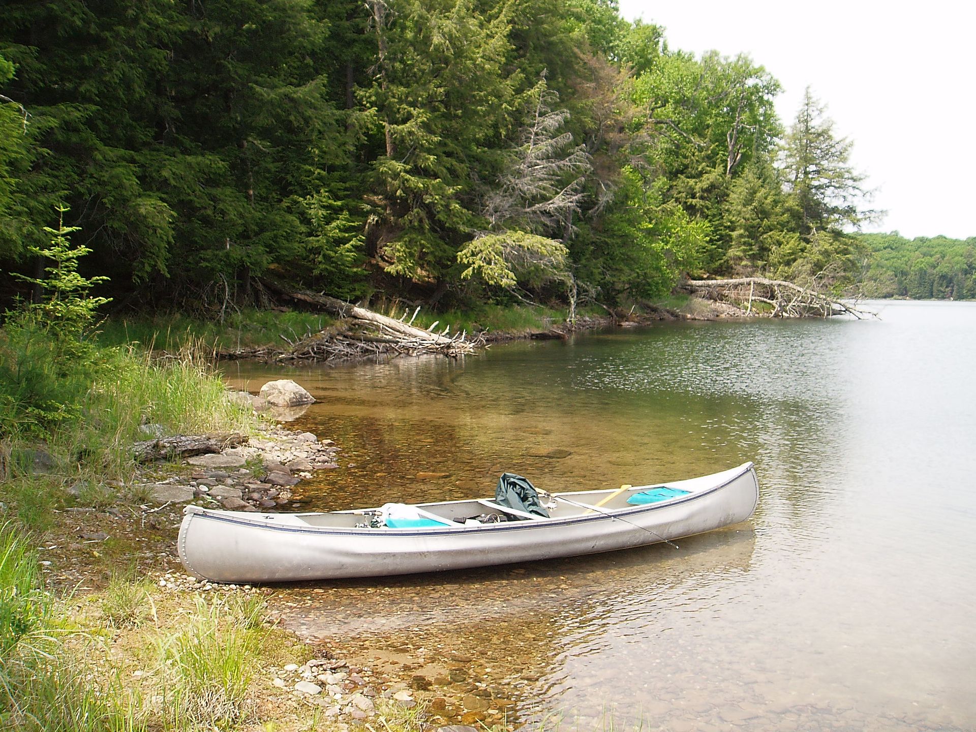
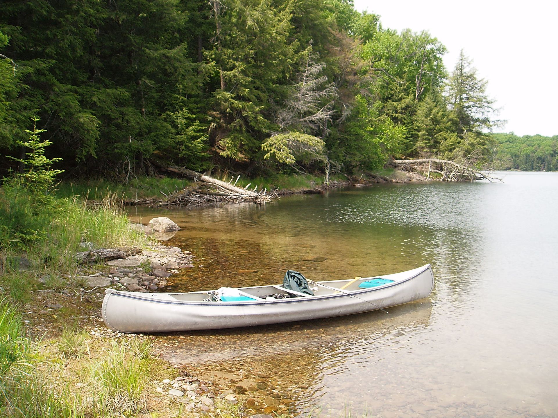
Using this access point changes the length of river trip only slightly (actually about 0.3 mile shorter), but doubles the length of the shuttle. Nonetheless, it may be advantageous to use this access when Hemlock River is rather low (I.E., when it will be a bump-and-scrape to get to the confluence). You will have 1.75 miles of flatwater (on the Paint), versus 2.15 miles of bump-and-scrape boulderbed (on the Hemlock).
By my best reckoning, drainage area at this point is in the neighborhood of 412 square miles. Hemlock will add its 53+ sq.miles in before the rapids begin.
Location
View Full Run
Hemlock Rapids: Hemlock River to Bates Amasa Rd. (5.6 miles)
Paint
I-III
5.7 mi
Current Conditions
5-Day Forecast
Whitewater data from
American Whitewater
American Whitewater