(hike in) FS 1219A to Richland Creek (2.75 miles)
Gauge Conditions
Runnable: 4.5 – 6.5 FT
Data from American Whitewater & USGS
Run Map
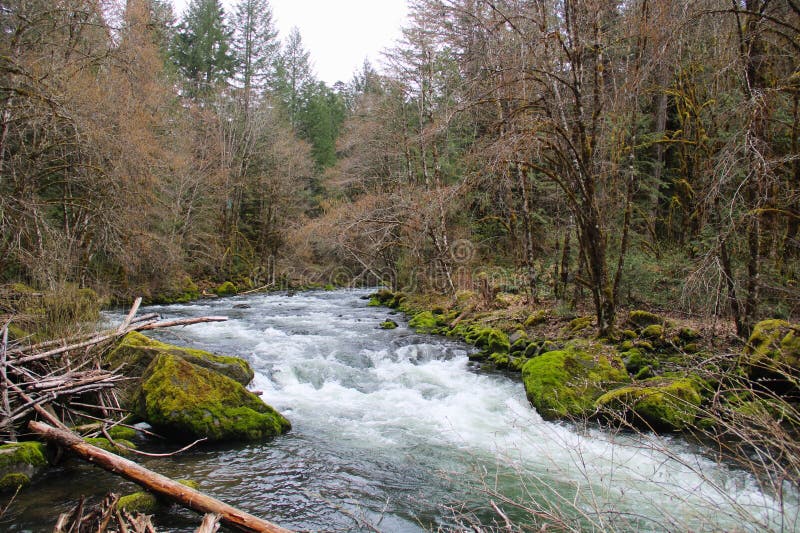
Description
Creek may be significantly different after the March 08 flood.
Note: The combination of Steep banks and lots of deadfalls tend to clog the creek with wood from time to time, so keep look out.
Put-in: Take Richland Creek Road East from Falling Water Creek below the low water bridge toward Hwy 16 at Witts Spring. Turn (North) on Bobtail Trail Road for 3 miles. Park at this point on an 4-WD road that descends a hill to the right (East). If conditions are good or you want an adventure you may be able to drive the 0.7 mile down to the creek on this road, otherwise carry. If you miss this road, go to the end of 1219A and turn around, come back 0.7 miles.
Take-out: Option 1 is to carry along the ATV trail from the confluence with Richland Creek back upstream to the Campground (1-mile). Option 2 is to run the remaining 7.5 miles of Lower Richland. (makes for long shuttle)
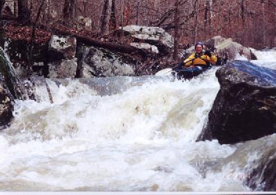
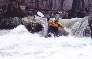
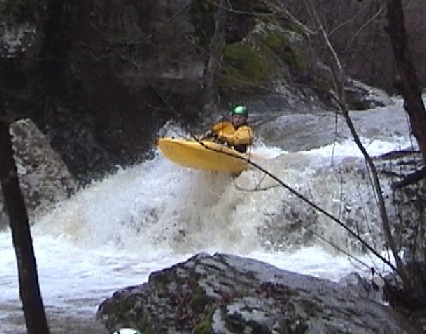
It contains about ten significant rapids and lots of class II-IV action in between. For the first 0.75 miles, the creek is shallow and fast class II-III with willows, a good place to warm up. This section is also prone to downed trees. Be on the lookout for a sweeping bend to the left terminating in a tight slot, the beginning of the good stuff. The 'Opening Act' is a first series of drops from Zorro to just above the Little Bobtail confluence. The drops are back to back and contain fairly tight moves. The action calms for a short while when Little and Short Bobtail creeks enter on the right. But soon this 'Intermission' is over and the 'Feature Presentation' is ready to demand your attention.
Paddlers should be confident running all rapids on upper Richland before trying this run.
Gradient by mile (100, 160, 70 in .7 miles). Steepest mile at 170 ft/mile.
If the water level good, then you might want the bonus put-in. After completing the main downhill portion of the put-in trail, it turns left and flattens for a bit. At the turn, continue downhill through the woods to the confluence of two small streams in what looks like a bobsled run. At the end of the slide is a narrow pinch leading to a steep 15+ ft tall slide. A couple more drops and bump down to the main creek.
Note: The flume above the slide is prone to collect wood, so scout before entering.
Rapids in this Run (8)
Hazards & Portages (2)
Caution: The following locations may require scouting or portaging. Always check current conditions.

Difficulty
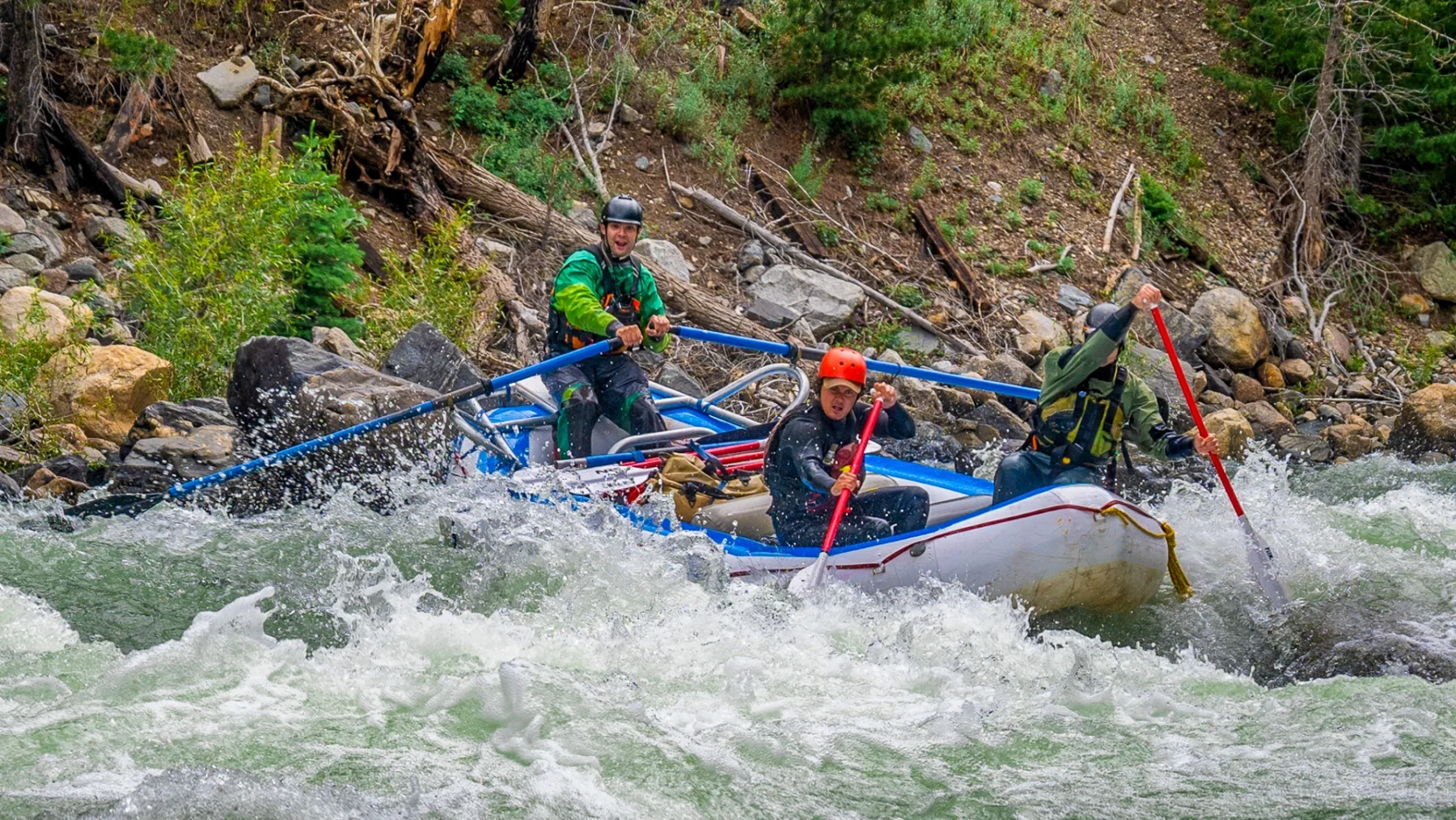
Class III-IV+
Length
2.8 mi
Gradient
120 ft/mi
max 170
Rapids
8
2 Hazards
Access Points
Shuttle Info
**Put-in:** Take Searcy County Road 265 (NFS 1219) East from Falling Water Creek toward Hwy 16 at Witts Spring. Turn left (North) on NFS Road 1219A for 3 miles. Park at this point on an 4-WD road that descends a hill to the right(East). If conditions are good or you want an adventure you may be able to drive the 0.7 mile down to the creek on this road, otherwise carry. If you miss this road, go to the end of 1219A and turn around, come back 0.7 miles.
**Take-out:** Option 1 is to carry along the ATV trail from the confluence with Richland Creek back up to the Campground (1-mile). Option 2 is to run the remaining 7.5 miles of [Lower Richland](http://www.americanwhitewater.org/rivers/id/2586/). (makes for long shuttle)
Difficulty Classes
I Easy
II Novice
III Intermediate
IV Advanced
V Expert/Extreme
VI Unrunnable
Current Conditions
5-Day Forecast
Whitewater data from
American Whitewater
American Whitewater