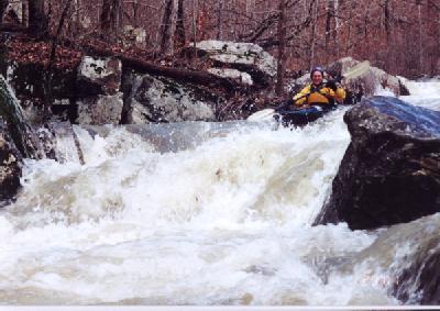
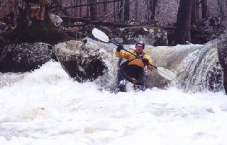
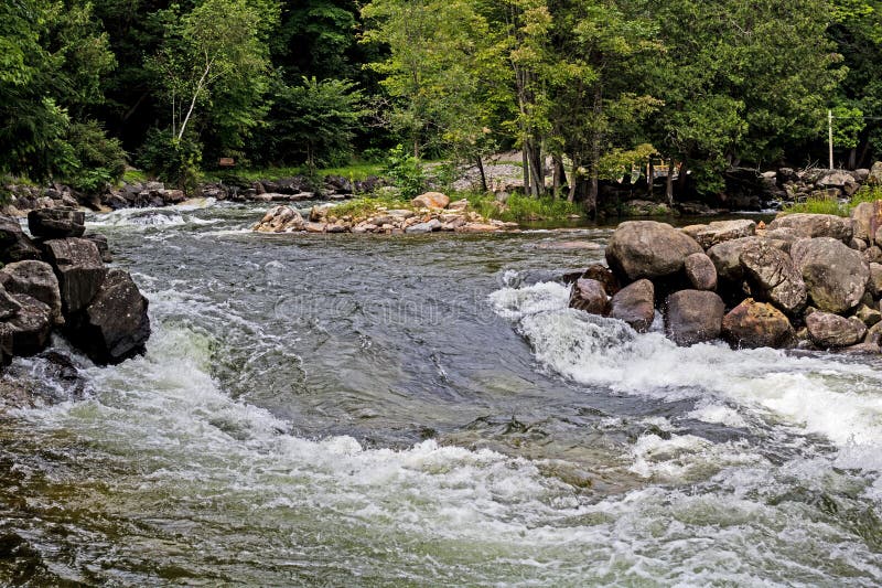
Cowper Dam
Save this feature with the run it belongs to.
Gauge Conditions
Data from American Whitewater & USGS
Photo
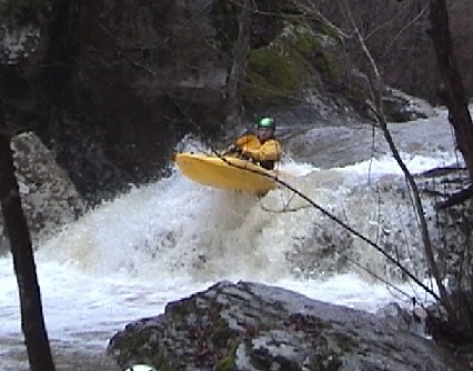
Photo courtesy of American Whitewater
Description
aka 'Go Left Falls'. Most of the water flows off a flat rock slanted to the right and into a nasty-looking narrow slot and undercut. Get up plenty of speed and go off the end of the flat rock. Several encounters with the slot have produced bruised bodies and egos.
Fall 2006: The crack on river right has opened up to allow more water into the sluice/undercut. This drop is currently a portage unless the water level is high.
(Name is pronouced Cooper for first descent pioneer Cowper Chadbourn)
Location


View Full Run
(hike in) FS 1219A to Richland Creek (2.75 miles)
Bobtail Creek
III-IV+
2.8 mi
Hazard — Exercise extreme caution in this area.
Current Conditions
5-Day Forecast
Whitewater data from
American Whitewater
American Whitewater