Hill Cemetery to Richland Creek (2.75+2 miles)
Gauge Conditions
Runnable: 5.0 – 7.0 FT
Data from American Whitewater & USGS
Run Map
Description
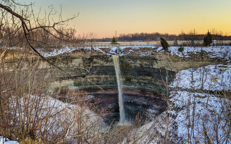
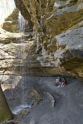
Note: The combination of Steep banks and lots of deadfalls tend to clog the creek with wood from time to time, so keep look out. _A popular option is to run Richland Creek and hike up the trail on creek right to Twin Devil's Falls._
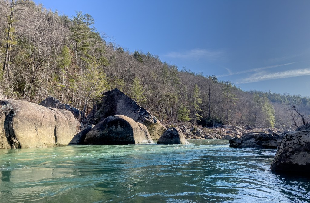
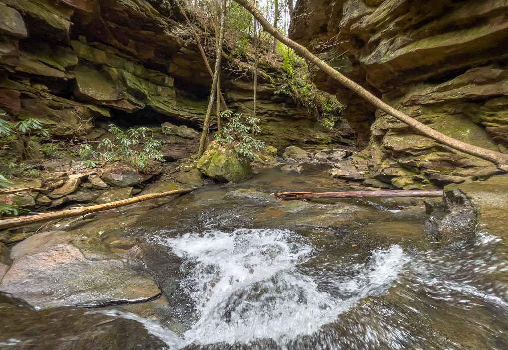
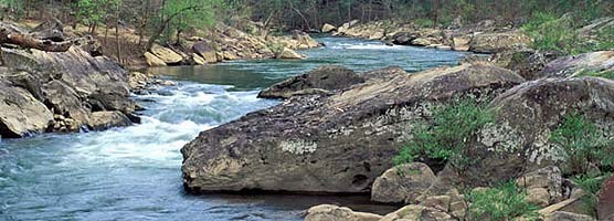
This is a very small creek. Putin is barely enough to float a boat, but several tributaries quickly converge. Tight slots, fast slides, waterfalls, undercuts. Highlight is Twin Devil's Falls. The runout on the last 2 miles of Richland Creek will be at high water.
Big Devil's Creek is 2.75 miles to Richland and then 2 miles to the Campground access. Average and maximum gradients are for put-in to the Richland confluence.
Put-in: Head North on Richland Creek Road (NFS 5080) from Richland Creek Campground and head up the mountain to Icelado Gap. This will be at the bottom of the first steep downhill is encountered. There is an intersection and a house to the South. Follow the NFS Road 5082 south past the House to Campbell Cemetery. Carry 0.25 miles down to the creek.
Take-out: Continuing East on Hwy 16 from Ben Hur for 1.5 miles and turn onto Upper Falling Water Road and follow to NFS Richland Creek Campground. This road will parallel Falling Water Creek most of the way. This can also be reached by taking Falling Water Road farther East off Hwy 16.
This run begins as a creek so tiny that you will think you have made a mistake, but quickly builds in intensity. Lots of ledge drops and slides and several undercuts. The "Sphinkter" is visually impressive. Remember that a deep undercut lurks under the river right wall! Be sure to run the right side of the first 12-ft waterfall (This one is named Don Hamilton Falls in Tim Ernst Arkansas Waterfalls book.) After this, some tight boulder jumbles lead to the entrance to the Twin Falls, the highlight of the trip. Depending on water level, you may either run the Big Devil's side, or access and run the Long Devil's side via a short trail. Be prepared for a "big water" creek run through some of Richland's most difficult rapids after the junction (IV+/V at these levels). All rapids have been run, although the boulder jumble just below the first waterfall is marginal for most water levels.
Rapids in this Run (2)
Waterfalls (2)
Hazards & Portages (3)
Caution: The following locations may require scouting or portaging. Always check current conditions.
Difficulty
Class III-IV(V)
Length
4.7 mi
Gradient
180 ft/mi
max 220
Rapids
2
3 Hazards
Access Points
Shuttle Info
**Put-in:** Head North on NFS Road 1205 from Richland Creek Campground and head up the mountain to Icelado Gap. This will be at the bottom of the first steep downhill encountered. There is an intersection and a house to the South. Follow the road south past the House to Campbell Cemetery. Drag 0.25 miles to the creek.
**Take-out:** Continuing East on Hwy 16 from Ben Hur for 1.5 miles and turn onto Pope County Road 68 (NFS 1205) and follow to NFS Richland Creek Campground. This road will parallel Falling Water Creek most of the way. This can also be reached by taking Pope County Road 18 (Falling Water Road) farther East off Hwy 16.
Difficulty Classes
I Easy
II Novice
III Intermediate
IV Advanced
V Expert/Extreme
VI Unrunnable
Current Conditions
5-Day Forecast
Whitewater data from
American Whitewater
American Whitewater