Rapid
AR
Drainage: ~1 square mile
Save this feature with the run it belongs to.
Gauge Conditions
Data from American Whitewater & USGS
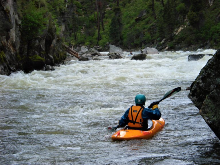
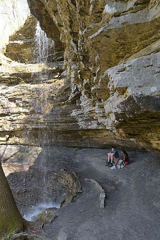
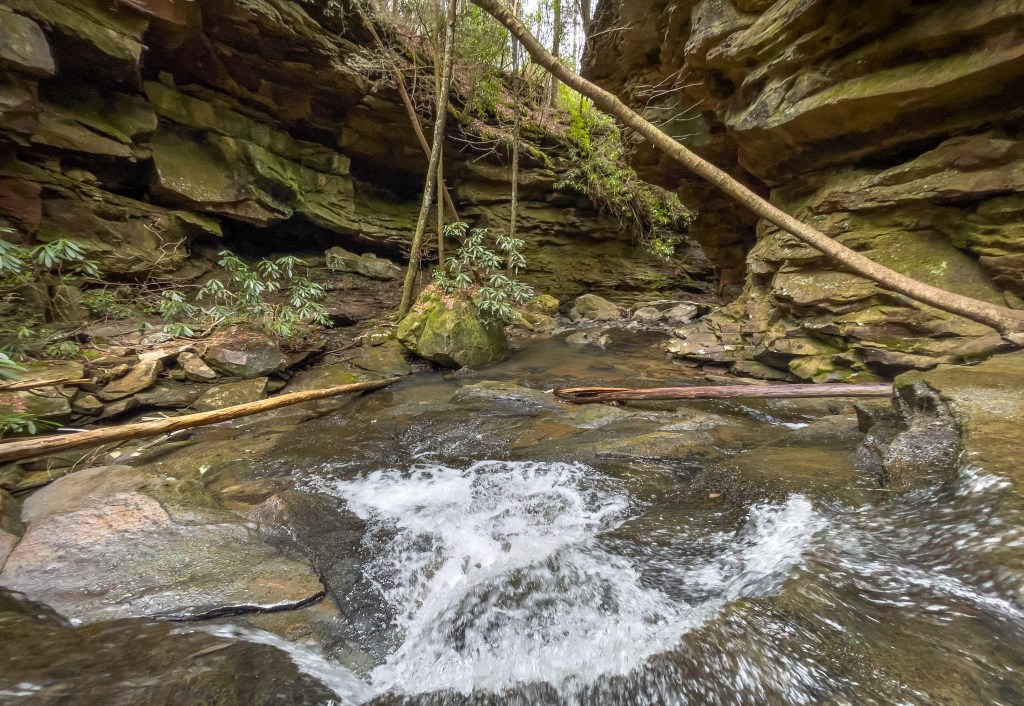
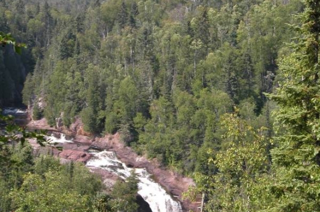
Photo
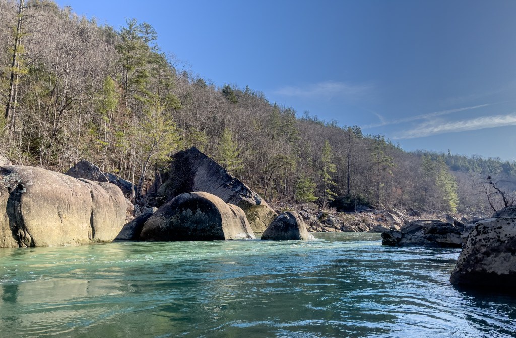
Photo courtesy of American Whitewater
Description
Just downstream of the listed put-in coordinates (at the juncture of two streams), drainage area is ~1 square mile (as calculated by USGS StreamStats 4.2.0 software).
Just prior to merging with Long Devil's Fork, drainage has risen to ~3.8 square miles.
Long Devil's Fork at that point has drainage of ~5.11 square miles, for a combined drainage of ~8.9 square miles. Not far downstream, you'll enter Richland Creek, and the combined drainage after the confluence will be ~41.6 square miles (obviously meaning a huge jump in volume in that run).
Location
View Full Run
Hill Cemetery to Richland Creek (2.75+2 miles)
Big Devil's Fork
III-IV(V)
4.7 mi
Current Conditions
5-Day Forecast
Whitewater data from
American Whitewater
American Whitewater