Hwy.41 to Lower Falls (9.4 miles)
No sufficiently local live gauge linked. 1 automated match was excluded because locality could not be verified. Difficulty and route details are not current water conditions.
Run Map
Description
The Gratiot River (I'm told the locals pronounce it _"grashit"_) is a tiny stream that may be an option if the Eagle is too high.
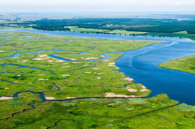
There are two sections of elevated gradient, the first being to either side of the Cliff Rd bridge and the second through the Upper and Lower Falls sequences. There is about five miles of flat, and at times marshy, river between the steeper sections.
The lower "Falls" section could be done as a shorter run (from Five Mile Point Rd bridge yields a run of about 3.5 miles). Upper Falls is a fairly long, low angle slide. Lower Falls is shorter and is of mixed bedrock/boulderbed composition, also more of a rapid than a true falls.
The road to the take-out is a logging track that may not be driveable in the early spring. Four-wheel drive and high clearance recommended. As with all small U.P. rivers, this is prone to strainers.
Rapids in this Run (1)
Difficulty
Class II-III
Length
9.3 mi
Gradient
50 ft/mi
max 85
Rapids
1
Access Points
Difficulty Classes
I Easy
II Novice
III Intermediate
IV Advanced
V Expert/Extreme
VI Unrunnable
Current Conditions
5-Day Forecast
Whitewater data from
American Whitewater
American Whitewater