Rapid
MI
Drainage area ~6.8 square miles.
Save this feature with the run it belongs to.
No sufficiently local live gauge linked. 1 automated match was excluded because locality could not be verified. Use the parent run and local sources before making a trip decision.
Photo
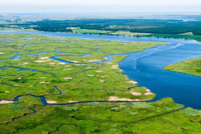
Photo courtesy of American Whitewater
Description
By my best estimation, using online planimeter and topo maps, drainage at our listed put-in is ~6.8 square miles. By the gauge (well down the run) it has more than doubled, to 14.9 square miles.
Location
View Full Run
Hwy.41 to Lower Falls (9.4 miles)
Gratiot
II-III
9.3 mi
Current Conditions
5-Day Forecast
Whitewater data from
American Whitewater
American Whitewater